17555 Highway B Edgerton, MO 64444
Estimated Value: $375,616 - $627,000
3
Beds
1
Bath
1,260
Sq Ft
$392/Sq Ft
Est. Value
About This Home
This home is located at 17555 Highway B, Edgerton, MO 64444 and is currently estimated at $493,539, approximately $391 per square foot. 17555 Highway B is a home located in Platte County with nearby schools including North Platte Elementary School, North Platte Intermediate School, and North Platte Junior High School.
Ownership History
Date
Name
Owned For
Owner Type
Purchase Details
Closed on
Feb 19, 2024
Sold by
Lindsey Kathleen Kay
Bought by
Lindsey Revocable Trust and Lindsey
Current Estimated Value
Purchase Details
Closed on
May 7, 2015
Sold by
Mann John W and Mann Michelle L
Bought by
Lindsey Kathleen Kay
Home Financials for this Owner
Home Financials are based on the most recent Mortgage that was taken out on this home.
Original Mortgage
$120,000
Interest Rate
3.74%
Mortgage Type
New Conventional
Create a Home Valuation Report for This Property
The Home Valuation Report is an in-depth analysis detailing your home's value as well as a comparison with similar homes in the area
Home Values in the Area
Average Home Value in this Area
Purchase History
| Date | Buyer | Sale Price | Title Company |
|---|---|---|---|
| Lindsey Revocable Trust | -- | None Listed On Document | |
| Lindsey Kathleen Kay | -- | None Available | |
| Lindsey Kathleen Kay | -- | Stewart Title |
Source: Public Records
Mortgage History
| Date | Status | Borrower | Loan Amount |
|---|---|---|---|
| Previous Owner | Lindsey Kathleen Kay | $120,000 |
Source: Public Records
Tax History Compared to Growth
Tax History
| Year | Tax Paid | Tax Assessment Tax Assessment Total Assessment is a certain percentage of the fair market value that is determined by local assessors to be the total taxable value of land and additions on the property. | Land | Improvement |
|---|---|---|---|---|
| 2025 | $1,092 | $15,373 | $4,016 | $11,357 |
| 2024 | $1,047 | $15,373 | $4,016 | $11,357 |
| 2023 | $1,047 | $15,373 | $4,016 | $11,357 |
| 2022 | $1,067 | $15,373 | $4,016 | $11,357 |
| 2021 | $1,074 | $15,373 | $4,016 | $11,357 |
| 2020 | $1,066 | $15,750 | $4,393 | $11,357 |
| 2019 | $1,066 | $0 | $0 | $0 |
| 2018 | $1,075 | $15,750 | $4,393 | $11,357 |
| 2017 | $1,075 | $15,750 | $4,393 | $11,357 |
| 2016 | $1,064 | $15,750 | $4,393 | $11,357 |
| 2015 | $1,064 | $15,750 | $4,393 | $11,357 |
| 2013 | -- | $15,662 | $0 | $0 |
Source: Public Records
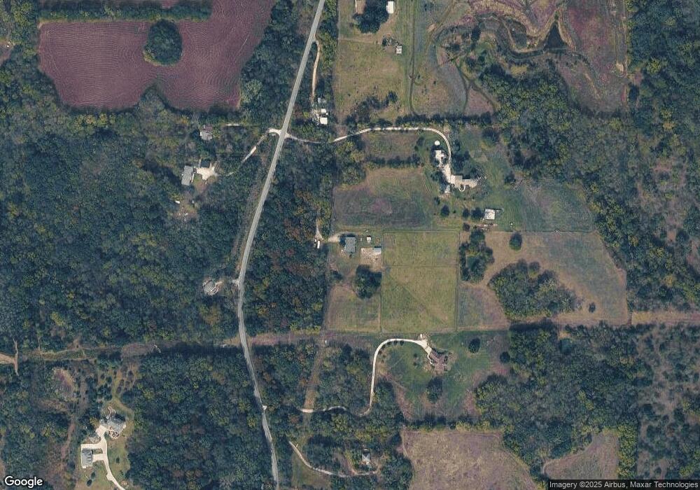
Map
Nearby Homes
- 0 Smith Rd
- 17135 Smith Rd
- 16695 B Hwy
- 0 Cockriel Rd
- 8422 Hoover Rd
- 9170 E Hwy
- 19845 S Ridgely Rd
- 19925 S Ridgely Rd
- 15145 Lakeport Ln
- 2635 Second Creek Rd
- 18723 County Line Road N A
- 104 S Prairie Rose Cir
- 213 Kk Hwy
- 701 NW 176th St
- 205 Double Tree Ln
- 14655 Gale Rd
- 702 Quincy Blvd
- 1.77 Acres Highway 169
- 0000 Highway 169
- 303 Hillcrest Dr
- 17560 Highway B
- 17560 Highway B
- 17585 Highway B
- 17560 Highway B
- 17587 Highway B
- 17470 Highway B
- 17605 Highway B
- 17365 B Hwy
- 17580 Highway B
- 17625 Highway B
- 17625 Highway B
- 17360 B Hwy
- 6950 Covered Bridge Rd
- 17765 Highway B
- 17765 Highway B
- 6025 Kk Hwy
- 17780 Highway B
- 7295 Covered Bridge Rd
- 17855 Highway B
- 17855 Highway B