17575 Amelia Earhart Dr Leavenworth, KS 66048
Estimated Value: $599,000 - $857,400
4
Beds
4
Baths
3,293
Sq Ft
$230/Sq Ft
Est. Value
About This Home
This home is located at 17575 Amelia Earhart Dr, Leavenworth, KS 66048 and is currently estimated at $758,850, approximately $230 per square foot. 17575 Amelia Earhart Dr is a home located in Leavenworth County with nearby schools including Pleasant Ridge Elementary School, Pleasant Ridge Middle School, and Pleasant Ridge High School.
Ownership History
Date
Name
Owned For
Owner Type
Purchase Details
Closed on
Dec 1, 1998
Bought by
Simanowitz Gary J and Simanowitz Geri A
Current Estimated Value
Home Financials for this Owner
Home Financials are based on the most recent Mortgage that was taken out on this home.
Original Mortgage
$60,000
Outstanding Balance
$36,108
Interest Rate
6.78%
Mortgage Type
New Conventional
Estimated Equity
$722,742
Create a Home Valuation Report for This Property
The Home Valuation Report is an in-depth analysis detailing your home's value as well as a comparison with similar homes in the area
Home Values in the Area
Average Home Value in this Area
Purchase History
| Date | Buyer | Sale Price | Title Company |
|---|---|---|---|
| Simanowitz Gary J | -- | -- |
Source: Public Records
Mortgage History
| Date | Status | Borrower | Loan Amount |
|---|---|---|---|
| Open | Simanowitz Gary J | $60,000 |
Source: Public Records
Tax History Compared to Growth
Tax History
| Year | Tax Paid | Tax Assessment Tax Assessment Total Assessment is a certain percentage of the fair market value that is determined by local assessors to be the total taxable value of land and additions on the property. | Land | Improvement |
|---|---|---|---|---|
| 2025 | $7,374 | $74,369 | $9,982 | $64,387 |
| 2024 | $7,132 | $72,183 | $9,883 | $62,300 |
| 2023 | $7,132 | $70,343 | $10,060 | $60,283 |
| 2022 | $6,317 | $62,075 | $9,175 | $52,900 |
| 2021 | $6,144 | $59,105 | $8,073 | $51,032 |
| 2020 | $5,706 | $54,633 | $7,730 | $46,903 |
| 2019 | $5,462 | $52,187 | $7,172 | $45,015 |
| 2018 | $4,949 | $47,382 | $5,955 | $41,427 |
| 2017 | $4,827 | $46,048 | $5,473 | $40,575 |
| 2016 | $4,691 | $44,685 | $5,167 | $39,518 |
| 2015 | $4,522 | $42,816 | $4,846 | $37,970 |
| 2014 | $4,368 | $41,577 | $4,558 | $37,019 |
Source: Public Records
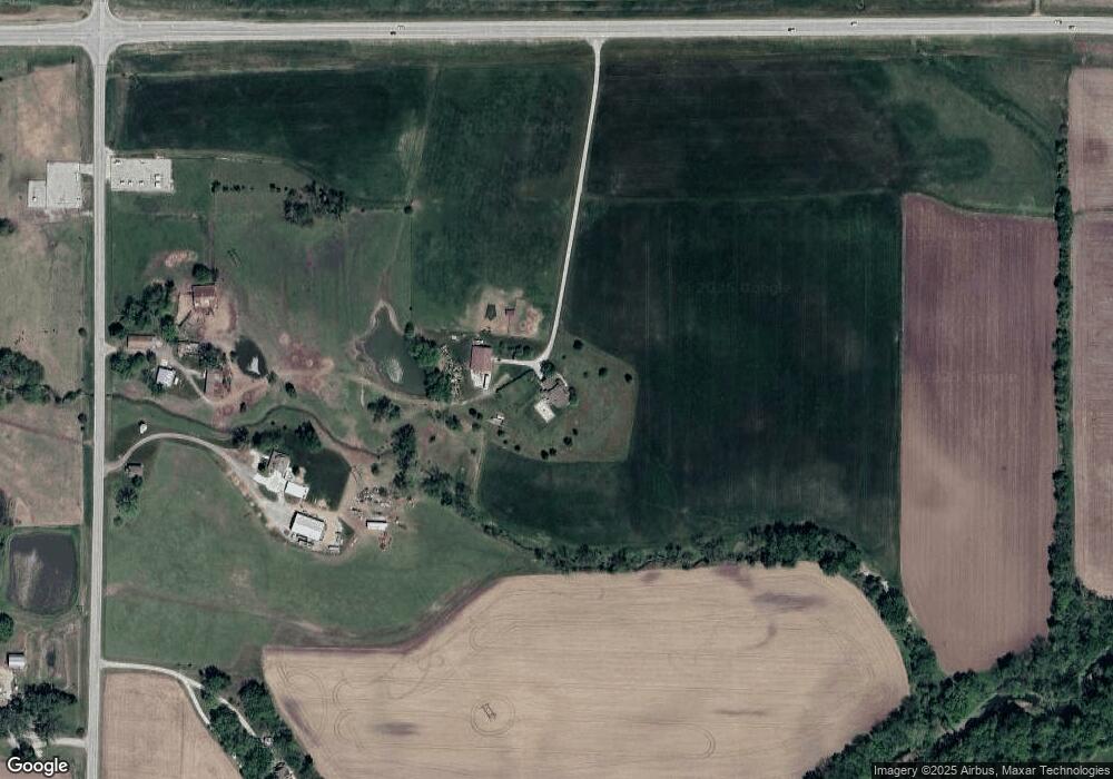
Map
Nearby Homes
- 17051 Mount Olivet Rd
- 16425 Fort Riley Rd
- 2017 Metropolitan Ave
- 000000 195th St
- 0 195th St
- 1927 Pottawatomie St
- 1844 Ottawa St
- 33931 167th St
- 1919 Seneca St
- 1706 Ottawa St
- 1835 Miami St
- 1611 Kiowa St
- 1051 N 16th St
- 318 N 18th St
- 1933 Cherokee St
- 1428 Kiowa St
- 1503 Kiowa St
- 1416 Kiowa St
- 16321 Hildebrandt Rd
- 401 S 20th St
- 31802 179th St
- 31874 179th St
- 31720 179th St
- 00000 179 St
- 32102 179th St
- 31707 179th St
- 17991 Amelia Earhart Dr
- 32075 179th St
- 32055 179th St
- 17992 Amelia Earhart Dr
- 31556 179th St
- 32159 179th St
- 17625 Santa fe Trail
- 18032 Amelia Earhart Dr
- 32268 179th St
- 32161 179th St
- 18072 Amelia Earhart Dr
- 17560 Santa fe Trail
- 17528 Santa fe Trail
- 17492 Santa fe Trail