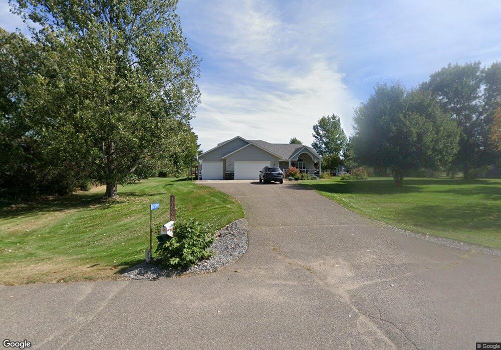
17598 Caroline Ln Little Falls, MN 56345
Estimated Value: $405,000 - $460,000
4
Beds
3
Baths
1,509
Sq Ft
$282/Sq Ft
Est. Value
About This Home
This home is located at 17598 Caroline Ln, Little Falls, MN 56345 and is currently estimated at $426,140, approximately $282 per square foot. 17598 Caroline Ln is a home located in Morrison County with nearby schools including Little Falls Senior High School, Mary of Lourdes School, and Mary of Lourdes Elementary.
Ownership History
Date
Name
Owned For
Owner Type
Purchase Details
Closed on
Jun 13, 2018
Sold by
Vonderhaar Neil Neil
Bought by
Vonberge Kristina Kristina
Current Estimated Value
Home Financials for this Owner
Home Financials are based on the most recent Mortgage that was taken out on this home.
Original Mortgage
$266,000
Outstanding Balance
$230,560
Interest Rate
4.6%
Mortgage Type
VA
Estimated Equity
$195,580
Create a Home Valuation Report for This Property
The Home Valuation Report is an in-depth analysis detailing your home's value as well as a comparison with similar homes in the area
Home Values in the Area
Average Home Value in this Area
Purchase History
| Date | Buyer | Sale Price | Title Company |
|---|---|---|---|
| Vonberge Kristina Kristina | $266,000 | -- | |
| Vonberge Kristina M | $266,000 | None Available |
Source: Public Records
Mortgage History
| Date | Status | Borrower | Loan Amount |
|---|---|---|---|
| Open | Vonberge Kristina M | $266,000 | |
| Closed | Vonberge Kristina Kristina | $266,000 |
Source: Public Records
Tax History Compared to Growth
Tax History
| Year | Tax Paid | Tax Assessment Tax Assessment Total Assessment is a certain percentage of the fair market value that is determined by local assessors to be the total taxable value of land and additions on the property. | Land | Improvement |
|---|---|---|---|---|
| 2025 | $548 | $384,500 | $46,300 | $338,200 |
| 2024 | $1,936 | $339,000 | $46,300 | $292,700 |
| 2023 | $2,176 | $291,600 | $42,100 | $249,500 |
| 2022 | $1,570 | $300,200 | $42,100 | $258,100 |
| 2021 | $1,850 | $253,600 | $42,100 | $211,500 |
| 2020 | $1,516 | $715,600 | $126,300 | $589,300 |
| 2019 | $886 | $244,400 | $42,100 | $202,300 |
| 2018 | $3,220 | $201,500 | $42,100 | $159,400 |
| 2017 | $3,020 | $201,500 | $42,100 | $159,400 |
| 2016 | $2,872 | $0 | $0 | $0 |
| 2014 | $1,570 | $0 | $0 | $0 |
Source: Public Records
Map
Nearby Homes
- Block 3 Lot 1 Weston Cir
- Lot 21 Grace Ln
- Lot 25 Edmund St
- Lot 26 Edmund St
- Lot 23 Edmund St
- Block 3 Lot 2 Weston Cir
- Block 3 Lot 5 Weston Cir
- Lot 19 Walker Ln
- Block 2 Lot 2 Weston Cir
- Block 2 Lot 3 Weston Cir
- Lot 18 Walker Ln
- Lot 12 Weston Cir
- 17639 Gayle Dr
- Lot 17 Walker Ln
- 14970 Mary Beth Ln
- 14978 Taylor Dr
- 14755 Ryan St
- 16941 Grove St
- 14535 Park Ave
- 18791 Grouse Rd
- 17546 Caroline Ln
- 17622 Caroline Ln
- 14779 Edmund St
- 17475 Caroline Ln
- 17474 Caroline Ln
- 17567 Caroline Ln
- 14817 Edmund St
- 14721 Edmund St
- 14870 Weston Cir
- 17664 Carter Ln
- 14835 Edmund St
- 14754 Edmund St
- 17483 Caroline Ln
- 17487 Caroline Ln
- 17682 Carter Ln
- 14997 Weston Cir
- 17671 Carter Ln
- 17499 Caroline Ln
- 14867 Breann Cir
- 0 Gayle Dr