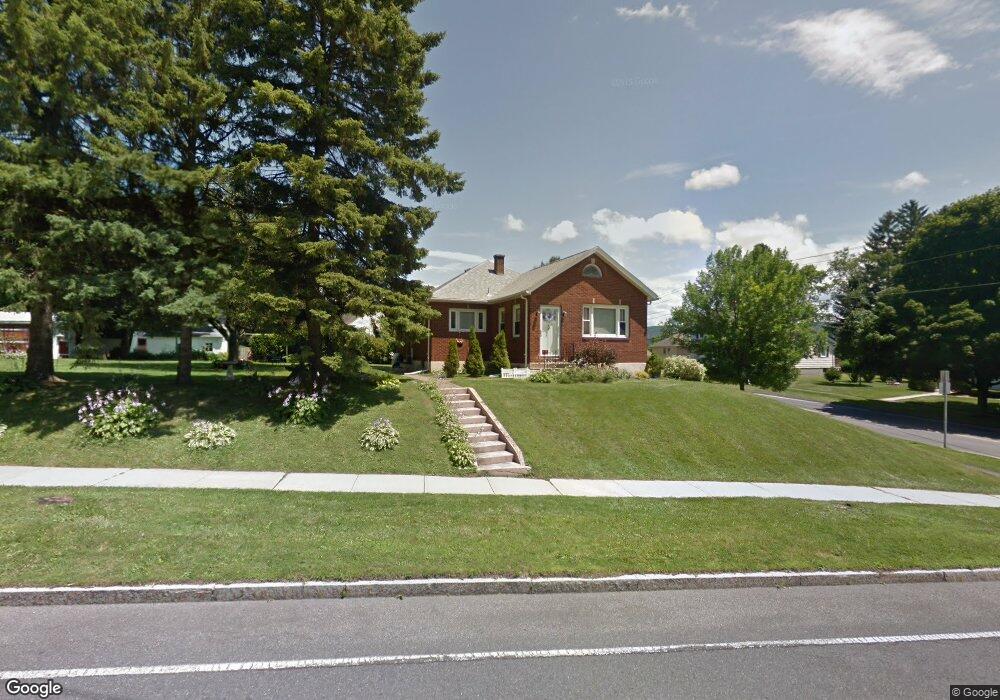
176 Benedict Rd Pittsfield, MA 01201
Estimated Value: $254,000 - $327,000
3
Beds
2
Baths
1,097
Sq Ft
$256/Sq Ft
Est. Value
About This Home
This home is located at 176 Benedict Rd, Pittsfield, MA 01201 and is currently estimated at $280,393, approximately $255 per square foot. 176 Benedict Rd is a home located in Berkshire County with nearby schools including Allendale Elementary School, Theodore Herberg Middle School, and Pittsfield High School.
Ownership History
Date
Name
Owned For
Owner Type
Purchase Details
Closed on
Sep 28, 2001
Sold by
Smith Shirley R
Bought by
Ressler Lisa A
Current Estimated Value
Home Financials for this Owner
Home Financials are based on the most recent Mortgage that was taken out on this home.
Original Mortgage
$76,160
Interest Rate
6.91%
Mortgage Type
Purchase Money Mortgage
Create a Home Valuation Report for This Property
The Home Valuation Report is an in-depth analysis detailing your home's value as well as a comparison with similar homes in the area
Home Values in the Area
Average Home Value in this Area
Purchase History
| Date | Buyer | Sale Price | Title Company |
|---|---|---|---|
| Ressler Lisa A | $95,200 | -- | |
| Ressler Lisa A | $95,200 | -- |
Source: Public Records
Mortgage History
| Date | Status | Borrower | Loan Amount |
|---|---|---|---|
| Open | Ressler Lisa A | $150,000 | |
| Closed | Ressler Lisa A | $76,160 |
Source: Public Records
Tax History
| Year | Tax Paid | Tax Assessment Tax Assessment Total Assessment is a certain percentage of the fair market value that is determined by local assessors to be the total taxable value of land and additions on the property. | Land | Improvement |
|---|---|---|---|---|
| 2025 | $4,293 | $239,300 | $66,700 | $172,600 |
| 2024 | $3,985 | $216,000 | $66,700 | $149,300 |
| 2023 | $3,620 | $197,600 | $61,700 | $135,900 |
| 2022 | $3,293 | $177,400 | $59,200 | $118,200 |
| 2021 | $3,086 | $160,300 | $59,200 | $101,100 |
| 2020 | $3,124 | $158,500 | $59,200 | $99,300 |
| 2019 | $2,905 | $149,600 | $53,700 | $95,900 |
| 2018 | $2,951 | $147,500 | $53,700 | $93,800 |
| 2017 | $2,787 | $142,000 | $51,700 | $90,300 |
| 2016 | $2,589 | $138,000 | $51,600 | $86,400 |
| 2015 | $2,492 | $138,000 | $51,600 | $86,400 |
Source: Public Records
Map
Nearby Homes
- 21 Ensign Ave
- 89 Delancy Ave
- 0 Stanley Ave
- 81 Dartmouth St Unit 108
- 91 Dalton Ave
- 40 Roland St
- 74 Norman Ave
- 258 Dalton Ave
- 121 Elberon Ave
- 162 Woodlawn Ave
- 71 Dickinson Ave
- 135 Allengate Ave
- I11001904 Scammell Ave
- 0 Brown St
- 0 Parker St
- 48 Brown St
- 56 Spring St
- 0 Courtland Place
- 118 Lincoln St
- 762 East St
- 15 Elberon Ave
- 190 Benedict Rd
- 401 Springside Ave
- 21 Elberon Ave
- 185 Benedict Rd
- 8 Elberon Ave
- 187 Benedict Rd
- 192 Benedict Rd
- 189 Benedict Rd
- 23 Elberon Ave
- 18 Elberon Ave
- 393 Springside Ave
- 47 Pittsfield Ave
- 196 Benedict Rd
- 49 Pittsfield Ave
- 174 Benedict Rd
- 10 Ensign Ave
- 14 Ensign Ave
- 25 Elberon Ave
- 391 Springside Ave
Your Personal Tour Guide
Ask me questions while you tour the home.