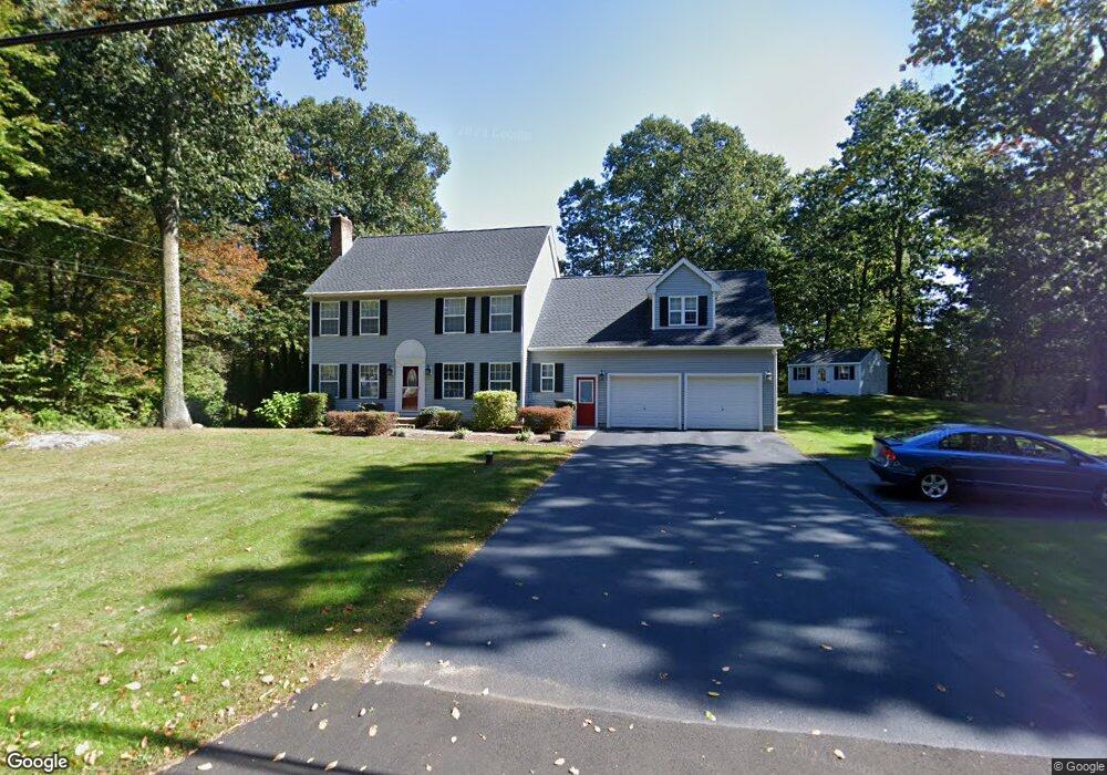
176 Cook Rd Tolland, CT 06084
Estimated Value: $464,000 - $676,000
4
Beds
3
Baths
2,317
Sq Ft
$249/Sq Ft
Est. Value
About This Home
This home is located at 176 Cook Rd, Tolland, CT 06084 and is currently estimated at $578,089, approximately $249 per square foot. 176 Cook Rd is a home located in Tolland County with nearby schools including Birch Grove Primary School, Tolland Intermediate School, and Tolland Middle School.
Ownership History
Date
Name
Owned For
Owner Type
Purchase Details
Closed on
Jun 13, 2007
Sold by
Silver Eric and Silver Shelley
Bought by
Keller Ferris and Keller Susan
Current Estimated Value
Home Financials for this Owner
Home Financials are based on the most recent Mortgage that was taken out on this home.
Original Mortgage
$300,000
Interest Rate
6.19%
Purchase Details
Closed on
Aug 19, 2005
Sold by
Peck Donald
Bought by
Silver Eric and Silver Shelley
Purchase Details
Closed on
Jul 15, 2003
Sold by
Hall William and Hall Emily
Bought by
Peck Carla and Peck Donald
Purchase Details
Closed on
Dec 31, 1998
Sold by
S Williams Gen Const
Bought by
Hall William and Hall Emily
Create a Home Valuation Report for This Property
The Home Valuation Report is an in-depth analysis detailing your home's value as well as a comparison with similar homes in the area
Home Values in the Area
Average Home Value in this Area
Purchase History
| Date | Buyer | Sale Price | Title Company |
|---|---|---|---|
| Keller Ferris | $375,000 | -- | |
| Keller Ferris | $375,000 | -- | |
| Silver Eric | $377,900 | -- | |
| Silver Eric | $377,900 | -- | |
| Peck Carla | $299,900 | -- | |
| Peck Carla | $299,900 | -- | |
| Hall William | $35,000 | -- | |
| Hall William | $35,000 | -- |
Source: Public Records
Mortgage History
| Date | Status | Borrower | Loan Amount |
|---|---|---|---|
| Open | Hall William | $309,000 | |
| Closed | Hall William | $300,000 |
Source: Public Records
Tax History Compared to Growth
Tax History
| Year | Tax Paid | Tax Assessment Tax Assessment Total Assessment is a certain percentage of the fair market value that is determined by local assessors to be the total taxable value of land and additions on the property. | Land | Improvement |
|---|---|---|---|---|
| 2025 | $8,850 | $325,500 | $77,800 | $247,700 |
| 2024 | $8,411 | $222,700 | $74,200 | $148,500 |
| 2023 | $8,313 | $222,700 | $74,200 | $148,500 |
| 2022 | $8,146 | $222,700 | $74,200 | $148,500 |
| 2021 | $8,264 | $222,700 | $74,200 | $148,500 |
| 2020 | $8,028 | $222,700 | $74,200 | $148,500 |
| 2019 | $8,338 | $231,300 | $76,400 | $154,900 |
| 2018 | $8,096 | $231,300 | $76,400 | $154,900 |
| 2017 | $7,908 | $231,300 | $76,400 | $154,900 |
| 2016 | $7,908 | $231,300 | $76,400 | $154,900 |
| 2015 | $7,716 | $231,300 | $76,400 | $154,900 |
| 2014 | $7,505 | $241,700 | $85,000 | $156,700 |
Source: Public Records
Map
Nearby Homes
- 71 Neff Hill Rd
- 110 Neff Hill Rd
- 130 Neff Hill Rd
- 105 Neff Hill Rd
- 137 Neff Hill Rd
- 77 Neff Hill Rd
- 84 Neff Hill Rd
- 15 Usher Ridge
- 68 Usher Ridge
- 36 Usher Ridge
- 68 Cook Rd
- 8 Neff Hill Rd
- 476 Old Stafford Rd
- 644 Buff Cap Rd
- 487 Buff Cap Rd
- 40 Buff Cap Rd
- 131 Barstow Ln
- 127 Sandy Beach Rd
- 72 Midland Dr
- 26 Green St