176 Covered Bridge Trail SW Smyrna, GA 30082
Estimated Value: $842,721 - $987,000
4
Beds
4
Baths
3,849
Sq Ft
$240/Sq Ft
Est. Value
About This Home
This home is located at 176 Covered Bridge Trail SW, Smyrna, GA 30082 and is currently estimated at $922,907, approximately $239 per square foot. 176 Covered Bridge Trail SW is a home located in Cobb County with nearby schools including Russell Elementary School, Floyd Middle School, and Covered Bridge Academy.
Ownership History
Date
Name
Owned For
Owner Type
Purchase Details
Closed on
Aug 25, 2009
Sold by
Konkle Richard A
Bought by
Konkle Richard A and Ansley Viriginia
Current Estimated Value
Home Financials for this Owner
Home Financials are based on the most recent Mortgage that was taken out on this home.
Original Mortgage
$922,500
Outstanding Balance
$599,631
Interest Rate
5.15%
Mortgage Type
FHA
Estimated Equity
$323,276
Purchase Details
Closed on
Aug 25, 2008
Sold by
Ansley Virginia A
Bought by
Konkle Richard A
Purchase Details
Closed on
Jun 28, 2002
Sold by
John Willis Homes Inc
Bought by
Konkle Richard A
Home Financials for this Owner
Home Financials are based on the most recent Mortgage that was taken out on this home.
Original Mortgage
$86,150
Interest Rate
6.75%
Mortgage Type
Stand Alone Refi Refinance Of Original Loan
Create a Home Valuation Report for This Property
The Home Valuation Report is an in-depth analysis detailing your home's value as well as a comparison with similar homes in the area
Home Values in the Area
Average Home Value in this Area
Purchase History
| Date | Buyer | Sale Price | Title Company |
|---|---|---|---|
| Konkle Richard A | -- | -- | |
| Konkle Richard A | -- | -- | |
| Konkle Richard A | $574,500 | -- |
Source: Public Records
Mortgage History
| Date | Status | Borrower | Loan Amount |
|---|---|---|---|
| Open | Konkle Richard A | $922,500 | |
| Previous Owner | Konkle Richard A | $86,150 | |
| Previous Owner | Konkle Richard A | $430,000 |
Source: Public Records
Tax History Compared to Growth
Tax History
| Year | Tax Paid | Tax Assessment Tax Assessment Total Assessment is a certain percentage of the fair market value that is determined by local assessors to be the total taxable value of land and additions on the property. | Land | Improvement |
|---|---|---|---|---|
| 2025 | $2,977 | $411,380 | $76,760 | $334,620 |
| 2024 | $2,985 | $411,380 | $76,760 | $334,620 |
| 2023 | $2,376 | $276,656 | $42,420 | $234,236 |
| 2022 | $2,464 | $237,132 | $36,360 | $200,772 |
| 2021 | $2,431 | $225,968 | $34,340 | $191,628 |
| 2020 | $2,407 | $217,888 | $26,260 | $191,628 |
| 2019 | $2,407 | $217,888 | $26,260 | $191,628 |
| 2018 | $2,083 | $189,288 | $14,140 | $175,148 |
| 2017 | $1,797 | $189,288 | $14,140 | $175,148 |
| 2016 | $1,692 | $178,512 | $12,120 | $166,392 |
| 2015 | $1,692 | $167,776 | $12,120 | $155,656 |
| 2014 | $1,724 | $167,776 | $0 | $0 |
Source: Public Records
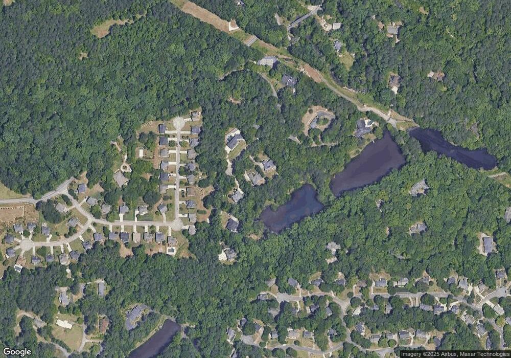
Map
Nearby Homes
- 188 Covered Bridge Trail SW
- 4800 Timberland Dr SW
- 221 Shady Ln SW
- 35 Dunaire Ct SW
- 450 Dorset Way SW
- 51 Queen Anne Dr SE
- 4094 Norton Place SE
- 620 Gregory Manor Dr SW
- 639 Concord Rd SW
- 4025 Benell Ct SE
- 4066 Covered Bridge Rd SW
- 5020 Hickory Mill Dr SE
- 2508 Haddenham Ln SW
- 637 Carlouetta Rd SW
- 26 Flint Ridge Dr SE
- 647 Shannon Green Cir SW
- 4487 S Springwood Dr SW
- 4724 Warrior Way SE Unit II
- 170 Covered Bridge Trail SW Unit 1
- 170 Covered Bridge Trail SW
- 182 Covered Bridge Trail SW Unit 182
- 182 Covered Bridge Trail SW
- 3941 Covered Bridge Trail
- 178 Covered Bridge Dr SW
- 0 Covered Bridge Trail Unit 8069645
- 0 Covered Bridge Trail Unit 8049856
- 0 Covered Bridge Trail Unit 8044068
- 0 Covered Bridge Trail Unit 7629741
- 0 Covered Bridge Trail Unit 7471915
- 0 Covered Bridge Trail Unit 8503192
- 0 Covered Bridge Trail Unit 7024593
- 0 Covered Bridge Trail Unit 8953504
- 0 Covered Bridge Trail Unit 8977332
- 0 Covered Bridge Trail Unit 3120652
- 0 Covered Bridge Trail Unit 3247926
- 175 Covered Bridge Trail SW
- 161 Covered Bridge Dr SW
- 194 Covered Bridge Trail SW