176 Deer Trace Rd Manchester, TN 37355
Estimated Value: $339,860 - $425,000
--
Bed
2
Baths
1,400
Sq Ft
$261/Sq Ft
Est. Value
About This Home
This home is located at 176 Deer Trace Rd, Manchester, TN 37355 and is currently estimated at $364,965, approximately $260 per square foot. 176 Deer Trace Rd is a home located in Coffee County with nearby schools including North Coffee Elementary School, Coffee County Middle School, and Coffee County Central High School.
Ownership History
Date
Name
Owned For
Owner Type
Purchase Details
Closed on
Sep 11, 2018
Sold by
Marchi Maryester Julia
Bought by
Adcock Edward Key and Adcock Cindy
Current Estimated Value
Purchase Details
Closed on
Feb 14, 2001
Sold by
Reynolds Charlie R
Bought by
March Maryesther J
Purchase Details
Closed on
Aug 27, 1998
Bought by
Marchi Antonio
Purchase Details
Closed on
Jul 31, 1995
Bought by
Greene Frank E and Greene Helen G
Create a Home Valuation Report for This Property
The Home Valuation Report is an in-depth analysis detailing your home's value as well as a comparison with similar homes in the area
Home Values in the Area
Average Home Value in this Area
Purchase History
| Date | Buyer | Sale Price | Title Company |
|---|---|---|---|
| Adcock Edward Key | $175,000 | Bell & Alexander Title | |
| March Maryesther J | -- | -- | |
| Marchi Antonio | $39,600 | -- | |
| Greene Frank E | $5,800 | -- |
Source: Public Records
Tax History Compared to Growth
Tax History
| Year | Tax Paid | Tax Assessment Tax Assessment Total Assessment is a certain percentage of the fair market value that is determined by local assessors to be the total taxable value of land and additions on the property. | Land | Improvement |
|---|---|---|---|---|
| 2024 | $1,191 | $51,075 | $13,050 | $38,025 |
| 2023 | $1,191 | $51,075 | $0 | $0 |
| 2022 | $1,191 | $51,075 | $13,050 | $38,025 |
| 2021 | $1,153 | $39,325 | $9,400 | $29,925 |
| 2020 | $1,153 | $39,325 | $9,400 | $29,925 |
| 2019 | $1,153 | $39,325 | $9,400 | $29,925 |
| 2018 | $1,153 | $39,325 | $9,400 | $29,925 |
| 2017 | $1,171 | $35,900 | $8,975 | $26,925 |
| 2016 | $1,171 | $35,900 | $8,975 | $26,925 |
| 2015 | $1,171 | $35,900 | $8,975 | $26,925 |
| 2014 | $1,171 | $35,896 | $0 | $0 |
Source: Public Records
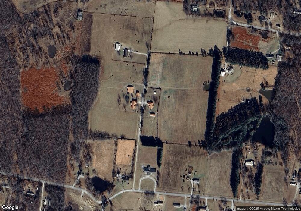
Map
Nearby Homes
- 426 Allie Boynton Dr
- 559 Geneva Boynton Rd
- 7130 Murfreesboro Hwy Unit 7130
- 7111 Murfreesboro Hwy
- 250 Shelley Rd
- 0 Walter Barnes Ln
- 3325 Farrar Hill Rd
- 637 N Ballard Rd
- 481 Matts Hollow Rd
- 0 Oneal Hollow Ln
- 4662 Murfreesboro Hwy Unit 4662
- 0 Panhandle Rd
- 0 Panhandle Rd Unit RTC3037634
- 431 Jack Thomas Dr
- 171 George Hill Rd
- 0 Noah Rd
- 1 Noah Rd
- 0 Noah Rd
- 14 Avery Ct
- 426 Fern Gully Ln
- 171 Deer Trace Rd
- 2396 Boynton Valley Rd
- 2506 Boynton Valley Rd
- 2293 Boynton Valley Rd
- 2150 Boynton Valley Rd
- 2263 Boynton Valley Rd
- 2449 Boynton Valley Rd
- 2239 Boynton Valley Rd
- 269 N Fork Rd
- 177 N Fork Rd
- 0 Farrrah Hill Rd
- 2189 Boynton Valley Rd
- 0 N Fork Rd
- 133 N Fork Rd
- 384 N Fork Rd
- 354 N Fork Rd
- 2028 Boynton Valley Rd
- 417 N Fork Rd
- 2705 Boynton Valley Rd
- 102 N Fork Rd