176 High Brook Rd Thornton, NH 03285
Estimated Value: $492,000 - $550,000
3
Beds
3
Baths
2,490
Sq Ft
$211/Sq Ft
Est. Value
About This Home
This home is located at 176 High Brook Rd, Thornton, NH 03285 and is currently estimated at $525,642, approximately $211 per square foot. 176 High Brook Rd is a home located in Grafton County with nearby schools including Thornton Central School and Plymouth Regional High School.
Ownership History
Date
Name
Owned For
Owner Type
Purchase Details
Closed on
Oct 12, 2011
Sold by
Maring Jason R and Maring Melissa A
Bought by
Menard Russell G and Maguire Theresa A
Current Estimated Value
Home Financials for this Owner
Home Financials are based on the most recent Mortgage that was taken out on this home.
Original Mortgage
$176,000
Outstanding Balance
$120,904
Interest Rate
4.25%
Mortgage Type
Purchase Money Mortgage
Estimated Equity
$404,738
Purchase Details
Closed on
Jul 3, 2006
Sold by
Zimmerman Lauren R
Bought by
Maring Jason R and Maring Melissa A
Home Financials for this Owner
Home Financials are based on the most recent Mortgage that was taken out on this home.
Original Mortgage
$192,000
Interest Rate
6.58%
Mortgage Type
Purchase Money Mortgage
Create a Home Valuation Report for This Property
The Home Valuation Report is an in-depth analysis detailing your home's value as well as a comparison with similar homes in the area
Home Values in the Area
Average Home Value in this Area
Purchase History
| Date | Buyer | Sale Price | Title Company |
|---|---|---|---|
| Menard Russell G | $220,000 | -- | |
| Maring Jason R | $240,000 | -- |
Source: Public Records
Mortgage History
| Date | Status | Borrower | Loan Amount |
|---|---|---|---|
| Open | Maring Jason R | $176,000 | |
| Previous Owner | Maring Jason R | $212,000 | |
| Previous Owner | Maring Jason R | $192,000 |
Source: Public Records
Tax History Compared to Growth
Tax History
| Year | Tax Paid | Tax Assessment Tax Assessment Total Assessment is a certain percentage of the fair market value that is determined by local assessors to be the total taxable value of land and additions on the property. | Land | Improvement |
|---|---|---|---|---|
| 2024 | $5,492 | $483,000 | $134,100 | $348,900 |
| 2023 | $5,327 | $256,600 | $77,800 | $178,800 |
| 2022 | $5,135 | $256,600 | $77,800 | $178,800 |
| 2021 | $5,330 | $256,600 | $77,800 | $178,800 |
| 2020 | $5,160 | $256,600 | $77,800 | $178,800 |
| 2019 | $4,793 | $256,600 | $77,800 | $178,800 |
| 2018 | $4,604 | $224,800 | $55,200 | $169,600 |
| 2017 | $4,393 | $224,800 | $55,200 | $169,600 |
| 2016 | $4,359 | $224,800 | $55,200 | $169,600 |
| 2015 | $4,294 | $224,800 | $55,200 | $169,600 |
| 2014 | $4,224 | $224,800 | $55,200 | $169,600 |
| 2013 | $4,073 | $222,100 | $44,900 | $177,200 |
Source: Public Records
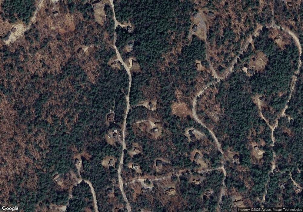
Map
Nearby Homes
- 110 Tamarack Rd
- 000 Upper Mad River Rd Unit 7
- 911 New Hampshire 49
- 89 Woodwinds Dr
- 612 Upper Mad River Rd Unit B
- 612 Upper Mad River Rd Unit A
- 612 Upper Mad River Rd Unit C
- Map 231 Woodwinds Dr
- 34 Liberty Ln Unit 2
- 11 Weeping Birches Ln
- 0 Checkerberry Ridge Rd Unit 142
- 184 Mad River Rd
- 129 Hodgeman Hill Rd
- C100 Hodgeman Hill Rd
- 189 Covered Bridge Rd
- 1 Condo Rd Unit 1
- 18 Condo Rd Unit 1
- 14 Parker Rd Unit C-2
- 37 Pegwood Hill Rd
- 65 Mountain River East Rd Unit 58
- Lot K47 Highbrook
- 168 High Brook Rd
- 176 Tamarack Rd
- 167 High Brook Rd
- 160 High Brook Rd
- 192 High Brook Rd
- 161 High Brook Rd
- 167 Tamarack Rd
- 40 High Brook Rd
- 195 High Brook Rd
- 21 Trillium Rd
- 154 High Brook Rd
- 151 High Brook Rd
- 9 Ledgeway Rd
- 194 High Brook Rd
- 154 Lee Brook Rd
- 33 Trillium Rd
- 172 Tamarack Rd
- 8 Trillium Rd
- 208 High Brook Rd