176 Jamie Loop Roseburg, OR 97471
Green NeighborhoodEstimated Value: $321,000 - $421,000
3
Beds
3
Baths
1,642
Sq Ft
$227/Sq Ft
Est. Value
About This Home
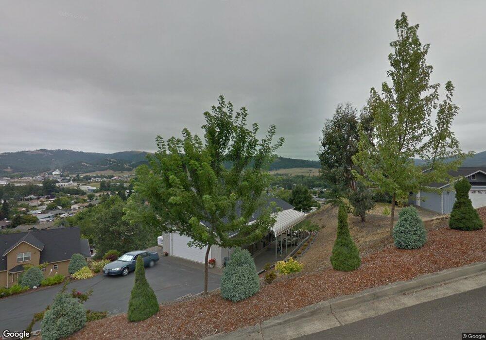
This home is located at 176 Jamie Loop, Roseburg, OR 97471 and is currently estimated at $373,436, approximately $227 per square foot. 176 Jamie Loop is a home located in Douglas County with nearby schools including Green Elementary School, John C. Fremont Middle School, and Roseburg High School.
Ownership History
Date
Name
Owned For
Owner Type
Purchase Details
Closed on
Aug 11, 2025
Sold by
Gale Steven D and Gale Kristina M
Bought by
Steven And Kristina Gale Joint Revocable Livi and Gale
Current Estimated Value
Purchase Details
Closed on
May 17, 2006
Sold by
Johnson David L
Bought by
Gale Steven D and Gale Kristina M
Home Financials for this Owner
Home Financials are based on the most recent Mortgage that was taken out on this home.
Original Mortgage
$175,000
Interest Rate
6.46%
Mortgage Type
Fannie Mae Freddie Mac
Create a Home Valuation Report for This Property
The Home Valuation Report is an in-depth analysis detailing your home's value as well as a comparison with similar homes in the area
Home Values in the Area
Average Home Value in this Area
Purchase History
| Date | Buyer | Sale Price | Title Company |
|---|---|---|---|
| Steven And Kristina Gale Joint Revocable Livi | -- | None Listed On Document | |
| Gale Steven D | $245,000 | First American Title Ins Co |
Source: Public Records
Mortgage History
| Date | Status | Borrower | Loan Amount |
|---|---|---|---|
| Previous Owner | Gale Steven D | $175,000 |
Source: Public Records
Tax History
| Year | Tax Paid | Tax Assessment Tax Assessment Total Assessment is a certain percentage of the fair market value that is determined by local assessors to be the total taxable value of land and additions on the property. | Land | Improvement |
|---|---|---|---|---|
| 2025 | $2,132 | $227,901 | -- | -- |
| 2024 | $2,070 | $221,264 | -- | -- |
| 2023 | $2,010 | $214,820 | $0 | $0 |
| 2022 | $1,951 | $208,564 | $0 | $0 |
| 2021 | $1,894 | $202,490 | $0 | $0 |
| 2020 | $1,913 | $196,593 | $0 | $0 |
| 2019 | $1,878 | $190,867 | $0 | $0 |
| 2018 | $1,834 | $185,308 | $0 | $0 |
| 2017 | $1,780 | $179,911 | $0 | $0 |
| 2016 | $1,748 | $174,671 | $0 | $0 |
| 2015 | $1,719 | $169,584 | $0 | $0 |
| 2014 | $1,665 | $164,645 | $0 | $0 |
| 2013 | -- | $159,850 | $0 | $0 |
Source: Public Records
Map
Nearby Homes
- 144 Peppertree Ct
- 200 Emils Way Unit 45
- 1993 Linnell Ave
- 4467 Melody Ln
- 1880 Linnell Ave
- 4885 SW Grange Rd
- 4807 SW Grange Rd
- 4913 Melody Ln
- 189 Bobwhite St
- 277 Armande Loop
- 2020 Del Mar Dr
- 2248 La Canada Dr
- 2345 Circle Dr
- 10 Carmel Ct
- 178 Grayson St
- 633 Highland Vista Ln
- 4216 Stella St
- 807 Callahan Dr
- 199 Zephyr Ct
- 4072 Hanna St
- 196 Jamie Loop
- 160 Jamie Loop
- 198 Jamie Loop
- 167 Jamie Loop
- 211 Jamie Loop Unit Rd
- 211 Jamie Loop
- 208 Jamie Loop
- 220 Jamie Loop
- 145 Quincetree Ct
- 151 Jamie Loop
- 135 Quincetree Ct
- 140 Jamie Loop
- 227 Jamie Loop
- 287 Jamie Loop
- 135 Jamie Loop
- 232 Jamie Loop Unit 21
- 232 Jamie Loop
- 305 Jamie Loop
- 123 Quincetree Ct
- 245 Jamie Loop
Your Personal Tour Guide
Ask me questions while you tour the home.