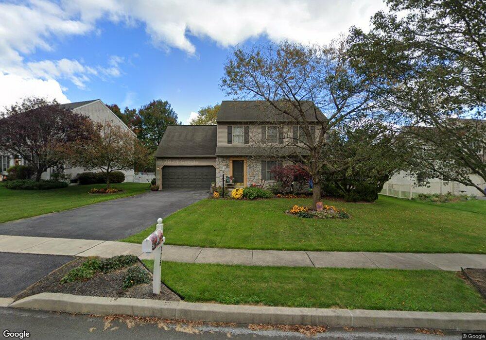
176 Macintosh Dr Palmyra, PA 17078
Estimated Value: $409,815 - $501,000
4
Beds
3
Baths
1,874
Sq Ft
$234/Sq Ft
Est. Value
About This Home
This home is located at 176 Macintosh Dr, Palmyra, PA 17078 and is currently estimated at $438,954, approximately $234 per square foot. 176 Macintosh Dr is a home located in Lebanon County with nearby schools including Palmyra Area Senior High School.
Ownership History
Date
Name
Owned For
Owner Type
Purchase Details
Closed on
Jul 8, 2011
Sold by
Hoops Sandra E
Bought by
Marencic Dolores F
Current Estimated Value
Home Financials for this Owner
Home Financials are based on the most recent Mortgage that was taken out on this home.
Original Mortgage
$176,000
Outstanding Balance
$121,596
Interest Rate
4.6%
Mortgage Type
New Conventional
Estimated Equity
$317,358
Create a Home Valuation Report for This Property
The Home Valuation Report is an in-depth analysis detailing your home's value as well as a comparison with similar homes in the area
Home Values in the Area
Average Home Value in this Area
Purchase History
| Date | Buyer | Sale Price | Title Company |
|---|---|---|---|
| Marencic Dolores F | $220,000 | None Available |
Source: Public Records
Mortgage History
| Date | Status | Borrower | Loan Amount |
|---|---|---|---|
| Open | Marencic Dolores F | $176,000 |
Source: Public Records
Tax History Compared to Growth
Tax History
| Year | Tax Paid | Tax Assessment Tax Assessment Total Assessment is a certain percentage of the fair market value that is determined by local assessors to be the total taxable value of land and additions on the property. | Land | Improvement |
|---|---|---|---|---|
| 2025 | $6,207 | $217,200 | $50,700 | $166,500 |
| 2024 | $5,483 | $217,200 | $50,700 | $166,500 |
| 2023 | $5,483 | $217,200 | $50,700 | $166,500 |
| 2022 | $5,231 | $217,200 | $50,700 | $166,500 |
| 2021 | $4,862 | $217,200 | $50,700 | $166,500 |
| 2020 | $4,801 | $217,200 | $50,700 | $166,500 |
| 2019 | $4,697 | $217,200 | $50,700 | $166,500 |
| 2018 | $4,549 | $217,200 | $50,700 | $166,500 |
| 2017 | $1,347 | $217,200 | $50,700 | $166,500 |
| 2016 | $4,271 | $217,200 | $50,700 | $166,500 |
| 2015 | -- | $217,200 | $50,700 | $166,500 |
| 2014 | -- | $217,200 | $50,700 | $166,500 |
Source: Public Records
Map
Nearby Homes
- 87 Bartlett Cir
- 75 Cortland Crossing
- 81 Cortland Crossing
- 701 N Grant St
- 631 N Lincoln St
- 934 N Lincoln St Unit 8-04
- Sloane II Plan at Melrose
- Sedona Plan at Melrose
- Ashton Plan at Melrose
- 809 N Forge Rd
- 914 N Lincoln St
- 918 N Lincoln St
- 918 N Lincoln St Unit 4-02
- 140 N Prince St
- 136 N Penn St
- 837 N Forge Rd
- 0 N Railroad St
- 133 W Spruce St
- 30 Willow St
- 421 N Railroad St
- 184 Macintosh Dr
- 168 Macintosh Dr
- 196 Macintosh Dr
- 160 Macintosh Dr
- 181 Orchard Hill Dr
- 149 Orchard Hill Dr
- 179 Macintosh Dr
- 187 Macintosh Dr
- 171 Macintosh Dr
- 195 Macintosh Dr
- 248 Macintosh Dr
- 152 Macintosh Dr
- 133 Orchard Hill Dr
- 197 Orchard Hill Dr
- 155 Macintosh Dr
- 271 Red Haven Rd
- 239 Macintosh Dr
- 15 Bartlett Cir
- 180 Orchard Hill Dr
- 144 Macintosh Dr