176 Po Box Chenoa, IL 61726
Estimated Value: $134,000 - $153,000
Studio
3
Baths
1,144
Sq Ft
$128/Sq Ft
Est. Value
About This Home
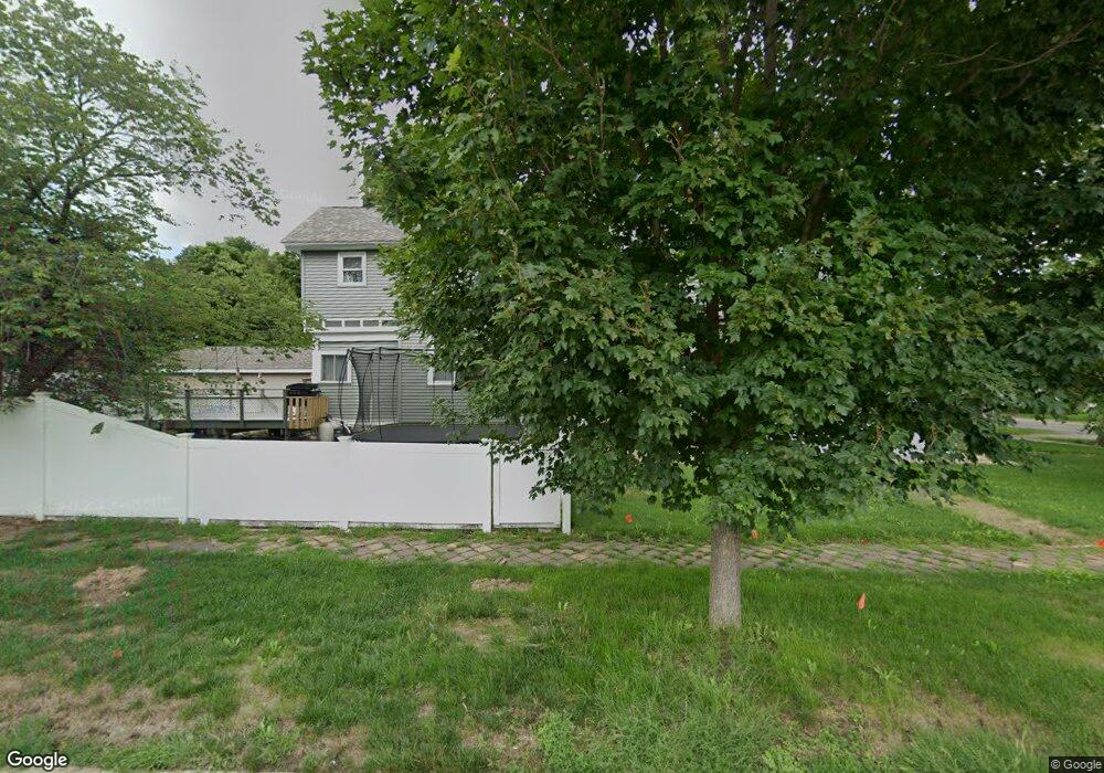
This home is located at 176 Po Box, Chenoa, IL 61726 and is currently estimated at $146,355, approximately $127 per square foot. 176 Po Box is a home located in McLean County with nearby schools including Prairie Central High School.
Ownership History
Date
Name
Owned For
Owner Type
Purchase Details
Closed on
Jul 6, 2013
Sold by
Harland Phillip D
Bought by
Wilder Aaron J and Wilder Tara R
Current Estimated Value
Home Financials for this Owner
Home Financials are based on the most recent Mortgage that was taken out on this home.
Original Mortgage
$100,500
Outstanding Balance
$77,166
Interest Rate
4.02%
Mortgage Type
USDA
Estimated Equity
$69,189
Create a Home Valuation Report for This Property
The Home Valuation Report is an in-depth analysis detailing your home's value as well as a comparison with similar homes in the area
Purchase History
| Date | Buyer | Sale Price | Title Company |
|---|---|---|---|
| Wilder Aaron J | $100,000 | None Available |
Source: Public Records
Mortgage History
| Date | Status | Borrower | Loan Amount |
|---|---|---|---|
| Open | Wilder Aaron J | $100,500 |
Source: Public Records
Tax History
| Year | Tax Paid | Tax Assessment Tax Assessment Total Assessment is a certain percentage of the fair market value that is determined by local assessors to be the total taxable value of land and additions on the property. | Land | Improvement |
|---|---|---|---|---|
| 2024 | $3,064 | $38,501 | $4,747 | $33,754 |
| 2022 | $2,615 | $33,125 | $4,084 | $29,041 |
| 2021 | $2,503 | $32,368 | $3,991 | $28,377 |
| 2020 | $2,357 | $30,096 | $3,711 | $26,385 |
| 2019 | $2,420 | $30,096 | $3,711 | $26,385 |
| 2018 | $2,563 | $29,801 | $3,675 | $26,126 |
| 2017 | $2,294 | $29,801 | $3,675 | $26,126 |
| 2016 | $2,174 | $29,801 | $3,675 | $26,126 |
| 2015 | $2,143 | $30,578 | $3,771 | $26,807 |
| 2014 | $2,133 | $30,578 | $3,771 | $26,807 |
| 2013 | -- | $25,934 | $3,812 | $22,122 |
Source: Public Records
Map
Nearby Homes
- 605 Morningside Dr
- 1017 Florence Ave
- 503 N Commercial St
- 310 N 1st Ave
- 117 Clark St
- Lot 7 Block 11 S Morehead St
- 602 N 4th Ave
- 429 W Owsley St
- 106 Champion Dr
- 10788 N 1000 East Rd
- 9898 E 1200 North Rd
- 31439 2nd St
- 33574 Oak St
- 14373 N 1700 Rd E
- 208 E 8th St
- 8735 N 2000 East Rd
- 108 E Gridley Rd
- 10735 E 1700 Rd N
- 1702 S Plum St
- 25179 N 2175 East Rd
Your Personal Tour Guide
Ask me questions while you tour the home.