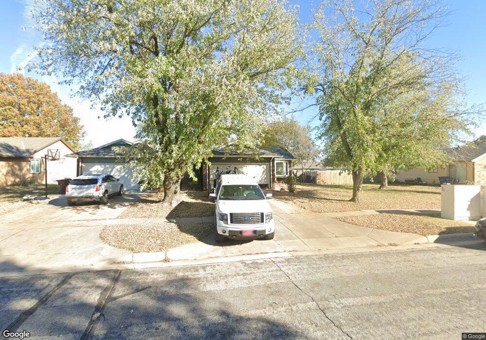
176 S Lark Ln Wichita, KS 67209
Far West Wichita NeighborhoodEstimated Value: $185,000 - $202,738
2
Beds
2
Baths
906
Sq Ft
$214/Sq Ft
Est. Value
About This Home
This home is located at 176 S Lark Ln, Wichita, KS 67209 and is currently estimated at $193,869, approximately $213 per square foot. 176 S Lark Ln is a home located in Sedgwick County with nearby schools including Peterson Elementary School, Wilbur Middle School, and Wichita Northwest High School.
Ownership History
Date
Name
Owned For
Owner Type
Purchase Details
Closed on
Jul 29, 2020
Sold by
Gooden William Eugene and Gooden Nancy Marie
Bought by
Winter Mark D and Winter Cynthia A
Current Estimated Value
Home Financials for this Owner
Home Financials are based on the most recent Mortgage that was taken out on this home.
Original Mortgage
$76,000
Outstanding Balance
$54,084
Interest Rate
3.1%
Mortgage Type
New Conventional
Estimated Equity
$139,785
Purchase Details
Closed on
Nov 16, 2017
Sold by
Barnett Nancy Marie and Gooden Nancy Marie
Bought by
Gooden William Neugene and Gooden Nancy Marie
Create a Home Valuation Report for This Property
The Home Valuation Report is an in-depth analysis detailing your home's value as well as a comparison with similar homes in the area
Home Values in the Area
Average Home Value in this Area
Purchase History
| Date | Buyer | Sale Price | Title Company |
|---|---|---|---|
| Winter Mark D | -- | Security 1St Title Llc | |
| Gooden William Neugene | -- | None Available |
Source: Public Records
Mortgage History
| Date | Status | Borrower | Loan Amount |
|---|---|---|---|
| Open | Winter Mark D | $76,000 |
Source: Public Records
Tax History Compared to Growth
Tax History
| Year | Tax Paid | Tax Assessment Tax Assessment Total Assessment is a certain percentage of the fair market value that is determined by local assessors to be the total taxable value of land and additions on the property. | Land | Improvement |
|---|---|---|---|---|
| 2025 | $1,990 | $19,804 | $7,142 | $12,662 |
| 2023 | $1,990 | $17,308 | $5,854 | $11,454 |
| 2022 | $1,606 | $14,675 | $5,532 | $9,143 |
| 2021 | $1,539 | $13,582 | $3,232 | $10,350 |
| 2020 | $1,456 | $12,812 | $3,232 | $9,580 |
| 2019 | $1,387 | $12,202 | $3,232 | $8,970 |
| 2018 | $1,335 | $11,730 | $3,151 | $8,579 |
| 2017 | $1,270 | $0 | $0 | $0 |
| 2016 | $1,268 | $0 | $0 | $0 |
| 2015 | -- | $0 | $0 | $0 |
| 2014 | -- | $0 | $0 | $0 |
Source: Public Records
Map
Nearby Homes
- 110 N Prescott St
- 238 N Mesa St
- 373 S Covington St
- 11112 W Rolling Hills Dr
- 11508 W Douglas Ave
- 236 S Parkridge St
- 209 N Milstead St
- 410 N David St
- 1300 S Fieldcrest St
- 126 S Coach House Rd
- 11005 W Taylor Cir
- 324 N Fairway Ave
- 115 N Westfield St
- 12018 Meribeau Ct
- 11218 W Taylor St
- 31 W Rolling Hills Ct
- 133 N Arcadia St
- 9109 W Douglas Ave
- 9620 W Tee Ln
- 11110 W Central Ave