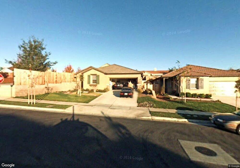
1760 Brahma St Paso Robles, CA 93446
Estimated Value: $730,010 - $805,000
3
Beds
2
Baths
1,763
Sq Ft
$437/Sq Ft
Est. Value
About This Home
This home is located at 1760 Brahma St, Paso Robles, CA 93446 and is currently estimated at $770,753, approximately $437 per square foot. 1760 Brahma St is a home located in San Luis Obispo County with nearby schools including Pat Butler Elementary School, George H. Flamson Middle School, and Paso Robles High School.
Ownership History
Date
Name
Owned For
Owner Type
Purchase Details
Closed on
Dec 4, 2013
Sold by
Hughes Magdaline Mai and Tran Thuy
Bought by
Hughes Magdaline Mai and Hughes Ronald A
Current Estimated Value
Purchase Details
Closed on
Feb 11, 2006
Sold by
Centex Homes
Bought by
Le Magdaline and Tran Thuy
Home Financials for this Owner
Home Financials are based on the most recent Mortgage that was taken out on this home.
Original Mortgage
$329,000
Outstanding Balance
$184,665
Interest Rate
6.15%
Mortgage Type
Fannie Mae Freddie Mac
Estimated Equity
$586,088
Create a Home Valuation Report for This Property
The Home Valuation Report is an in-depth analysis detailing your home's value as well as a comparison with similar homes in the area
Purchase History
| Date | Buyer | Sale Price | Title Company |
|---|---|---|---|
| Hughes Magdaline Mai | -- | Lsi | |
| Le Magdaline | $494,000 | Commerce Title Company |
Source: Public Records
Mortgage History
| Date | Status | Borrower | Loan Amount |
|---|---|---|---|
| Open | Le Magdaline | $329,000 |
Source: Public Records
Tax History Compared to Growth
Tax History
| Year | Tax Paid | Tax Assessment Tax Assessment Total Assessment is a certain percentage of the fair market value that is determined by local assessors to be the total taxable value of land and additions on the property. | Land | Improvement |
|---|---|---|---|---|
| 2025 | $7,723 | $579,708 | $273,959 | $305,749 |
| 2024 | $7,581 | $568,342 | $268,588 | $299,754 |
| 2023 | $7,581 | $557,199 | $263,322 | $293,877 |
| 2022 | $7,395 | $546,274 | $258,159 | $288,115 |
| 2021 | $7,169 | $535,564 | $253,098 | $282,466 |
| 2020 | $7,048 | $530,073 | $250,503 | $279,570 |
| 2019 | $6,932 | $519,681 | $245,592 | $274,089 |
| 2018 | $6,086 | $445,000 | $205,000 | $240,000 |
| 2017 | $5,691 | $430,000 | $200,000 | $230,000 |
| 2016 | $5,565 | $420,000 | $205,000 | $215,000 |
| 2015 | $5,768 | $399,000 | $190,000 | $209,000 |
| 2014 | -- | $395,000 | $185,000 | $210,000 |
Source: Public Records
Map
Nearby Homes
- 470 Kenton Ct
- 789 Oxen St
- 1639 Wade Dr
- 795 Angus St
- 904 Spyglass Ct
- 915 Moran Ct
- 912 Wade Dr
- 170 Sandcove Ln
- 829 Saint Andrews Cir
- 940 Austin Ct
- 911 Saint Ann Dr
- 419 Cherokee Ct
- 128 Flag Way Unit A
- 1036 Samantha Dr
- 506 Navajo Ave
- 2097 Fallbrook Ct
- 1410 Fire Rock Loop
- 1103 Patricia Ln
- 1107 Patricia Ln
- 1320 Fire Rock Loop
- 1758 Brahma St
- 1761 Miller Ct
- 1756 Brahma St
- 1759 Miller Ct
- 1757 Miller Ct
- 429 Kenton Ct
- 1765 Miller Ct
- 1754 Brahma St
- 1760 Goodman Ct
- 431 Kenton Ct Unit 10
- 431 Kenton Ct
- 1755 Miller Ct
- 1752 Brahma St
- 1767 Miller Ct
- 1761 Goodman Ct
- 1764 Miller Ct
- 433 Kenton Ct Unit 16
- 1760 Miller Ct
- 1758 Miller Ct
- 430 Kenton Ct