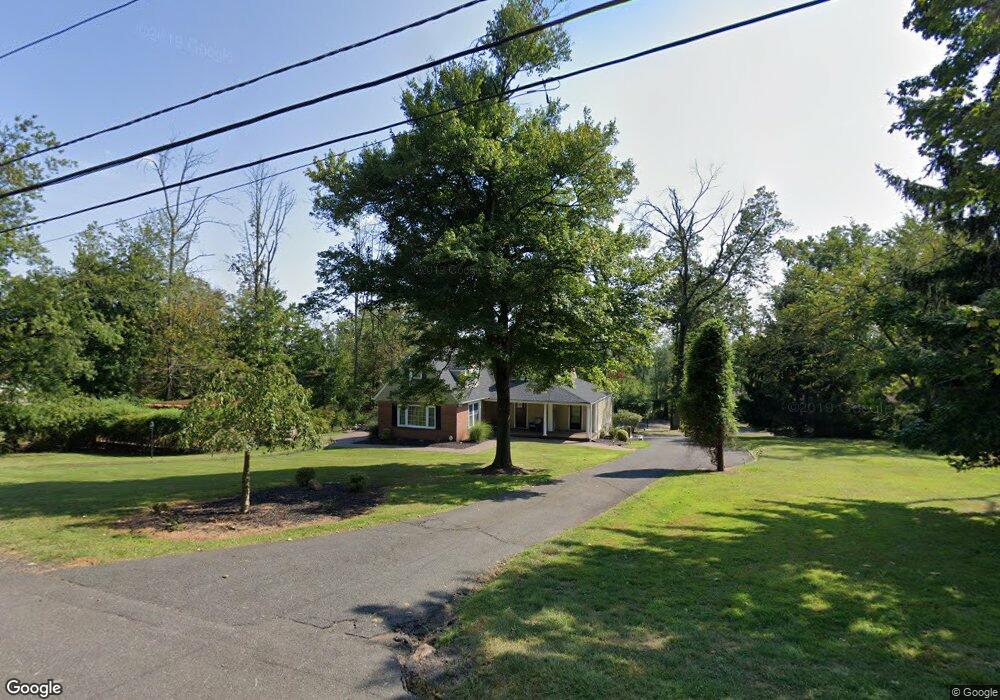
1760 Middlebrook Rd Bound Brook, NJ 08805
Estimated Value: $837,747 - $1,035,000
5
Beds
4
Baths
2,900
Sq Ft
$315/Sq Ft
Est. Value
About This Home
This home is located at 1760 Middlebrook Rd, Bound Brook, NJ 08805 and is currently estimated at $912,937, approximately $314 per square foot. 1760 Middlebrook Rd is a home located in Somerset County with nearby schools including Crim Primary School, Bridgewater-Raritan Middle School, and Hillside Intermediate School.
Ownership History
Date
Name
Owned For
Owner Type
Purchase Details
Closed on
Oct 31, 2011
Sold by
Kemper John M
Bought by
Carty Kevin T and Carty Amanda J
Current Estimated Value
Home Financials for this Owner
Home Financials are based on the most recent Mortgage that was taken out on this home.
Original Mortgage
$407,403
Outstanding Balance
$275,789
Interest Rate
3.87%
Mortgage Type
FHA
Estimated Equity
$637,148
Create a Home Valuation Report for This Property
The Home Valuation Report is an in-depth analysis detailing your home's value as well as a comparison with similar homes in the area
Home Values in the Area
Average Home Value in this Area
Purchase History
| Date | Buyer | Sale Price | Title Company |
|---|---|---|---|
| Carty Kevin T | $418,000 | None Available |
Source: Public Records
Mortgage History
| Date | Status | Borrower | Loan Amount |
|---|---|---|---|
| Open | Carty Kevin T | $407,403 |
Source: Public Records
Tax History
| Year | Tax Paid | Tax Assessment Tax Assessment Total Assessment is a certain percentage of the fair market value that is determined by local assessors to be the total taxable value of land and additions on the property. | Land | Improvement |
|---|---|---|---|---|
| 2025 | $13,587 | $700,800 | $353,200 | $347,600 |
| 2024 | $13,587 | $697,500 | $353,200 | $344,300 |
| 2023 | $12,106 | $610,200 | $353,200 | $257,000 |
| 2022 | $11,854 | $574,900 | $353,200 | $221,700 |
| 2021 | $11,611 | $562,700 | $353,200 | $209,500 |
| 2020 | $11,775 | $559,900 | $353,200 | $206,700 |
| 2019 | $11,611 | $546,900 | $353,200 | $193,700 |
| 2018 | $11,497 | $542,800 | $353,200 | $189,600 |
| 2017 | $11,251 | $530,700 | $353,200 | $177,500 |
| 2016 | $11,066 | $530,000 | $353,200 | $176,800 |
| 2015 | $10,704 | $512,900 | $353,200 | $159,700 |
| 2014 | $10,656 | $502,900 | $353,200 | $149,700 |
Source: Public Records
Map
Nearby Homes
- 1771 Cedar Crest Rd
- 1756 Middlebrook Rd
- 1770 Cedar Crest Rd
- 1760 Cedar Crest Rd
- 1750 Middlebrook Rd
- 1750 Cedar Crest Rd
- 1764 Middlebrook Rd
- 73 Shady Ln
- 71 Shady Ln
- 69 Shady Ln
- 1740 Cedar Crest Rd
- 67 Shady Ln
- 65 Shady Ln
- 63 Shady Ln
- 1766 Middlebrook Rd
- 62 Shady Ln
- 1791 Middlebrook Rd
- 674 N Meadow Dr
- 1741 Cedar Crest Rd
- 61 Shady Ln
Your Personal Tour Guide
Ask me questions while you tour the home.