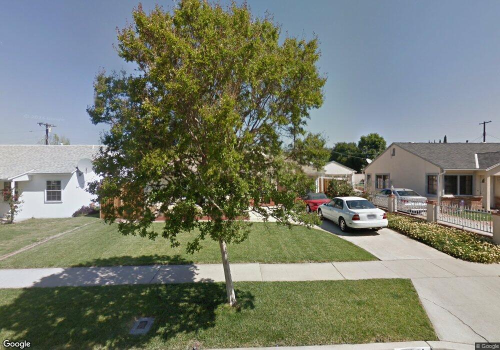
17601 Baltar St Northridge, CA 91325
Estimated Value: $694,000 - $821,000
3
Beds
2
Baths
1,116
Sq Ft
$693/Sq Ft
Est. Value
About This Home
This home is located at 17601 Baltar St, Northridge, CA 91325 and is currently estimated at $773,644, approximately $693 per square foot. 17601 Baltar St is a home located in Los Angeles County with nearby schools including Lorne Street Elementary, Northridge Middle School, and Northridge Academy High.
Ownership History
Date
Name
Owned For
Owner Type
Purchase Details
Closed on
May 3, 2011
Sold by
Burns Laurel and The Laurel Burns Declaration O
Bought by
Shapiro Kevin and Shapiro Cynthia
Current Estimated Value
Home Financials for this Owner
Home Financials are based on the most recent Mortgage that was taken out on this home.
Original Mortgage
$260,000
Outstanding Balance
$179,266
Interest Rate
4.71%
Mortgage Type
New Conventional
Estimated Equity
$594,378
Purchase Details
Closed on
Jul 11, 2007
Sold by
Burns Laurel
Bought by
Burns Laurel and Laurel Burns Declaration Of Trust
Create a Home Valuation Report for This Property
The Home Valuation Report is an in-depth analysis detailing your home's value as well as a comparison with similar homes in the area
Home Values in the Area
Average Home Value in this Area
Purchase History
We collect this data history from publicly available records. To have your information removed, we recommend requesting removal directly through your county’s website.
| Date | Buyer | Sale Price | Title Company |
|---|---|---|---|
| Shapiro Kevin | $325,000 | Fatcola | |
| Burns Laurel | -- | None Available |
Source: Public Records
Mortgage History
We collect this data history from publicly available records. To have your information removed, we recommend requesting removal directly through your county’s website.
| Date | Status | Borrower | Loan Amount |
|---|---|---|---|
| Open | Shapiro Kevin | $260,000 |
Source: Public Records
Tax History
| Year | Tax Paid | Tax Assessment Tax Assessment Total Assessment is a certain percentage of the fair market value that is determined by local assessors to be the total taxable value of land and additions on the property. | Land | Improvement |
|---|---|---|---|---|
| 2025 | $5,104 | $416,368 | $275,957 | $140,411 |
| 2024 | $5,061 | $408,205 | $270,547 | $137,658 |
| 2023 | $4,963 | $400,202 | $265,243 | $134,959 |
| 2022 | $4,733 | $392,356 | $260,043 | $132,313 |
| 2021 | $4,672 | $384,664 | $254,945 | $129,719 |
| 2019 | $4,532 | $373,256 | $247,384 | $125,872 |
| 2018 | $4,442 | $365,938 | $242,534 | $123,404 |
| 2016 | $4,237 | $351,730 | $233,117 | $118,613 |
| 2015 | $4,174 | $346,448 | $229,616 | $116,832 |
| 2014 | $4,193 | $339,663 | $225,119 | $114,544 |
Source: Public Records
Map
Nearby Homes
- 7862 Jellico Ave
- 17371 Willard St
- 8207 Yarmouth Ave
- 8009 Aldea Ave
- 17545 Community St
- 17355 Lemac St
- 7960 Aldea Ave
- 8400 White Oak Ave
- 17448 Keswick St
- 17822 Community St
- 7630 Jellico Ave
- 7741 Zelzah Ave
- 7909 Aldea Ave
- 7714 Lasaine Ave
- 7848 Chastain Ave
- 17145 Strathern St
- 17920 Schoenborn St
- 17926 Schoenborn St
- 17945 Roscoe Blvd
- 17209 Stagg St
- 17557 Baltar St
- 17607 Baltar St
- 17551 Baltar St
- 17600 Lorne St
- 17613 Baltar St
- 17606 Lorne St
- 17556 Lorne St
- 17612 Lorne St
- 17550 Lorne St
- 17545 Baltar St
- 17619 Baltar St
- 17600 Baltar St
- 17556 Baltar St
- 17606 Baltar St
- 17608 Baltar St
- 17544 Lorne St
- 17618 Lorne St
- 17550 Baltar St
- 17612 Baltar St
- 17541 Baltar St
Your Personal Tour Guide
Ask me questions while you tour the home.