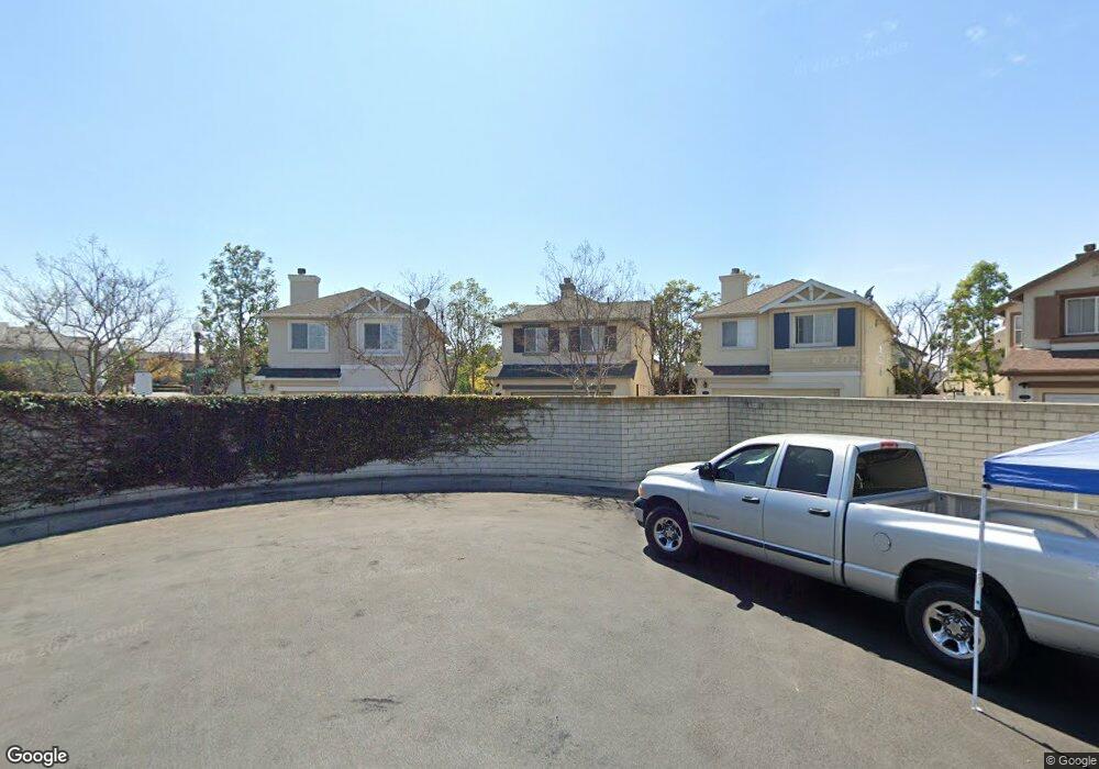
17611 Chestnut Dr Carson, CA 90746
Estimated Value: $852,619 - $860,000
About This Home
This home is located at 17611 Chestnut Dr, Carson, CA 90746 and is currently estimated at $856,905, approximately $472 per square foot. 17611 Chestnut Dr is a home located in Los Angeles County with nearby schools including Ralph Bunche Elementary School, Walton Middle School, and Compton High School.
Ownership History
We collect this data history from publicly available records. To have your information removed, we recommend requesting removal directly through your county’s website.
Purchase Details
Purchase Details
Home Financials for this Owner
Home Financials are based on the most recent Mortgage that was taken out on this home.Home Values in the Area
Average Home Value in this Area
Purchase History
We collect this data history from publicly available records. To have your information removed, we recommend requesting removal directly through your county’s website.
| Date | Buyer | Sale Price | Title Company |
|---|---|---|---|
| -- | None Listed On Document | ||
| $279,000 | Continental Title |
Mortgage History
We collect this data history from publicly available records. To have your information removed, we recommend requesting removal directly through your county’s website.
| Date | Status | Borrower | Loan Amount |
|---|---|---|---|
| Previous Owner | $265,000 |
Tax History
We collect this data history from publicly available records. To have your information removed, we recommend requesting removal directly through your county’s website.
| Year | Tax Paid | Tax Assessment Tax Assessment Total Assessment is a certain percentage of the fair market value that is determined by local assessors to be the total taxable value of land and additions on the property. | Land | Improvement |
|---|---|---|---|---|
| 2025 | $5,810 | $428,791 | $144,463 | $284,328 |
| 2024 | $5,656 | $420,384 | $141,631 | $278,753 |
| 2023 | $5,575 | $412,142 | $138,854 | $273,288 |
| 2022 | $5,168 | $404,062 | $136,132 | $267,930 |
| 2021 | $5,262 | $396,140 | $133,463 | $262,677 |
| 2019 | $5,090 | $384,392 | $129,505 | $254,887 |
| 2018 | $4,981 | $376,856 | $126,966 | $249,890 |
| 2016 | $4,705 | $362,225 | $122,037 | $240,188 |
| 2015 | $4,555 | $356,785 | $120,204 | $236,581 |
| 2014 | $4,462 | $349,797 | $117,850 | $231,947 |
Map
- 1253 Cypress Cir
- 1404 Wingfoot
- 17828 Woodbine Ct
- 1009 Bayberry Ct
- 900 E Sagebank St
- 814 E Sandpoint Ct
- 803 E Victoria St Unit 138
- 153 S Iris
- 17700 Avalon Blvd Unit 40
- 17700 Avalon Blvd Unit SP363
- 17700 S Avalon Blvd Unit 156
- 17700 S Avalon Blvd Unit 326
- 1609 W 166th St
- 17701 S Avalon Blvd Unit 36
- 19112 Hillford Ave
- 1504 S Haskins Ave
- 1415 S Mckinley Ave
- 18815 Pepperdine Dr
- 1313 S Broadacres Ave
- 19202 Campaign Dr
- 17615 Chestnut Dr
- 17607 Chestnut Dr
- 17614 Holly Dr
- 17610 Holly Dr
- 17603 Chestnut Dr
- 17606 Holly Dr
- 1240 Magnolia Dr
- 17602 Holly Dr
- 17625 Amantha Ave
- 17625 Mulberry Dr
- 17623 Amantha Ave
- 1246 Magnolia Dr
- 17622 Mulberry Dr
- 1251 Date Palm Dr
- 17631 Mulberry Dr
- 17609 Holly Dr
- 17615 Holly Dr
- 17605 Holly Dr
- 1255 Date Palm Dr
- 17619 Amantha Ave
Ask me questions while you tour the home.