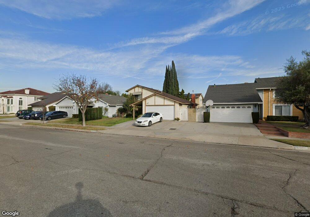
17618 Martha Ave Cerritos, CA 90703
Estimated Value: $1,049,578 - $1,205,000
3
Beds
2
Baths
1,645
Sq Ft
$706/Sq Ft
Est. Value
About This Home
This home is located at 17618 Martha Ave, Cerritos, CA 90703 and is currently estimated at $1,160,895, approximately $705 per square foot. 17618 Martha Ave is a home located in Los Angeles County with nearby schools including Cecil B. Stowers Elementary School, Carmenita Middle School, and Cerritos High School.
Ownership History
Date
Name
Owned For
Owner Type
Purchase Details
Closed on
Jan 23, 1997
Sold by
Fai Kenny and Fai Eva Wong
Bought by
Kim Ho Nam
Current Estimated Value
Home Financials for this Owner
Home Financials are based on the most recent Mortgage that was taken out on this home.
Original Mortgage
$180,000
Interest Rate
7.85%
Purchase Details
Closed on
Jun 12, 1995
Sold by
Liao Jerry H Y and Liao Jerry Hy
Bought by
Fai Kenny
Home Financials for this Owner
Home Financials are based on the most recent Mortgage that was taken out on this home.
Original Mortgage
$176,800
Interest Rate
7.62%
Create a Home Valuation Report for This Property
The Home Valuation Report is an in-depth analysis detailing your home's value as well as a comparison with similar homes in the area
Home Values in the Area
Average Home Value in this Area
Purchase History
| Date | Buyer | Sale Price | Title Company |
|---|---|---|---|
| Kim Ho Nam | $242,500 | United Title Company | |
| Fai Kenny | $221,000 | Landsafe Title |
Source: Public Records
Mortgage History
| Date | Status | Borrower | Loan Amount |
|---|---|---|---|
| Closed | Kim Ho Nam | $180,000 | |
| Previous Owner | Fai Kenny | $176,800 |
Source: Public Records
Tax History
| Year | Tax Paid | Tax Assessment Tax Assessment Total Assessment is a certain percentage of the fair market value that is determined by local assessors to be the total taxable value of land and additions on the property. | Land | Improvement |
|---|---|---|---|---|
| 2025 | $4,921 | $394,118 | $166,113 | $228,005 |
| 2024 | $4,921 | $386,391 | $162,856 | $223,535 |
| 2023 | $4,766 | $378,815 | $159,663 | $219,152 |
| 2022 | $4,693 | $371,388 | $156,533 | $214,855 |
| 2021 | $4,581 | $364,107 | $153,464 | $210,643 |
| 2019 | $4,477 | $353,310 | $148,913 | $204,397 |
| 2018 | $4,126 | $346,384 | $145,994 | $200,390 |
| 2016 | $3,955 | $332,935 | $140,326 | $192,609 |
| 2015 | $3,906 | $327,935 | $138,219 | $189,716 |
| 2014 | $3,832 | $321,512 | $135,512 | $186,000 |
Source: Public Records
Map
Nearby Homes
- 13202 Carolyn St
- 13010 Artesia Blvd
- 13626 Aclare Ln
- 17400 Laurelbrook Ct
- 17405 Jasmine Way
- 13506 Darvalle St
- 18727 Holmes Ave
- 18622 Kamstra Ave
- 16602 Yvette Way
- 17422 Vierra Ave
- 16604 Cobblestone Ct
- 12703 Park St
- 12524 Bryce Cir
- 12525 Semora St
- 16918 Chaparral Ave Unit 27
- 16902 Chaparral Ave
- 16630 Shenandoah Ave
- 16818 Chaparral Ave
- 13026 San Salvador Place
- 12410 Rancho Vista Dr
- 17612 Martha Ave
- 17624 Martha Ave
- 13313 Semora Place
- 17608 Martha Ave
- 17702 Martha Ave
- 13323 Semora Place
- 13267 Semora Place
- 13326 Yucatan Place
- 17602 Martha Ave
- 17708 Martha Ave
- 13312 Semora Place
- 17525 Sonora Ave
- 13266 Destino Place
- 13325 Semora Place
- 13261 Semora Place
- 13266 Semora Place
- 17522 Martha Ave
- 17710 Martha Ave
- 13322 Semora Place
- 13330 Yucatan Place
Your Personal Tour Guide
Ask me questions while you tour the home.