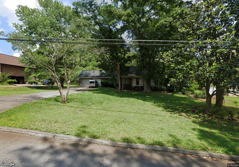
1762 Beauregard Dr SW Unit 2 Lilburn, GA 30047
Estimated Value: $307,000 - $377,000
3
Beds
2
Baths
1,383
Sq Ft
$241/Sq Ft
Est. Value
About This Home
This home is located at 1762 Beauregard Dr SW Unit 2, Lilburn, GA 30047 and is currently estimated at $333,663, approximately $241 per square foot. 1762 Beauregard Dr SW Unit 2 is a home located in Gwinnett County with nearby schools including Head Elementary School, Five Forks Middle School, and Brookwood High School.
Ownership History
Date
Name
Owned For
Owner Type
Purchase Details
Closed on
Apr 26, 2002
Sold by
Reitz Jerome R and Reitz Rosa
Bought by
Sheldon Victoria K and Sheldon Sean T
Current Estimated Value
Home Financials for this Owner
Home Financials are based on the most recent Mortgage that was taken out on this home.
Original Mortgage
$141,500
Outstanding Balance
$59,523
Interest Rate
7.16%
Mortgage Type
New Conventional
Estimated Equity
$274,140
Create a Home Valuation Report for This Property
The Home Valuation Report is an in-depth analysis detailing your home's value as well as a comparison with similar homes in the area
Home Values in the Area
Average Home Value in this Area
Purchase History
| Date | Buyer | Sale Price | Title Company |
|---|---|---|---|
| Sheldon Victoria K | $146,000 | -- |
Source: Public Records
Mortgage History
| Date | Status | Borrower | Loan Amount |
|---|---|---|---|
| Open | Sheldon Victoria K | $141,500 |
Source: Public Records
Tax History Compared to Growth
Tax History
| Year | Tax Paid | Tax Assessment Tax Assessment Total Assessment is a certain percentage of the fair market value that is determined by local assessors to be the total taxable value of land and additions on the property. | Land | Improvement |
|---|---|---|---|---|
| 2025 | -- | $111,720 | $26,120 | $85,600 |
| 2024 | -- | $101,920 | $26,120 | $75,800 |
| 2023 | $2,739 | $102,960 | $26,400 | $76,560 |
| 2022 | $0 | $92,320 | $26,400 | $65,920 |
| 2021 | $2,407 | $64,200 | $16,800 | $47,400 |
| 2020 | $2,287 | $64,200 | $16,800 | $47,400 |
| 2019 | $2,287 | $61,600 | $16,800 | $44,800 |
| 2018 | $2,131 | $56,960 | $14,800 | $42,160 |
| 2016 | $1,871 | $48,920 | $14,800 | $34,120 |
| 2015 | $1,705 | $43,800 | $11,200 | $32,600 |
| 2014 | $1,712 | $43,800 | $11,200 | $32,600 |
Source: Public Records
Map
Nearby Homes
- 1732 Beauregard Dr SW
- 4107 Signal Ridge SW
- 1725 Spindle Top Ct SW
- 1640 Killian Hill Rd SW
- 4166 Signal Ridge SW
- 4171 Whispering Forest Ct SW
- 3868 Buckland Dr SW
- 4353 Pond Edge Rd
- 4268 Rocky Ledge Way
- 0 River Club Dr Unit 7650571
- 1535 Pathfinder Way SW Unit 1
- 4000 Embassy Way
- 2047 Cliffton Terrace
- 1905 Embassy Walk Ln
- 3725 Hunting Ridge Dr SW
- 1697 Paxton Dr SW
- 1776 Bear Cave SW
- 1752 Beauregard Dr SW Unit 2
- 4037 Signal Ridge SW Unit 1
- 4047 Signal Ridge SW
- 1759 Killian Hill Rd SW
- 1759 Killian Hill Rd SW Unit 1759
- 1759 Killian Hill Rd SW
- 1742 Beauregard Dr SW Unit 2
- 4027 Signal Ridge SW
- 1769 Killian Hill Rd SW
- 4070 Indian Trace SW
- 1749 Killian Hill Rd SW
- 4067 Signal Ridge SW
- 1739 Killian Hill Rd SW
- 4074 Indian Trace SW
- 1741 Beauregard Dr SW
- 4077 Signal Ridge SW
- 4046 Signal Ridge SW
- 4056 Signal Ridge SW Unit 1
- 0 Beauregard Dr SW Unit 7472806
- 0 Beauregard Dr SW Unit 3173489