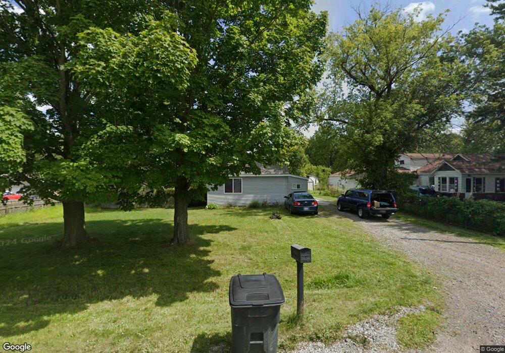
1762 Omar Rd Kimball, MI 48074
Estimated Value: $159,000 - $177,000
2
Beds
1
Bath
1,080
Sq Ft
$157/Sq Ft
Est. Value
About This Home
This home is located at 1762 Omar Rd, Kimball, MI 48074 and is currently estimated at $169,410, approximately $156 per square foot. 1762 Omar Rd is a home located in St. Clair County with nearby schools including Kimball Elementary School, Central Middle School, and Port Huron High School.
Ownership History
Date
Name
Owned For
Owner Type
Purchase Details
Closed on
Aug 6, 2012
Sold by
Price Rodrick and Price Rod
Bought by
Price David
Current Estimated Value
Purchase Details
Closed on
Oct 10, 2008
Sold by
Price David Warren
Bought by
Price Rod
Purchase Details
Closed on
Aug 28, 2006
Sold by
Saint Clair County Treasurer
Bought by
Price David W
Create a Home Valuation Report for This Property
The Home Valuation Report is an in-depth analysis detailing your home's value as well as a comparison with similar homes in the area
Home Values in the Area
Average Home Value in this Area
Purchase History
| Date | Buyer | Sale Price | Title Company |
|---|---|---|---|
| Price David | -- | None Available | |
| Price Rod | -- | Lawyers Title | |
| Price David W | $25,000 | None Available |
Source: Public Records
Tax History
| Year | Tax Paid | Tax Assessment Tax Assessment Total Assessment is a certain percentage of the fair market value that is determined by local assessors to be the total taxable value of land and additions on the property. | Land | Improvement |
|---|---|---|---|---|
| 2025 | $1,507 | $71,400 | $0 | $0 |
| 2024 | $1,462 | $67,400 | $0 | $0 |
| 2023 | $1,368 | $64,600 | $0 | $0 |
| 2022 | $1,877 | $54,600 | $0 | $0 |
| 2020 | $1,767 | $51,200 | $51,200 | $0 |
| 2019 | $1,738 | $43,500 | $0 | $0 |
| 2018 | $1,679 | $38,600 | $0 | $0 |
| 2017 | $1,647 | $39,700 | $0 | $0 |
| 2016 | $1,146 | $39,700 | $0 | $0 |
| 2015 | -- | $38,700 | $38,700 | $0 |
| 2014 | -- | $35,000 | $35,000 | $0 |
| 2013 | -- | $31,000 | $0 | $0 |
Source: Public Records
Map
Nearby Homes
- 1786 Omar Rd
- V/L Allen
- 1604 Allen Rd
- 1405 Range Rd
- 00 Range Rd
- 00 Howard Rd
- 0000 Range Rd
- 0 Allen Rd Unit 20250008597
- 0 Allen Rd Unit 20250008612
- 1091 Allen Rd
- 0 Wall Rd Unit 50185999
- 1948 Meadowlark Ln
- 1906 Morningstar Ave
- 0 Ravenswood Rd Unit 20251017048
- 0000 Ravenswood Rd
- 0 Lapeer Rd Unit 50137357
- 5117 Ravenswood Rd
- 265 Westbrook Ct
- 0 Wadhams Rd Unit 50155021
- 174 Meadow Ln
Your Personal Tour Guide
Ask me questions while you tour the home.