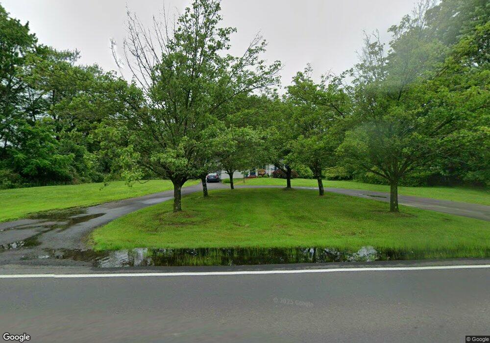
1762 Swamp Rd Furlong, PA 18925
Estimated Value: $580,000 - $683,000
2
Beds
2
Baths
2,144
Sq Ft
$294/Sq Ft
Est. Value
About This Home
This home is located at 1762 Swamp Rd, Furlong, PA 18925 and is currently estimated at $630,085, approximately $293 per square foot. 1762 Swamp Rd is a home located in Bucks County with nearby schools including Bridge Valley Elementary School, Holicong Middle School, and Central Bucks High School - East.
Ownership History
Date
Name
Owned For
Owner Type
Purchase Details
Closed on
Jan 7, 2005
Sold by
Colello Terri L and Simon Michael L
Bought by
Simon Michael L and Simon Theresa L
Current Estimated Value
Home Financials for this Owner
Home Financials are based on the most recent Mortgage that was taken out on this home.
Original Mortgage
$311,000
Interest Rate
1%
Mortgage Type
New Conventional
Create a Home Valuation Report for This Property
The Home Valuation Report is an in-depth analysis detailing your home's value as well as a comparison with similar homes in the area
Home Values in the Area
Average Home Value in this Area
Purchase History
| Date | Buyer | Sale Price | Title Company |
|---|---|---|---|
| Simon Michael L | -- | Lenders Edge Title Agency |
Source: Public Records
Mortgage History
| Date | Status | Borrower | Loan Amount |
|---|---|---|---|
| Closed | Simon Michael L | $311,000 |
Source: Public Records
Tax History Compared to Growth
Tax History
| Year | Tax Paid | Tax Assessment Tax Assessment Total Assessment is a certain percentage of the fair market value that is determined by local assessors to be the total taxable value of land and additions on the property. | Land | Improvement |
|---|---|---|---|---|
| 2025 | $4,754 | $29,200 | $10,920 | $18,280 |
| 2024 | $4,754 | $29,200 | $10,920 | $18,280 |
| 2023 | $4,593 | $29,200 | $10,920 | $18,280 |
| 2022 | $4,538 | $29,200 | $10,920 | $18,280 |
| 2021 | $4,484 | $29,200 | $10,920 | $18,280 |
| 2020 | $4,484 | $29,200 | $10,920 | $18,280 |
| 2019 | $4,454 | $29,200 | $10,920 | $18,280 |
| 2018 | $4,454 | $29,200 | $10,920 | $18,280 |
| 2017 | $4,418 | $29,200 | $10,920 | $18,280 |
| 2016 | $4,462 | $29,200 | $10,920 | $18,280 |
| 2015 | -- | $29,200 | $10,920 | $18,280 |
| 2014 | -- | $29,200 | $10,920 | $18,280 |
Source: Public Records
Map
Nearby Homes
- 0 Old York Rd Unit PABU2103356
- 2080 Bedfordshire Rd
- 2209 Swamp Rd
- 1515 Sugar Bottom Rd
- 1948 Forest Grove Rd
- 2113 Redbud Ln
- 3017 Dorchester St E Unit 125
- 108 Eagle Ct Unit 105
- 2310 S Whittmore St
- 3657 Powder Horn Dr
- 3772 Powder Horn Dr
- 2807 Mountain Laurel Dr
- 4549 Lower Mountain Rd
- 2443 Sugar Bottom Rd
- 547 Mccarty Dr
- 1501 Deborah Ct Unit 2102
- 1834 Augusta Dr
- 106 Saddle Dr
- lot #3 next to 3739 York Rd
- 1530 Spruce Ct
- 3273 Lower Mountain Rd
- 3281 Lower Mountain Rd
- 1795 Swamp Rd
- 3296 Lower Mountain Rd
- 1720 Swamp Rd
- 1817 Swamp Rd
- 3266 Lower Mountain Rd
- 3241 Lower Mountain Rd
- 3231 Lower Mountain Rd
- 1690 Swamp Rd
- 3215 Lower Mountain Rd
- 1880 Swamp Rd
- 1861 Swamp Rd
- 1680 Swamp Rd
- 3238 Lower Mountain Rd
- 3183 Lower Mountain Rd
- 1580 Franklin Dr
- 1592 Franklin Dr
- 1612 Franklin Dr
- 3195 Lower Mountain Rd