17626 Shady Ln Fredericktown, OH 43019
Estimated Value: $724,799 - $742,000
3
Beds
4
Baths
2,896
Sq Ft
$253/Sq Ft
Est. Value
About This Home
This home is located at 17626 Shady Ln, Fredericktown, OH 43019 and is currently estimated at $733,400, approximately $253 per square foot. 17626 Shady Ln is a home located in Knox County with nearby schools including Mount Vernon High School.
Ownership History
Date
Name
Owned For
Owner Type
Purchase Details
Closed on
Jul 18, 2024
Sold by
Poole Timothy Dale and Poole Brenda Jean
Bought by
Poole Family Trust and Poole
Current Estimated Value
Purchase Details
Closed on
Oct 29, 1991
Sold by
Borntrager Abraham J and Borntrager Ne
Bought by
Poole Timothy Dale and Brenda Jean
Create a Home Valuation Report for This Property
The Home Valuation Report is an in-depth analysis detailing your home's value as well as a comparison with similar homes in the area
Home Values in the Area
Average Home Value in this Area
Purchase History
| Date | Buyer | Sale Price | Title Company |
|---|---|---|---|
| Poole Family Trust | -- | None Listed On Document | |
| Poole Timothy Dale | $12,000 | -- |
Source: Public Records
Tax History Compared to Growth
Tax History
| Year | Tax Paid | Tax Assessment Tax Assessment Total Assessment is a certain percentage of the fair market value that is determined by local assessors to be the total taxable value of land and additions on the property. | Land | Improvement |
|---|---|---|---|---|
| 2024 | $7,791 | $194,000 | $38,550 | $155,450 |
| 2023 | $7,791 | $194,000 | $38,550 | $155,450 |
| 2022 | $5,897 | $133,800 | $26,590 | $107,210 |
| 2021 | $5,897 | $133,800 | $26,590 | $107,210 |
| 2020 | $5,758 | $133,800 | $26,590 | $107,210 |
| 2019 | $5,733 | $126,360 | $22,670 | $103,690 |
| 2018 | $5,735 | $126,360 | $22,670 | $103,690 |
| 2017 | $5,642 | $126,360 | $22,670 | $103,690 |
| 2016 | $5,028 | $117,000 | $20,990 | $96,010 |
| 2015 | $5,455 | $117,000 | $20,990 | $96,010 |
| 2014 | $5,481 | $117,000 | $20,990 | $96,010 |
| 2013 | $5,399 | $109,160 | $15,970 | $93,190 |
Source: Public Records
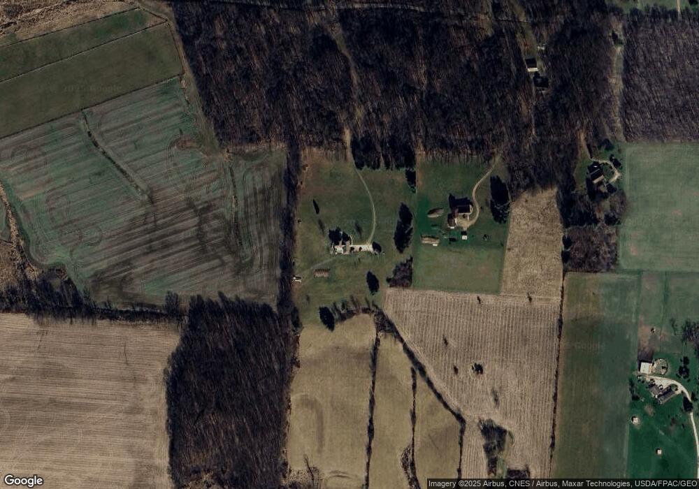
Map
Nearby Homes
- 0 N Liberty Rd
- 15745 Lower Fredericktown Amity Rd
- 14702 Wooster Rd
- 0 Divelbiss Rd
- 17970 Scott Rd
- 15770 Pleasant View Rd
- 14499 Wooster Rd
- 14914 N Liberty Rd
- 13999 Wooster Rd
- 0 Hyatt Rd
- 14021 Gilchrist Rd
- 13618 Gilchrist Rd
- 0 Crooked St
- 15066 Monroe Mills Rd
- 0
- 0 Crooked Street Land Split 2
- 14021 Old Mansfield Rd
- 15014 Monroe Mills Rd
- 17581 Shady Ln
- 17718 Shady Lane Rd
- 17830 Shady Ln
- 0 Shady Lane Rd
- 17830 Shady Lane Rd
- 17761 Shady Ln
- 17571 Lwr Fredericktwn Amity Rd
- 17619 Lwr Fredericktwn Amity Rd
- 17651 Lwr Fredericktwn Amity Rd
- 17651 Lower Fredericktown Amity Rd
- 17821 E Shady Ln
- 16850 N Liberty Rd
- 0 Lower Fredericktown Amity Rd
- 17865 Shady Lane Rd
- 17865 E Shady Ln
- 17865 E Shady Ln
- 0 Shady Ln Unit 9030402
- 0 Shady Ln Unit 213020316
- 17921 E Shady Ln
- 17921 E Shady Ln