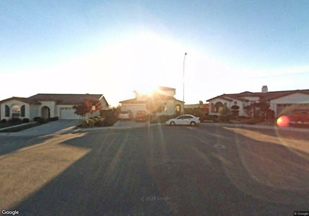
1763 Goodman Ct Paso Robles, CA 93446
Estimated Value: $764,000 - $849,372
4
Beds
3
Baths
2,098
Sq Ft
$386/Sq Ft
Est. Value
About This Home
This home is located at 1763 Goodman Ct, Paso Robles, CA 93446 and is currently estimated at $810,593, approximately $386 per square foot. 1763 Goodman Ct is a home located in San Luis Obispo County with nearby schools including Pat Butler Elementary School, George H. Flamson Middle School, and Paso Robles High School.
Ownership History
Date
Name
Owned For
Owner Type
Purchase Details
Closed on
Aug 23, 2000
Sold by
Serenade Homes Llc
Bought by
Larson Scott R and Larson Susan L
Current Estimated Value
Home Financials for this Owner
Home Financials are based on the most recent Mortgage that was taken out on this home.
Original Mortgage
$196,285
Interest Rate
6.98%
Create a Home Valuation Report for This Property
The Home Valuation Report is an in-depth analysis detailing your home's value as well as a comparison with similar homes in the area
Purchase History
| Date | Buyer | Sale Price | Title Company |
|---|---|---|---|
| Larson Scott R | $234,000 | First American Title |
Source: Public Records
Mortgage History
| Date | Status | Borrower | Loan Amount |
|---|---|---|---|
| Previous Owner | Larson Scott R | $196,285 |
Source: Public Records
Tax History
| Year | Tax Paid | Tax Assessment Tax Assessment Total Assessment is a certain percentage of the fair market value that is determined by local assessors to be the total taxable value of land and additions on the property. | Land | Improvement |
|---|---|---|---|---|
| 2025 | $4,451 | $369,608 | $120,536 | $249,072 |
| 2024 | $4,379 | $362,362 | $118,173 | $244,189 |
| 2023 | $4,379 | $355,257 | $115,856 | $239,401 |
| 2022 | $4,310 | $348,292 | $113,585 | $234,707 |
| 2021 | $4,131 | $341,463 | $111,358 | $230,105 |
| 2020 | $4,054 | $337,963 | $110,217 | $227,746 |
| 2019 | $3,991 | $331,337 | $108,056 | $223,281 |
| 2018 | $3,940 | $324,841 | $105,938 | $218,903 |
| 2017 | $3,724 | $318,472 | $103,861 | $214,611 |
| 2016 | $3,656 | $312,228 | $101,825 | $210,403 |
| 2015 | $3,541 | $307,539 | $100,296 | $207,243 |
| 2014 | $3,424 | $301,516 | $98,332 | $203,184 |
Source: Public Records
Map
Nearby Homes
- 470 Kenton Ct
- 1720 Willowbank Ln
- 192 Sandbar Ct
- 1635 Wade Dr
- 1736 Wade Dr
- 834 Nicklaus St
- 795 Angus St
- 912 Wade Dr
- 448 Morgan Ln
- 1006 Eagle Ct
- 940 Austin Ct
- 829 Saint Andrews Cir
- 419 Cherokee Ct
- 907 Saint Ann Dr
- 911 Saint Ann Dr
- 1036 Samantha Dr
- 1410 Fire Rock Loop
- 1107 Patricia Ln
- 143 Vine St
- 350 Robles Rd
- 1761 Goodman Ct
- 1765 Goodman Ct
- 318 Dorsey Ct
- 1767 Goodman Ct
- 435 Kenton Ct
- 433 Kenton Ct Unit 16
- 316 Dorsey Ct
- 431 Kenton Ct Unit 10
- 431 Kenton Ct
- 437 Kenton Ct
- 1760 Goodman Ct
- 1766 Goodman Ct
- 439 Kenton Ct
- 429 Kenton Ct
- 1764 Goodman Ct
- 441 Kenton Ct
- 314 Dorsey Ct
- 443 Kenton Ct
- 1767 Miller Ct
- 1760 Brahma St
Your Personal Tour Guide
Ask me questions while you tour the home.