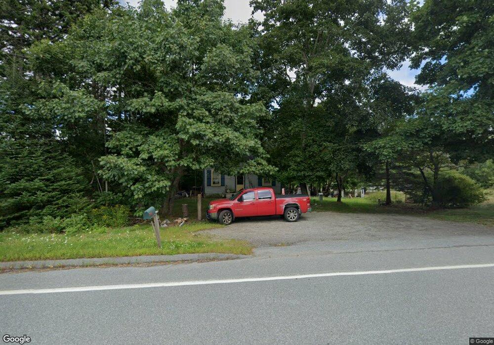
1763 State Highway 102 Bar Harbor, ME 04609
Estimated Value: $269,382 - $378,000
2
Beds
1
Bath
615
Sq Ft
$525/Sq Ft
Est. Value
About This Home
This home is located at 1763 State Highway 102, Bar Harbor, ME 04609 and is currently estimated at $322,846, approximately $524 per square foot. 1763 State Highway 102 is a home located in Hancock County with nearby schools including Conners-Emerson School and Mt. Desert Island High School.
Ownership History
Date
Name
Owned For
Owner Type
Purchase Details
Closed on
Sep 21, 2006
Sold by
Hutchins Brent and Salsbury Vicki
Bought by
Ray David T
Current Estimated Value
Home Financials for this Owner
Home Financials are based on the most recent Mortgage that was taken out on this home.
Original Mortgage
$25,000
Outstanding Balance
$14,948
Interest Rate
6.59%
Mortgage Type
Purchase Money Mortgage
Estimated Equity
$307,898
Create a Home Valuation Report for This Property
The Home Valuation Report is an in-depth analysis detailing your home's value as well as a comparison with similar homes in the area
Home Values in the Area
Average Home Value in this Area
Purchase History
| Date | Buyer | Sale Price | Title Company |
|---|---|---|---|
| Ray David T | -- | -- |
Source: Public Records
Mortgage History
| Date | Status | Borrower | Loan Amount |
|---|---|---|---|
| Open | Ray David T | $25,000 |
Source: Public Records
Tax History Compared to Growth
Tax History
| Year | Tax Paid | Tax Assessment Tax Assessment Total Assessment is a certain percentage of the fair market value that is determined by local assessors to be the total taxable value of land and additions on the property. | Land | Improvement |
|---|---|---|---|---|
| 2024 | $2,009 | $200,100 | $118,800 | $81,300 |
| 2023 | $1,737 | $200,100 | $118,800 | $81,300 |
| 2022 | $1,578 | $169,300 | $100,500 | $68,800 |
| 2021 | $1,499 | $153,900 | $91,400 | $62,500 |
| 2020 | $1,422 | $119,500 | $72,400 | $47,100 |
| 2019 | $1,402 | $118,300 | $71,700 | $46,600 |
| 2018 | $1,368 | $118,300 | $71,700 | $46,600 |
| 2017 | $1,297 | $118,300 | $71,700 | $46,600 |
| 2016 | $1,269 | $118,300 | $71,700 | $46,600 |
| 2015 | $1,253 | $118,300 | $71,700 | $46,600 |
| 2014 | $1,209 | $118,300 | $71,700 | $46,600 |
| 2012 | $1,164 | $118,300 | $71,700 | $46,600 |
Source: Public Records
Map
Nearby Homes
- 1427 State Highway 3
- 16 Blodgett Dr
- 16 Blodgett Ln
- 37 Hanna Dr
- Lot 3 Belle Grande Dr
- Lot 4 Belle Grande Dr
- Lot 79-01 Knox Rd
- 001-108 Oak Point Rd
- 38 Indian Point Rd
- 27 M J Ln
- 14 Island Woods Rd
- Lot 38 Arrowhead Rd
- Lot #9-4 Oak Hill Rd
- 34 Frenchmans Hill E
- 0 Country Way
- 754 Bar Harbor Rd
- 71 Bay View Dr
- 39 Kitteridge Brook Rd
- 26 Pressey Ln
- Lot 5 Bar Harbor Rd
- 1500 State Highway 3
- 0 State Highway 102 Unit 743217
- 0 State Highway 102 Unit 1570480
- 0 State Highway 102 Unit 877130
- 0 State Highway 102 Unit 1439982
- 0 State Highway 102 Unit 1478955
- 1751 State Highway 102
- 103 County Rd
- 71 County Rd
- 0 Old County Rd
- 63 County Rd
- 1719 State Highway 102
- 62 County Rd
- 1441 State Highway 3
- 1706 Maine 102
- 45 County Rd
- 52 County Rd
- 1706 State Highway 102
- 80 County Rd
- 1703 State Highway 102