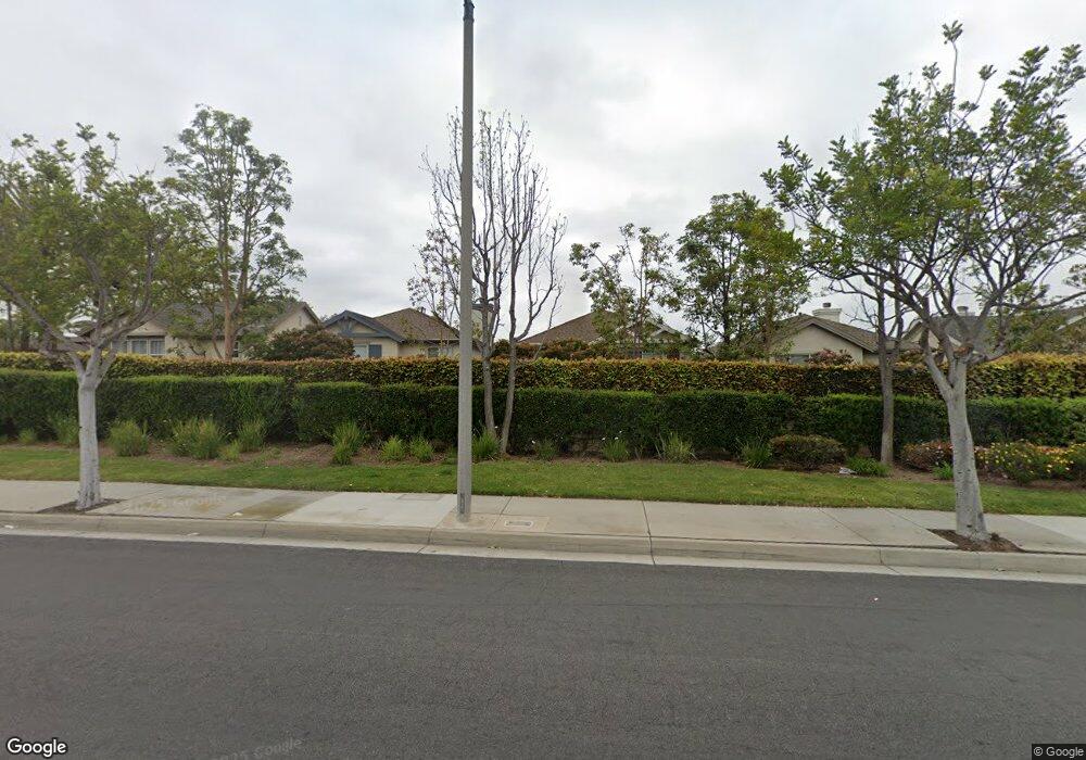
17631 Maple Dr Carson, CA 90746
Estimated Value: $912,000 - $944,000
4
Beds
3
Baths
2,006
Sq Ft
$462/Sq Ft
Est. Value
About This Home
This home is located at 17631 Maple Dr, Carson, CA 90746 and is currently estimated at $926,925, approximately $462 per square foot. 17631 Maple Dr is a home located in Los Angeles County with nearby schools including Ralph Bunche Elementary School, Walton Middle School, and Compton High School.
Ownership History
Date
Name
Owned For
Owner Type
Purchase Details
Closed on
Jan 31, 2006
Sold by
Hargrove Catherine
Bought by
Oduntan Folake B
Current Estimated Value
Home Financials for this Owner
Home Financials are based on the most recent Mortgage that was taken out on this home.
Original Mortgage
$519,920
Interest Rate
7.65%
Mortgage Type
Fannie Mae Freddie Mac
Purchase Details
Closed on
Jul 13, 2000
Sold by
K Hovnanian At Dominguez Hills Inc
Bought by
Hargrove Catherine
Home Financials for this Owner
Home Financials are based on the most recent Mortgage that was taken out on this home.
Original Mortgage
$279,360
Interest Rate
10.37%
Purchase Details
Closed on
Jul 5, 2000
Sold by
Hargrove Robert
Bought by
Hargrove Catherine
Home Financials for this Owner
Home Financials are based on the most recent Mortgage that was taken out on this home.
Original Mortgage
$279,360
Interest Rate
10.37%
Create a Home Valuation Report for This Property
The Home Valuation Report is an in-depth analysis detailing your home's value as well as a comparison with similar homes in the area
Home Values in the Area
Average Home Value in this Area
Purchase History
| Date | Buyer | Sale Price | Title Company |
|---|---|---|---|
| Oduntan Folake B | $650,000 | Orange Coast Title | |
| Hargrove Catherine | $310,500 | Lawyers Title Company | |
| Hargrove Catherine | -- | Lawyers Title Company |
Source: Public Records
Mortgage History
| Date | Status | Borrower | Loan Amount |
|---|---|---|---|
| Previous Owner | Oduntan Folake B | $519,920 | |
| Previous Owner | Hargrove Catherine | $279,360 |
Source: Public Records
Tax History
| Year | Tax Paid | Tax Assessment Tax Assessment Total Assessment is a certain percentage of the fair market value that is determined by local assessors to be the total taxable value of land and additions on the property. | Land | Improvement |
|---|---|---|---|---|
| 2025 | $11,036 | $888,125 | $573,409 | $314,716 |
| 2024 | $11,036 | $870,712 | $562,166 | $308,546 |
| 2023 | $10,874 | $853,641 | $551,144 | $302,497 |
| 2022 | $10,051 | $836,904 | $540,338 | $296,566 |
| 2021 | $8,254 | $648,000 | $418,000 | $230,000 |
| 2019 | $8,199 | $648,000 | $418,000 | $230,000 |
| 2018 | $7,141 | $558,000 | $360,000 | $198,000 |
| 2016 | $7,013 | $558,000 | $360,000 | $198,000 |
| 2015 | $6,111 | $505,000 | $326,000 | $179,000 |
| 2014 | $4,940 | $400,000 | $258,000 | $142,000 |
Source: Public Records
Map
Nearby Homes
- 17809 Ash Ct
- 17533 Sagebrush Way
- 17536 Yellowwood Way
- 17550 Buttonwood Ln
- 910 E Meadbrook St
- 143 S Tulip Ave
- 945 W Dahlia St
- 1601 1603 W 165th St
- 147 S Tulip Ave
- 1351 E Bankers Dr
- 19012 Tillman Ave
- 17700 Avalon Blvd Unit 267
- 17700 Avalon Blvd Unit 387
- 17700 Avalon Blvd Unit 40
- 19008 Hillford Ave
- 1412 S Northwood Ave
- 17701 S Avalon Blvd Unit 81
- 19202 Campaign Dr
- 1380 Vigilant
- 1307 S Grandee Ave
- 17635 Maple Dr
- 17627 Maple Dr
- 17623 Maple Dr
- 0 Willow Way Unit 36433860
- 17639 Maple Dr
- 17630 Maple Dr
- 17626 Maple Dr
- 17638 Maple Dr
- 17634 Maple Dr
- 17638 Mulberry Dr
- 17634 Mulberry Dr
- 17622 Maple Dr
- 17646 Mulberry Dr
- 17628 Mulberry Dr
- 17650 Mulberry Dr
- 1290 Magnolia Dr
- 1296 Magnolia Dr
- 1292 Magnolia Dr
- 0 Willow Glen Unit 11-500449
- 17622 Mulberry Dr
