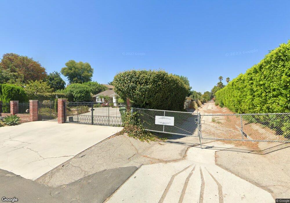
17633 Community St Northridge, CA 91325
Estimated Value: $1,282,000 - $1,398,922
3
Beds
3
Baths
2,266
Sq Ft
$594/Sq Ft
Est. Value
About This Home
This home is located at 17633 Community St, Northridge, CA 91325 and is currently estimated at $1,346,981, approximately $594 per square foot. 17633 Community St is a home located in Los Angeles County with nearby schools including Lorne Street Elementary, Northridge Middle School, and Northridge Academy High.
Ownership History
Date
Name
Owned For
Owner Type
Purchase Details
Closed on
Mar 14, 2002
Sold by
Powers Lani
Bought by
Powers Lani
Current Estimated Value
Home Financials for this Owner
Home Financials are based on the most recent Mortgage that was taken out on this home.
Original Mortgage
$145,000
Interest Rate
6.85%
Mortgage Type
Purchase Money Mortgage
Purchase Details
Closed on
Sep 1, 1999
Sold by
Powers Thomas S
Bought by
Powers Lani
Create a Home Valuation Report for This Property
The Home Valuation Report is an in-depth analysis detailing your home's value as well as a comparison with similar homes in the area
Home Values in the Area
Average Home Value in this Area
Purchase History
| Date | Buyer | Sale Price | Title Company |
|---|---|---|---|
| Powers Lani | -- | -- | |
| Powers Lani | -- | Commonwealth Land Title | |
| Powers Lani | -- | -- |
Source: Public Records
Mortgage History
| Date | Status | Borrower | Loan Amount |
|---|---|---|---|
| Closed | Powers Lani | $145,000 |
Source: Public Records
Tax History Compared to Growth
Tax History
| Year | Tax Paid | Tax Assessment Tax Assessment Total Assessment is a certain percentage of the fair market value that is determined by local assessors to be the total taxable value of land and additions on the property. | Land | Improvement |
|---|---|---|---|---|
| 2025 | $5,036 | $380,151 | $199,125 | $181,026 |
| 2024 | $5,036 | $372,698 | $195,221 | $177,477 |
| 2023 | $4,947 | $365,392 | $191,394 | $173,998 |
| 2022 | $4,735 | $358,229 | $187,642 | $170,587 |
| 2021 | $4,670 | $351,206 | $183,963 | $167,243 |
| 2019 | $4,540 | $340,791 | $178,507 | $162,284 |
| 2018 | $4,215 | $334,109 | $175,007 | $159,102 |
| 2016 | $4,009 | $321,137 | $168,212 | $152,925 |
| 2015 | $3,952 | $316,314 | $165,686 | $150,628 |
| 2014 | $3,981 | $310,119 | $162,441 | $147,678 |
Source: Public Records
Map
Nearby Homes
- 8300 Zelzah Ave
- 17437 Chase St
- 8132 White Oak Ave
- 17528 Willard St
- 17800 Raymer St
- 17529 Lanark St
- 17956 Schoenborn St
- 8502 Newcastle Ave
- 18018 Schoenborn St
- 17545 Parthenia St
- 8610 Blauvelt Place
- 8503 Newcastle Ave
- 17912 Parthenia St
- 18022 Raymer St
- 8421 Lindley Ave
- 8760 White Oak Ave
- 8400 Chimineas Ave
- 8223 Garden Grove Ave
- 7927 Zelzah Ave
- 7931 Lasaine Ave
- 17621 Community St
- 17643 Community St
- 17611 Community St
- 17622 Chase St
- 17644 Community St
- 17632 Community St
- 17632 Chase St
- 8422 White Oak Ave
- 17600 Chase St
- 17605 Community St
- 17620 Community St
- 17566 Chase St
- 17642 Chase St
- 17610 Community St
- 17555 Community St
- 8336 White Oak Ave
- 8440 White Oak Ave
- 17556 Chase St Unit 1
- 17556 Chase St Unit 3
- 17556 Chase St