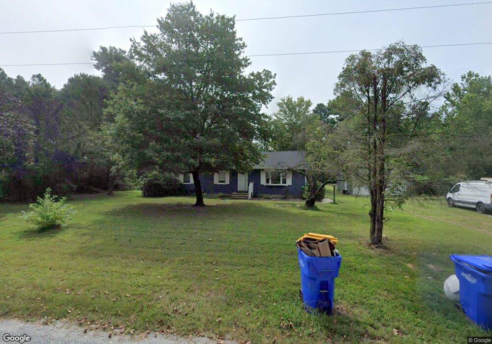
17638 Dusty Rd Georgetown, DE 19947
Estimated Value: $191,000 - $315,000
3
Beds
--
Bath
1,152
Sq Ft
$245/Sq Ft
Est. Value
About This Home
This home is located at 17638 Dusty Rd, Georgetown, DE 19947 and is currently estimated at $281,830, approximately $244 per square foot. 17638 Dusty Rd is a home with nearby schools including North Georgetown Elementary School, Georgetown Middle School, and Sussex Central High School.
Ownership History
Date
Name
Owned For
Owner Type
Purchase Details
Closed on
May 14, 2018
Sold by
James Branson C
Bought by
James Branson C and James Hope C
Current Estimated Value
Home Financials for this Owner
Home Financials are based on the most recent Mortgage that was taken out on this home.
Original Mortgage
$126,000
Outstanding Balance
$107,552
Interest Rate
4.4%
Mortgage Type
New Conventional
Estimated Equity
$174,278
Purchase Details
Closed on
Nov 21, 2014
Sold by
Jeff Jeff
Bought by
James Branson Christopher
Create a Home Valuation Report for This Property
The Home Valuation Report is an in-depth analysis detailing your home's value as well as a comparison with similar homes in the area
Home Values in the Area
Average Home Value in this Area
Purchase History
| Date | Buyer | Sale Price | Title Company |
|---|---|---|---|
| James Branson C | -- | -- | |
| James Branson Christopher | -- | -- |
Source: Public Records
Mortgage History
| Date | Status | Borrower | Loan Amount |
|---|---|---|---|
| Open | James Branson C | $126,000 |
Source: Public Records
Tax History
| Year | Tax Paid | Tax Assessment Tax Assessment Total Assessment is a certain percentage of the fair market value that is determined by local assessors to be the total taxable value of land and additions on the property. | Land | Improvement |
|---|---|---|---|---|
| 2025 | $686 | $16,800 | $1,750 | $15,050 |
| 2024 | $839 | $16,800 | $1,750 | $15,050 |
| 2023 | $837 | $16,800 | $1,750 | $15,050 |
| 2022 | $777 | $16,800 | $1,750 | $15,050 |
| 2021 | $694 | $16,800 | $1,750 | $15,050 |
| 2020 | $664 | $16,800 | $1,750 | $15,050 |
| 2019 | $660 | $16,800 | $1,750 | $15,050 |
| 2018 | $666 | $16,800 | $0 | $0 |
| 2017 | $659 | $16,800 | $0 | $0 |
| 2016 | $583 | $16,800 | $0 | $0 |
| 2015 | $600 | $16,800 | $0 | $0 |
| 2014 | $603 | $16,800 | $0 | $0 |
Source: Public Records
Map
Nearby Homes
- 19426 Parsons Rd
- 28046 Bryans Store Rd
- 29028 Black Pepper Ln
- 0 Dogwood Ln Unit DESU2090192
- 0 Dogwood Ln Unit DESU2090178
- 0 Dogwood Ln Unit DESU2090196
- 20157 W Piney Grove Rd
- 26742 Shortly Rd
- 18648 Shiloh Church Rd
- 20229 W Piney Grove Rd
- Lot F
- Lot F Shortly Rd
- Lot B Easement Off of Shortly Rd
- Lot D - 133-9.00-9.2 Rd
- Lot 7 Shortly Rd
- Lot C - 133-9.00-9.1 Easement Off of Shortly Rd
- Lot E 133-9.00-9.16 Lot E 133-9 00-9 16 On Easement Off of Shortly Rd
- LOT A Shortly Rd
- 18.271 ac., Tract 5 Shortly Rd
- .766 ac., Tract 3 Shortly Rd
- 17656 Dusty Rd
- 18006 Dusty Rd
- 18109 Dusty Rd
- 18137 Dusty Rd
- 26564 E Trap Pond Rd
- 26544 E Trap Pond Rd
- 26500 E Trap Pond Rd
- 26511 E Trap Pond Rd
- 26511 E Trap Pond Rd
- 26412 E Trap Pond Rd
- 26412 E Trap Pond Rd
- 26280 E Trap Pond Rd
- 26981 E Trap Pond Rd
- 26244 E Trap Pond Rd
- E Rte 62 Route 62
- 26098 Tyndall Rd
- 26082 Tyndall Rd
- 24346 Tyndall Rd
- 24346 Tyndall Ln
- 26066 Tyndall Rd
Your Personal Tour Guide
Ask me questions while you tour the home.