1764 Highway T38 N Unit N100 Grinnell, IA 50112
Estimated Value: $354,000 - $453,000
4
Beds
3
Baths
1,570
Sq Ft
$255/Sq Ft
Est. Value
About This Home
This home is located at 1764 Highway T38 N Unit N100, Grinnell, IA 50112 and is currently estimated at $400,009, approximately $254 per square foot. 1764 Highway T38 N Unit N100 is a home located in Jasper County with nearby schools including Grinnell Community Senior High School and Central Iowa Christian School.
Ownership History
Date
Name
Owned For
Owner Type
Purchase Details
Closed on
Sep 1, 2021
Sold by
Reeder Jeffrey C and Reeder Michelle L
Bought by
Knight Jeff A and Knight Peggy
Current Estimated Value
Home Financials for this Owner
Home Financials are based on the most recent Mortgage that was taken out on this home.
Original Mortgage
$358,050
Outstanding Balance
$325,313
Interest Rate
2.7%
Mortgage Type
VA
Estimated Equity
$74,696
Create a Home Valuation Report for This Property
The Home Valuation Report is an in-depth analysis detailing your home's value as well as a comparison with similar homes in the area
Home Values in the Area
Average Home Value in this Area
Purchase History
| Date | Buyer | Sale Price | Title Company |
|---|---|---|---|
| Knight Jeff A | $350,000 | None Listed On Document |
Source: Public Records
Mortgage History
| Date | Status | Borrower | Loan Amount |
|---|---|---|---|
| Open | Knight Jeff A | $358,050 |
Source: Public Records
Tax History Compared to Growth
Tax History
| Year | Tax Paid | Tax Assessment Tax Assessment Total Assessment is a certain percentage of the fair market value that is determined by local assessors to be the total taxable value of land and additions on the property. | Land | Improvement |
|---|---|---|---|---|
| 2025 | $3,778 | $346,730 | $64,000 | $282,730 |
| 2024 | $3,778 | $324,760 | $42,980 | $281,780 |
| 2023 | $3,706 | $324,760 | $42,980 | $281,780 |
| 2022 | $3,418 | $264,380 | $42,980 | $221,400 |
| 2021 | $3,454 | $243,780 | $42,980 | $200,800 |
| 2020 | $3,454 | $234,480 | $49,970 | $184,510 |
| 2019 | $3,238 | $202,770 | $0 | $0 |
| 2018 | $3,238 | $202,770 | $0 | $0 |
| 2017 | $3,174 | $202,770 | $0 | $0 |
| 2016 | $3,294 | $202,770 | $0 | $0 |
| 2015 | $3,248 | $202,770 | $0 | $0 |
| 2014 | $3,228 | $202,770 | $0 | $0 |
Source: Public Records
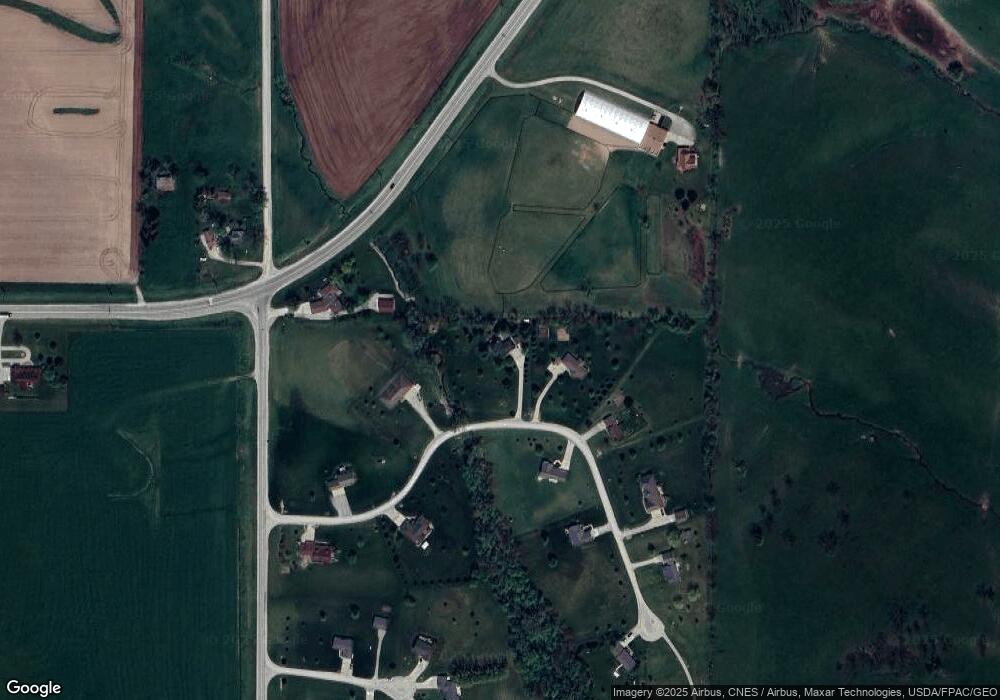
Map
Nearby Homes
- 5 Oakridge Dr
- 18 Fore Seasons Dr
- 1109 E 132nd St N
- 0 Highway F 27 E
- 1050 Rock Creek St W Unit Lot G
- 1050 Rock Creek West St
- 60 Rock Creek St W
- 60 W Rock Creek West St
- 244 4th Ave W
- 200 3rd Ave W
- 4301 Joy St
- 612 Prairie St
- 518 Industrial Ave
- 503 Harrison Ave
- 515 Marvin Ave
- 616 Harrison Ave
- 925 Reed St
- 410 Lang Creek Ave
- 503 Lang Creek Ave
- 505 Lang Creek Ave
- 1764 Highway T38 N Unit N130
- 1764 Highway T38 N Unit N50
- 1764 Highway T38 N Unit N30
- 1764 Highway T38 N Unit N10
- 1764 Highway T38 N Unit N120
- 1764 Highway T38 N Unit N90
- 1764 Highway T38 N Unit N80
- 1764 Highway T38 N Unit N70
- 1764 Highway T38 N Unit N60
- 1764 Highway T38 N Unit N20
- 1764 Highway T38 N Unit N40
- 1764 Highway T38 N Unit LOT 40
- 1764 Highway T38 N
- 110 Highway T 38 N
- 1764 Highway T38 S Unit 40
- 1764 Highway T38 N
- 1676 Highway T38 N
- 1676 Highway T38 N Unit N50
- 1676 Highway T38 N Unit N40
- 1676 Highway T38 N Unit N30