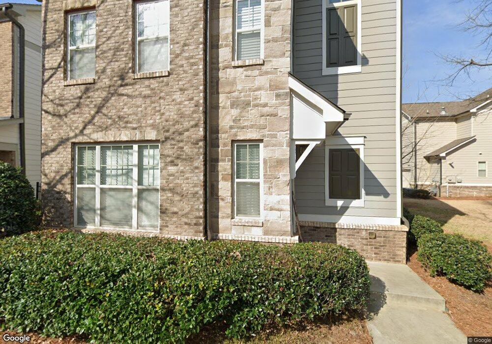
1764 Reynolds Cir SE Smyrna, GA 30080
Estimated Value: $605,000 - $715,000
4
Beds
4
Baths
2,563
Sq Ft
$256/Sq Ft
Est. Value
About This Home
This home is located at 1764 Reynolds Cir SE, Smyrna, GA 30080 and is currently estimated at $654,868, approximately $255 per square foot. 1764 Reynolds Cir SE is a home with nearby schools including Smyrna Elementary School, Campbell Middle School, and Campbell High School.
Ownership History
Date
Name
Owned For
Owner Type
Purchase Details
Closed on
Apr 2, 2020
Sold by
Brasuell Daniel W and Brasuell Britney K
Bought by
Baker Destinee Ceara and Baker Anthony Victor
Current Estimated Value
Home Financials for this Owner
Home Financials are based on the most recent Mortgage that was taken out on this home.
Original Mortgage
$412,250
Outstanding Balance
$364,410
Interest Rate
3.4%
Mortgage Type
New Conventional
Estimated Equity
$290,458
Purchase Details
Closed on
Apr 23, 2015
Sold by
Trellis At Smyrna Llc
Bought by
Tpg Homes Llc
Create a Home Valuation Report for This Property
The Home Valuation Report is an in-depth analysis detailing your home's value as well as a comparison with similar homes in the area
Home Values in the Area
Average Home Value in this Area
Purchase History
| Date | Buyer | Sale Price | Title Company |
|---|---|---|---|
| Baker Destinee Ceara | $425,000 | None Available | |
| Tpg Homes Llc | $226,000 | -- |
Source: Public Records
Mortgage History
| Date | Status | Borrower | Loan Amount |
|---|---|---|---|
| Open | Baker Destinee Ceara | $412,250 |
Source: Public Records
Tax History Compared to Growth
Tax History
| Year | Tax Paid | Tax Assessment Tax Assessment Total Assessment is a certain percentage of the fair market value that is determined by local assessors to be the total taxable value of land and additions on the property. | Land | Improvement |
|---|---|---|---|---|
| 2025 | $5,379 | $227,632 | $70,000 | $157,632 |
| 2024 | $5,379 | $227,632 | $70,000 | $157,632 |
| 2023 | $4,890 | $227,632 | $70,000 | $157,632 |
| 2022 | $4,587 | $183,400 | $42,000 | $141,400 |
| 2021 | $4,257 | $164,804 | $38,000 | $126,804 |
| 2020 | $4,530 | $164,804 | $38,000 | $126,804 |
| 2019 | $4,143 | $150,692 | $36,000 | $114,692 |
| 2018 | $4,143 | $150,692 | $36,000 | $114,692 |
| 2017 | $3,342 | $129,576 | $36,000 | $93,576 |
| 2016 | $3,342 | $129,576 | $36,000 | $93,576 |
| 2015 | $581 | $22,000 | $22,000 | $0 |
Source: Public Records
Map
Nearby Homes
- 1764 Whitfield Parc Cir
- 1761 Whitfield Parc Cir SE
- 1579 Walker St SE
- 1417 Springleaf Cir SE
- 2781 Mathews St SE
- 1537 Springleaf Cove SE
- 1700 Wynndowne Trail SE Unit C
- 1768 Evenstad Way
- 3037 Ferrington Way
- 1722 Wynndowne Trail SE
- 2654 Davenport St SE
- 3001 Hawthorne Place SE
- 2683 Davenport St SE
- 2791 Madison St SE
- 2613 Davenport St SE
- 1461 Hawthorne Ave SE
- 2964 Anderson Cir SE
- 1768 Whitfield Parc Cir
- 1728 Whitfield Parc Cir SE
- 0 Whitfield Parc Cir Unit 9076720
- 0 Whitfield Parc Cir Unit 8743163
- 0 Whitfield Parc Cir Unit 8913630
- 0 Whitfield Parc Cir Unit 7553295
- 0 Whitfield Parc Cir Unit 8015148
- 0 Whitfield Parc Cir Unit 8581195
- 1713 Whitfield St SE
- 1722 Reynolds Cir SE
- 1724 Whitfield Parc Cir
- 1757 Whitfield Parc Cir
- 1765 Whitfield Parc Cir SE
- 2005 Whitfield St SE
- 1753 Whitfield Parc Cir SE
- 1753 Whitfield Parc Cir SE
- 2003 Whitfield St SE
- 1769 Whitfield Parc Cir SE
- 1720 Whitfield Parc Cir
- 1769 Whitfield Parc Cir SE