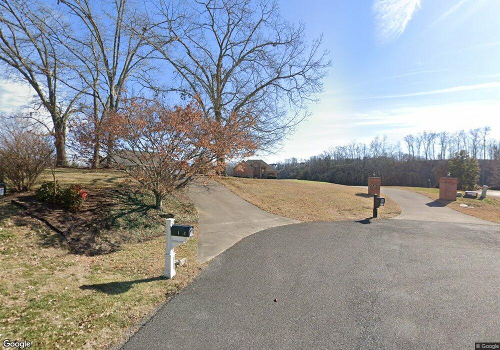
1764 Sams Dr Dandridge, TN 37725
Estimated Value: $988,000 - $2,156,000
--
Bed
4
Baths
4,760
Sq Ft
$331/Sq Ft
Est. Value
About This Home
This home is located at 1764 Sams Dr, Dandridge, TN 37725 and is currently estimated at $1,575,242, approximately $330 per square foot. 1764 Sams Dr is a home located in Jefferson County.
Ownership History
Date
Name
Owned For
Owner Type
Purchase Details
Closed on
Nov 20, 2024
Sold by
Welborn James R and Welborn Joann G
Bought by
Welborn Family Living Trust and Welborn
Current Estimated Value
Purchase Details
Closed on
Jul 23, 2004
Sold by
Oglesby Tony E
Bought by
Welborn James R
Purchase Details
Closed on
May 26, 2000
Sold by
Ray Sexton
Bought by
Tony Oglesby
Purchase Details
Closed on
Dec 15, 1995
Bought by
Ray Secton
Purchase Details
Closed on
Aug 2, 1994
Bought by
Irwin Timothy E
Create a Home Valuation Report for This Property
The Home Valuation Report is an in-depth analysis detailing your home's value as well as a comparison with similar homes in the area
Home Values in the Area
Average Home Value in this Area
Purchase History
| Date | Buyer | Sale Price | Title Company |
|---|---|---|---|
| Welborn Family Living Trust | -- | None Listed On Document | |
| Welborn James R | $709,500 | -- | |
| Tony Oglesby | $662,500 | -- | |
| Ray Secton | $92,000 | -- | |
| Irwin Timothy E | $75,000 | -- |
Source: Public Records
Tax History Compared to Growth
Tax History
| Year | Tax Paid | Tax Assessment Tax Assessment Total Assessment is a certain percentage of the fair market value that is determined by local assessors to be the total taxable value of land and additions on the property. | Land | Improvement |
|---|---|---|---|---|
| 2025 | $4,455 | $402,100 | $86,050 | $316,050 |
| 2023 | $4,455 | $193,700 | $0 | $0 |
| 2022 | $4,242 | $193,700 | $35,075 | $158,625 |
| 2021 | $4,242 | $193,700 | $35,075 | $158,625 |
| 2020 | $4,242 | $193,700 | $35,075 | $158,625 |
| 2019 | $4,242 | $193,700 | $35,075 | $158,625 |
| 2018 | $4,304 | $183,150 | $43,075 | $140,075 |
| 2017 | $4,304 | $183,150 | $43,075 | $140,075 |
| 2016 | $4,304 | $183,150 | $43,075 | $140,075 |
| 2015 | $4,304 | $183,150 | $43,075 | $140,075 |
| 2014 | $4,304 | $183,150 | $43,075 | $140,075 |
Source: Public Records
Map
Nearby Homes
- 1920 Mountain Lake Dr
- Lots 1&2 Ferry Hill Rd
- 1737 Doc Terry Rd
- 1710 Ferry Hill Rd
- 1635 Sams Dr
- 1614 Sams Dr
- 428 River Bend Dr
- 312 Economy Cir
- 621 Highway 139
- 450 Riverbend Dr
- 344 Economy Cir
- 1045 Southwind Cir
- 1018 Southwind Cir
- 136 Crosslake Ln
- 1928 Bouldercrest Dr
- 1476 Martha Dandridge Cir
- 626 Briarwood Dr
- 508 Tennessee 139
- 417 Little Cove Dr
- 1988 Lakebrook Cir
- 1762 Sams Dr
- 1765 Sams Dr
- 1758 Sams Dr
- 1747 Sams Dr
- 1743 Sams Dr
- Lot 32 Mountain Lake Dr
- 1752 Sams Dr
- 1733 Sams Dr
- 1733 Sams Dr Unit S/D - WILD GOOSE COV
- 1748 Sams Dr
- 0 Mountain Lake Dr Unit 584066
- 0 Mountain Lake Dr Unit 583927
- 0 Mountain Lake Dr Unit 911869
- 0 Mountain Lake Dr Unit 654002
- 0 Mountain Lake Dr Unit 654007
- 0 Mountain Lake Dr Unit 653999
- 0 Mountain Lake Dr Unit II ADDN. 704436
- 0 Mountain Lake Dr Unit 727720
- 0 Mountain Lake Dr Unit 727711
- 0 Mountain Lake Dr Unit 727726
