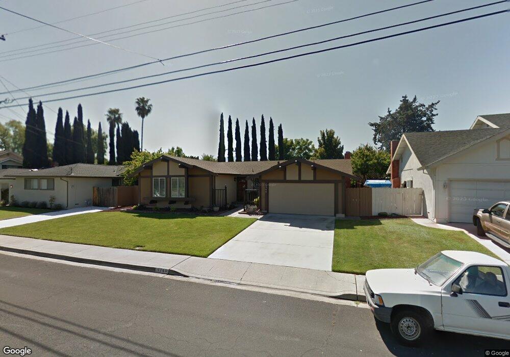
1764 Sargent Rd Concord, CA 94518
Colony Park NeighborhoodEstimated Value: $817,486 - $896,000
3
Beds
2
Baths
1,557
Sq Ft
$554/Sq Ft
Est. Value
About This Home
This home is located at 1764 Sargent Rd, Concord, CA 94518 and is currently estimated at $862,122, approximately $553 per square foot. 1764 Sargent Rd is a home located in Contra Costa County with nearby schools including Ygnacio Valley Elementary School, Oak Grove Middle School, and Ygnacio Valley High School.
Ownership History
Date
Name
Owned For
Owner Type
Purchase Details
Closed on
May 20, 2017
Sold by
Woodward Robert D and Woodward Sharon R
Bought by
Woodward Robert D and Woodward Sharon R
Current Estimated Value
Home Financials for this Owner
Home Financials are based on the most recent Mortgage that was taken out on this home.
Original Mortgage
$392,500
Interest Rate
4.08%
Mortgage Type
New Conventional
Purchase Details
Closed on
May 18, 2017
Sold by
Woodward Robert D and Woodward Sharon R
Bought by
Woodward Robert D and Woodward Sharon R
Home Financials for this Owner
Home Financials are based on the most recent Mortgage that was taken out on this home.
Original Mortgage
$392,500
Interest Rate
4.08%
Mortgage Type
New Conventional
Purchase Details
Closed on
Nov 18, 2004
Sold by
Woodward Robert D and Woodward Sharon R
Bought by
Woodward Robert D and Woodward Sharon R
Create a Home Valuation Report for This Property
The Home Valuation Report is an in-depth analysis detailing your home's value as well as a comparison with similar homes in the area
Home Values in the Area
Average Home Value in this Area
Purchase History
| Date | Buyer | Sale Price | Title Company |
|---|---|---|---|
| Woodward Robert D | -- | Lawyers Title Company | |
| Woodward Robert D | -- | Lawyers Title Company | |
| Woodward Robert D | -- | -- | |
| Woodward Robert D | -- | -- |
Source: Public Records
Mortgage History
| Date | Status | Borrower | Loan Amount |
|---|---|---|---|
| Closed | Woodward Robert D | $392,500 |
Source: Public Records
Tax History
| Year | Tax Paid | Tax Assessment Tax Assessment Total Assessment is a certain percentage of the fair market value that is determined by local assessors to be the total taxable value of land and additions on the property. | Land | Improvement |
|---|---|---|---|---|
| 2025 | $1,976 | $94,322 | $35,030 | $59,292 |
| 2024 | $1,844 | $92,474 | $34,344 | $58,130 |
| 2023 | $1,844 | $90,662 | $33,671 | $56,991 |
| 2022 | $1,792 | $88,885 | $33,011 | $55,874 |
| 2021 | $1,726 | $87,143 | $32,364 | $54,779 |
| 2019 | $1,674 | $84,560 | $31,405 | $53,155 |
| 2018 | $1,597 | $82,903 | $30,790 | $52,113 |
| 2017 | $1,525 | $81,279 | $30,187 | $51,092 |
| 2016 | $1,449 | $79,687 | $29,596 | $50,091 |
| 2015 | $1,396 | $78,491 | $29,152 | $49,339 |
| 2014 | $1,336 | $76,954 | $28,581 | $48,373 |
Source: Public Records
Map
Nearby Homes
- 1795 Klier Dr
- 959 Chandler Ct
- 1941 Woodmoor Ct
- 875 Brittany Ln
- 1800 Gilardy Dr
- 1035 Heckmann Ln
- 1013 Mohr Ln Unit 2
- 1045 Mohr Ln Unit B
- 1360 Del Rio Ct Unit 4
- 1049 Mohr Ln Unit A
- 800 Abigail Place
- 802 Abigail Place
- 798 Abigail Place
- 1040 Mohr Ln Unit C
- 1044 Mohr Ln Unit D
- 1459 Del Rio Cir Unit C
- 2840 Royal Ann Ln
- 207 Normandy Ln
- 954 Alla Ave
- 825 Oak Grove Rd Unit 17
Your Personal Tour Guide
Ask me questions while you tour the home.