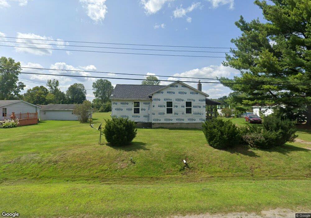
1765 Omar Rd Kimball, MI 48074
Estimated Value: $124,000 - $181,000
--
Bed
--
Bath
939
Sq Ft
$155/Sq Ft
Est. Value
About This Home
This home is located at 1765 Omar Rd, Kimball, MI 48074 and is currently estimated at $145,503, approximately $154 per square foot. 1765 Omar Rd is a home located in St. Clair County with nearby schools including Kimball Elementary School, Central Middle School, and Port Huron High School.
Ownership History
Date
Name
Owned For
Owner Type
Purchase Details
Closed on
Dec 1, 2022
Sold by
Peeling Charles W and Peeling Sheila A
Bought by
Hall Joseph Michael and Sloan Paula Caye
Current Estimated Value
Purchase Details
Closed on
Jan 8, 2010
Sold by
Dlora Gill Richard and Dlora Gill
Bought by
Peeling Charles W and Peeling Sheila A
Create a Home Valuation Report for This Property
The Home Valuation Report is an in-depth analysis detailing your home's value as well as a comparison with similar homes in the area
Home Values in the Area
Average Home Value in this Area
Purchase History
| Date | Buyer | Sale Price | Title Company |
|---|---|---|---|
| Hall Joseph Michael | $20,000 | Huron Title | |
| Peeling Charles W | $15,000 | None Available |
Source: Public Records
Tax History Compared to Growth
Tax History
| Year | Tax Paid | Tax Assessment Tax Assessment Total Assessment is a certain percentage of the fair market value that is determined by local assessors to be the total taxable value of land and additions on the property. | Land | Improvement |
|---|---|---|---|---|
| 2025 | $1,399 | $46,700 | $0 | $0 |
| 2024 | $662 | $43,900 | $0 | $0 |
| 2023 | $614 | $42,300 | $0 | $0 |
| 2022 | $1,332 | $35,100 | $0 | $0 |
| 2021 | $1,266 | $33,400 | $0 | $0 |
| 2020 | $1,266 | $32,800 | $32,800 | $0 |
| 2019 | $1,247 | $26,600 | $0 | $0 |
| 2018 | $1,196 | $27,600 | $0 | $0 |
| 2017 | $1,174 | $28,900 | $0 | $0 |
| 2016 | $796 | $28,900 | $0 | $0 |
| 2015 | -- | $28,100 | $28,100 | $0 |
| 2014 | -- | $24,300 | $24,300 | $0 |
| 2013 | -- | $29,600 | $0 | $0 |
Source: Public Records
Map
Nearby Homes
- V/L Allen
- 1830 Leland Rd
- 1701 Allen Rd
- 1604 Allen Rd
- 1979 Allen Rd
- 4632 Cloverdale Ln
- 4595 Griswold Rd
- 1405 Range Rd
- 00 Range Rd
- 00 Howard Rd
- 0000 Range Rd
- 0 Allen Rd Unit 20250008597
- 0 Allen Rd Unit 20250008612
- 5510 Griswold Rd
- 1091 Allen Rd
- 0 Wall Rd Unit 50185999
- 1876 Morningstar Ave
- 0 Ravenswood Rd Unit 20251017048
- 0000 Ravenswood Rd
- 0 Lapeer Rd Unit 50137357