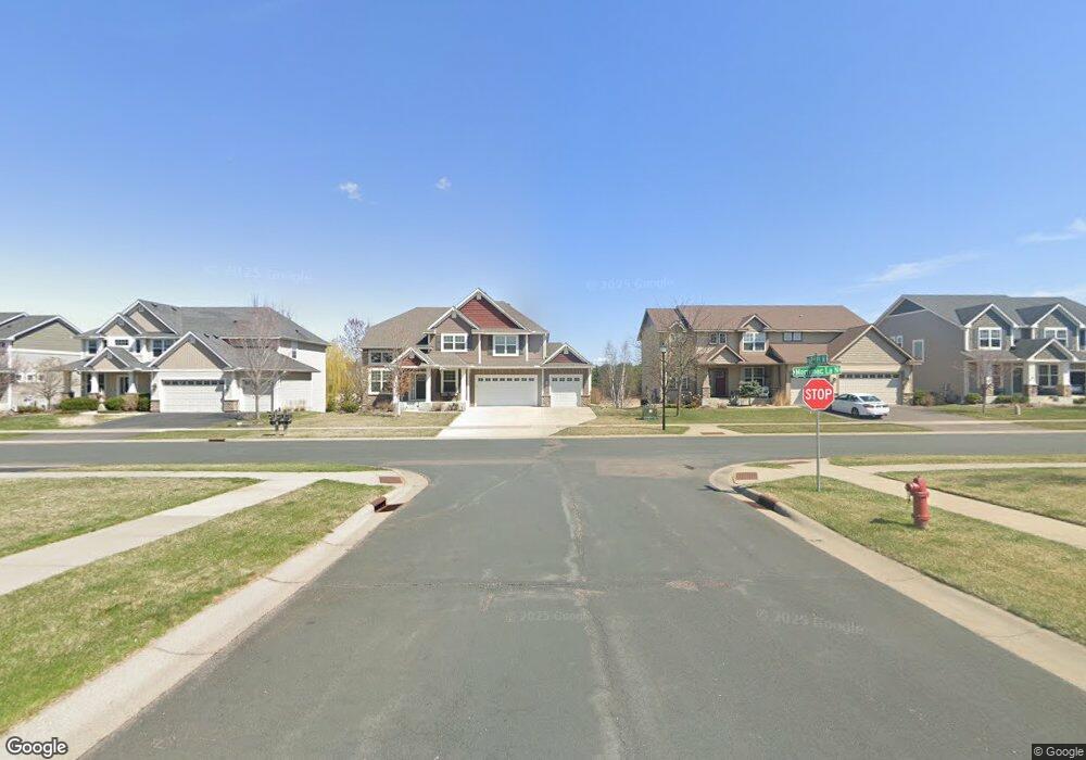
17656 62nd Place N Maple Grove, MN 55369
Estimated Value: $767,473 - $840,000
5
Beds
4
Baths
2,854
Sq Ft
$282/Sq Ft
Est. Value
About This Home
This home is located at 17656 62nd Place N, Maple Grove, MN 55369 and is currently estimated at $804,368, approximately $281 per square foot. 17656 62nd Place N is a home located in Hennepin County with nearby schools including Wayzata Central Middle School, Wayzata High School, and Ave Maria Academy.
Ownership History
Date
Name
Owned For
Owner Type
Purchase Details
Closed on
Jan 19, 2021
Sold by
Paup Emily A B and Paup Daniel L
Bought by
Obrien Philip and Imura Haruka
Current Estimated Value
Home Financials for this Owner
Home Financials are based on the most recent Mortgage that was taken out on this home.
Original Mortgage
$508,000
Outstanding Balance
$453,392
Interest Rate
2.71%
Mortgage Type
New Conventional
Estimated Equity
$350,976
Purchase Details
Closed on
Mar 27, 2013
Sold by
U S Home Corporation
Bought by
Paul Daniel L and Paup Emily A B
Home Financials for this Owner
Home Financials are based on the most recent Mortgage that was taken out on this home.
Original Mortgage
$399,672
Interest Rate
3.48%
Mortgage Type
New Conventional
Create a Home Valuation Report for This Property
The Home Valuation Report is an in-depth analysis detailing your home's value as well as a comparison with similar homes in the area
Home Values in the Area
Average Home Value in this Area
Purchase History
| Date | Buyer | Sale Price | Title Company |
|---|---|---|---|
| Obrien Philip | $635,000 | All American Title Co Inc | |
| Paul Daniel L | -- | North American Title Company | |
| O'Brien Phillip Phillip | $635,000 | -- |
Source: Public Records
Mortgage History
| Date | Status | Borrower | Loan Amount |
|---|---|---|---|
| Open | Obrien Philip | $508,000 | |
| Previous Owner | Paul Daniel L | $399,672 | |
| Closed | O'Brien Phillip Phillip | $508,000 |
Source: Public Records
Tax History Compared to Growth
Tax History
| Year | Tax Paid | Tax Assessment Tax Assessment Total Assessment is a certain percentage of the fair market value that is determined by local assessors to be the total taxable value of land and additions on the property. | Land | Improvement |
|---|---|---|---|---|
| 2024 | $8,604 | $706,700 | $206,300 | $500,400 |
| 2023 | $7,839 | $679,900 | $178,900 | $501,000 |
| 2022 | $6,880 | $663,900 | $149,400 | $514,500 |
| 2021 | $6,912 | $537,600 | $112,500 | $425,100 |
| 2020 | $7,077 | $535,800 | $125,000 | $410,800 |
| 2019 | $7,145 | $529,600 | $124,400 | $405,200 |
| 2018 | $6,683 | $527,400 | $138,400 | $389,000 |
| 2017 | $6,522 | $472,500 | $115,000 | $357,500 |
| 2016 | $6,913 | $487,800 | $135,000 | $352,800 |
| 2015 | $6,825 | $471,600 | $137,000 | $334,600 |
| 2014 | -- | $221,100 | $115,000 | $106,100 |
Source: Public Records
Map
Nearby Homes
- 6300 Ranier Ln N
- 17749 62nd Ave N
- 17716 Elm Rd N
- 6287 Fountain Ln N
- 6508 Merrimac Ln N Unit 6508
- 6566 Merrimac Ln N
- 6205 Ranier Ln N
- 6324 Fountain Ln N
- 6647 Peony Ln N
- 17812 66th Ave N
- 6165 Garland Ln N
- 6750 Troy Ln N
- 5895 Garland Ln N
- 6860 Peony Ln N
- 16600 61st Ave N
- 6757 Urbandale Ln N
- 6540 Yellowstone Ln N
- 5865 Garland Ln N
- 6848 Troy Ln N
- 6413 Archer Ln N
- 17656 62nd Ct N
- 17624 62nd Ct N
- 17698 62nd Ct N
- 17624 17624 62nd-Court-n
- 17601 17601 62nd-Court-n
- 17615 17615 62nd-Court-n
- 17612 62nd Ct N
- 17669 62nd Ct N
- 17637 62nd Ct N
- 6298 Merrimac Ln N
- 6298 Merrimac Ln N
- 17700 62nd Ct N
- 17615 62nd Ct N
- 17600 62nd Ct N
- 17701 62nd Ct N
- 6300 Merrimac Ln N
- 6300 Merrimac Ln N
- 6300 6300 MerriMac-Lane-n
- 17732 62nd Ct N
- 17732 62nd Ct N