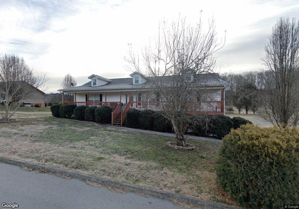
1766 Tahoe Trail Sevierville, TN 37876
Estimated Value: $345,761 - $371,000
--
Bed
2
Baths
1,680
Sq Ft
$213/Sq Ft
Est. Value
About This Home
This home is located at 1766 Tahoe Trail, Sevierville, TN 37876 and is currently estimated at $358,381, approximately $213 per square foot. 1766 Tahoe Trail is a home located in Sevier County with nearby schools including Northview Elementary School, Catons Chapel Elementary School, and Jones Cove Elementary School.
Ownership History
Date
Name
Owned For
Owner Type
Purchase Details
Closed on
Feb 7, 2006
Sold by
Darrell Keene
Bought by
Newman John D
Current Estimated Value
Home Financials for this Owner
Home Financials are based on the most recent Mortgage that was taken out on this home.
Original Mortgage
$131,665
Outstanding Balance
$79,194
Interest Rate
7.38%
Estimated Equity
$279,187
Purchase Details
Closed on
Jun 30, 2005
Sold by
Roberts William F
Bought by
Darrell Keene
Purchase Details
Closed on
Jun 5, 2004
Bought by
Roberts William F
Create a Home Valuation Report for This Property
The Home Valuation Report is an in-depth analysis detailing your home's value as well as a comparison with similar homes in the area
Home Values in the Area
Average Home Value in this Area
Purchase History
| Date | Buyer | Sale Price | Title Company |
|---|---|---|---|
| Newman John D | $154,900 | -- | |
| Darrell Keene | $60,000 | -- | |
| Roberts William F | $57,800 | -- |
Source: Public Records
Mortgage History
| Date | Status | Borrower | Loan Amount |
|---|---|---|---|
| Open | Roberts William F | $131,665 |
Source: Public Records
Tax History Compared to Growth
Tax History
| Year | Tax Paid | Tax Assessment Tax Assessment Total Assessment is a certain percentage of the fair market value that is determined by local assessors to be the total taxable value of land and additions on the property. | Land | Improvement |
|---|---|---|---|---|
| 2025 | $673 | $45,450 | $7,500 | $37,950 |
| 2024 | $673 | $45,450 | $7,500 | $37,950 |
| 2023 | $673 | $45,450 | $0 | $0 |
| 2022 | $673 | $45,450 | $7,500 | $37,950 |
| 2021 | $673 | $45,450 | $7,500 | $37,950 |
| 2020 | $700 | $45,450 | $7,500 | $37,950 |
| 2019 | $700 | $37,625 | $7,500 | $30,125 |
| 2018 | $700 | $37,625 | $7,500 | $30,125 |
| 2017 | $700 | $37,625 | $7,500 | $30,125 |
| 2016 | $700 | $37,625 | $7,500 | $30,125 |
| 2015 | -- | $35,500 | $0 | $0 |
| 2014 | $579 | $35,510 | $0 | $0 |
Source: Public Records
Map
Nearby Homes
- 1934 River Vista Cir
- 2017 Malibu Ct
- 1924 River Vista Cir
- 1719 Tahoe Trail
- 1718 Watauga St
- 1826 Watauga St
- 0 Chances Ridge Dr
- 1843 River Vista Cir
- 1998 Tranquility Ln
- 2725 River Island Blvd
- 1861 Big Buck Ln
- 1870 Big Buck Ln
- 2067 Highpoint Ln
- 9624 Gunnies Dr
- 1761 Rays Gap Rd
- 0 Highpoint Dr Unit 1250528
- 1923 Big Chiefs Skyview Dr
- 1520 Rosewood Dr
- 2216 French Broad River Rd
- The Stratford Plan at The Farm at Riverbend - Craftsman
- 1772 Tahoe Trail
- 1769 Tahoe Trail
- 1760 Tahoe Trail
- 1765 Tahoe Trail
- Lot 73 Malibu Ct
- 1773 Tahoe Trail
- 1778 Tahoe Trail
- 1759 Tahoe Trail
- 0 Malibu Court Lot 72 Unit 935424
- 0 Malibu Court Lot 71 Unit 935420
- 1753 Tahoe Trail
- 1752 Tahoe Trail
- 1779 Tahoe Trail
- 1748 Tahoe
- 1784 Tahoe Trail
- 0 Malibu Ct Unit 873357
- 0 Malibu Ct Unit 998030
- 0 Malibu Ct Unit 1082458
- 0 Malibu Ct Unit 1082459
- Lot #74 Malibu Ct