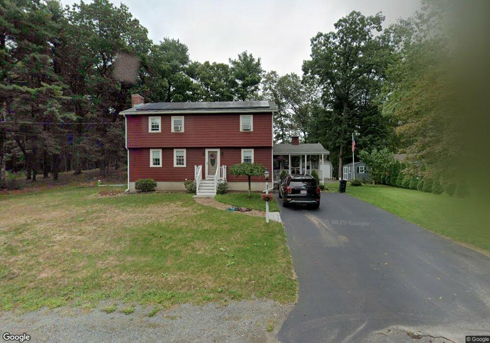
1766 West St Wrentham, MA 02093
West Wrentham NeighborhoodEstimated Value: $620,222 - $737,000
4
Beds
2
Baths
2,039
Sq Ft
$326/Sq Ft
Est. Value
About This Home
This home is located at 1766 West St, Wrentham, MA 02093 and is currently estimated at $664,556, approximately $325 per square foot. 1766 West St is a home located in Norfolk County with nearby schools including Delaney Elementary School, Charles E Roderick, and Benjamin Franklin Classical Charter Public School.
Ownership History
Date
Name
Owned For
Owner Type
Purchase Details
Closed on
Nov 14, 2024
Sold by
Andrews John D
Bought by
Andrews Braden and Andrews Matthew
Current Estimated Value
Purchase Details
Closed on
Sep 23, 1968
Bought by
Andrews John D and Andrews Margaret A
Create a Home Valuation Report for This Property
The Home Valuation Report is an in-depth analysis detailing your home's value as well as a comparison with similar homes in the area
Home Values in the Area
Average Home Value in this Area
Purchase History
| Date | Buyer | Sale Price | Title Company |
|---|---|---|---|
| Andrews Braden | -- | None Available | |
| Andrews John D | -- | None Available | |
| Andrews Braden | -- | None Available | |
| Andrews John D | -- | -- |
Source: Public Records
Mortgage History
| Date | Status | Borrower | Loan Amount |
|---|---|---|---|
| Previous Owner | Andrews John D | $15,000 | |
| Previous Owner | Andrews John D | $56,500 |
Source: Public Records
Tax History
| Year | Tax Paid | Tax Assessment Tax Assessment Total Assessment is a certain percentage of the fair market value that is determined by local assessors to be the total taxable value of land and additions on the property. | Land | Improvement |
|---|---|---|---|---|
| 2025 | $6,053 | $522,300 | $253,500 | $268,800 |
| 2024 | $5,920 | $493,300 | $253,500 | $239,800 |
| 2023 | $5,616 | $445,000 | $230,500 | $214,500 |
| 2022 | $5,519 | $403,700 | $224,300 | $179,400 |
| 2021 | $5,273 | $374,800 | $209,600 | $165,200 |
| 2020 | $4,767 | $334,500 | $160,000 | $174,500 |
| 2019 | $4,386 | $310,600 | $144,000 | $166,600 |
| 2018 | $4,463 | $313,400 | $144,200 | $169,200 |
| 2017 | $4,201 | $294,800 | $141,400 | $153,400 |
| 2016 | $4,110 | $287,800 | $137,300 | $150,500 |
| 2015 | $4,176 | $278,800 | $146,600 | $132,200 |
| 2014 | $4,132 | $269,900 | $141,000 | $128,900 |
Source: Public Records
Map
Nearby Homes
- 1620 West St
- 10 Follett Dr
- 1565 West St
- 60 Grant Ave
- 9 Reagan Ave
- 2095 West St
- 900 Washington St Lot 2
- 172 Pine Swamp Rd
- 180 Pine Swamp Rd
- 56 Pine Swamp Rd
- 25 Nature View Dr
- 365 W Wrentham Rd
- 20 Nature View Dr
- 925 Washington St
- 47 Austin Dr
- 1 Spring St
- 955 Summer St
- 732 King St
- 11 Amber Dr
- 9 Pebble Cir Unit 9
- 1782 West St
- 39 Williams St
- 1758 West St
- 1771 West St
- 1800 West St
- 54 Williams St
- 1761 West St
- 1785 West St
- 28 Williams St
- 4 Williams St
- 0 W Street 1700 Unit 72291632
- 1 Williams St
- 3 Williams St
- 5 Williams St
- 0 Williams St Unit 71641161
- 2 Williams St
- 16 Williams St
- 1807 West St
- 80 Williams St
- 89 Williams St
Your Personal Tour Guide
Ask me questions while you tour the home.