17660 Highway 59 Neosho, MO 64850
Estimated Value: $106,267
--
Bed
3
Baths
2,864
Sq Ft
$37/Sq Ft
Est. Value
About This Home
This home is located at 17660 Highway 59, Neosho, MO 64850 and is currently estimated at $106,267, approximately $37 per square foot. 17660 Highway 59 is a home located in Newton County with nearby schools including Neosho High School, Ozark Christian Academy, and Neosho Christian Schools.
Ownership History
Date
Name
Owned For
Owner Type
Purchase Details
Closed on
Aug 18, 2025
Sold by
Unified Construction Llc
Bought by
Henry Chad
Current Estimated Value
Purchase Details
Closed on
Dec 1, 2023
Sold by
Nunes Ryan and Nunes Brandi
Bought by
Unified Construction Llc
Home Financials for this Owner
Home Financials are based on the most recent Mortgage that was taken out on this home.
Original Mortgage
$72,000
Interest Rate
7.63%
Mortgage Type
New Conventional
Create a Home Valuation Report for This Property
The Home Valuation Report is an in-depth analysis detailing your home's value as well as a comparison with similar homes in the area
Home Values in the Area
Average Home Value in this Area
Purchase History
| Date | Buyer | Sale Price | Title Company |
|---|---|---|---|
| Henry Chad | -- | None Listed On Document | |
| Henry Chad | -- | None Listed On Document | |
| Unified Construction Llc | -- | None Listed On Document |
Source: Public Records
Mortgage History
| Date | Status | Borrower | Loan Amount |
|---|---|---|---|
| Previous Owner | Unified Construction Llc | $72,000 |
Source: Public Records
Tax History Compared to Growth
Tax History
| Year | Tax Paid | Tax Assessment Tax Assessment Total Assessment is a certain percentage of the fair market value that is determined by local assessors to be the total taxable value of land and additions on the property. | Land | Improvement |
|---|---|---|---|---|
| 2024 | $1,506 | $33,980 | -- | -- |
| 2023 | $1,506 | $33,980 | $5,503 | $28,477 |
| 2022 | $1,506 | $25,980 | -- | -- |
| 2021 | $1,505 | $25,980 | $0 | $0 |
| 2020 | $1,470 | $25,500 | $0 | $0 |
| 2019 | $1,346 | $25,500 | $0 | $0 |
| 2018 | $1,279 | $24,090 | $0 | $0 |
| 2016 | $1,459 | $27,520 | $0 | $0 |
| 2015 | -- | $30,750 | $0 | $0 |
| 2014 | -- | $30,750 | $0 | $0 |
Source: Public Records
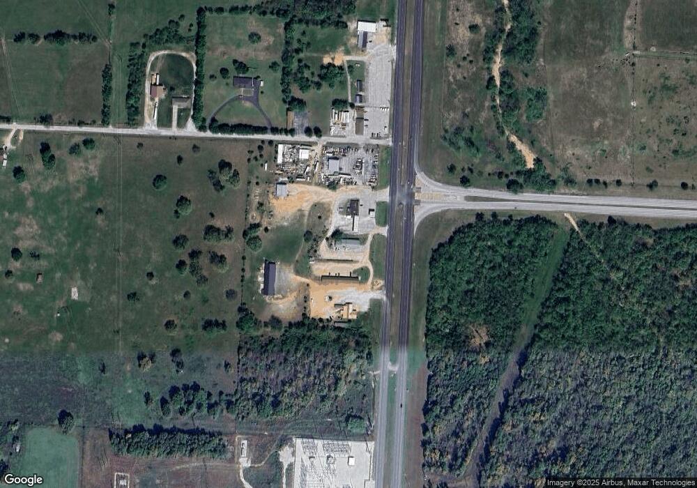
Map
Nearby Homes
- 000 Orchid Dr
- TBD Orchid Dr
- 13590 Patti Ln
- 13581 Patti Ln
- 13563 Paisley Rd
- 13691 Palm Rd
- 13665 Palm Rd
- 3521 Lusk Dr
- 1925 Sylvan Ave
- 1936 Verdant Ave
- 5.11+/- Acres Industrial Dr
- 3 Palm Rd
- 1895 Industrial Dr
- 5 Kodiak Rd
- 003 Palm Rd
- 006 Kodiak Rd
- 2808 Blue Bell Ave
- TBD Kodiak Rd & Garrow Blvd
- 000 Kodiak Road & Garrow Blvd
- 1330 Stoneledge Ln
- 17686 Highway 59
- 17710 Highway 59
- 17706 Highway 59
- 13889 Orchid Dr
- 13914 Orchid Dr
- Xxx Highway 59 & Orchid
- Xxx Hwy 59 & Orchid
- 17484 Missouri 59 Unit B
- 17484 Missouri 59 Unit D
- 17484 Missouri 59
- 17484 Highway 59 Unit D
- 17484 Highway 59 Unit C
- 17484 Highway 59 Unit B
- 17484 Highway 59 Unit A
- 13834 Orchid Dr
- 18702 Highway 59
- 18728 Highway 59
- 18888 Highway 59
- 1+/- Acre Orchid Dr
- 45 M/L Orchid Dr Unit B