17667 Dee Jay Ln Redding, CA 96003
Estimated Value: $457,000 - $587,788
4
Beds
3
Baths
2,593
Sq Ft
$197/Sq Ft
Est. Value
About This Home
This home is located at 17667 Dee Jay Ln, Redding, CA 96003 and is currently estimated at $511,697, approximately $197 per square foot. 17667 Dee Jay Ln is a home located in Shasta County with nearby schools including Redding STEM Academy.
Ownership History
Date
Name
Owned For
Owner Type
Purchase Details
Closed on
Apr 4, 2023
Sold by
Carter Joseph R and Carter Pamela M
Bought by
Joseph And Pamela Carter 2023 Family Trust and Carter
Current Estimated Value
Purchase Details
Closed on
Mar 3, 1999
Sold by
Trust March Dean R & Rita L Tr March Fami
Bought by
Carter Joseph R and Carter Pamela M
Home Financials for this Owner
Home Financials are based on the most recent Mortgage that was taken out on this home.
Original Mortgage
$13,500
Interest Rate
6.96%
Mortgage Type
Seller Take Back
Create a Home Valuation Report for This Property
The Home Valuation Report is an in-depth analysis detailing your home's value as well as a comparison with similar homes in the area
Purchase History
| Date | Buyer | Sale Price | Title Company |
|---|---|---|---|
| Joseph And Pamela Carter 2023 Family Trust | -- | None Listed On Document | |
| Carter Joseph R | $22,500 | Placer Title Company |
Source: Public Records
Mortgage History
| Date | Status | Borrower | Loan Amount |
|---|---|---|---|
| Previous Owner | Carter Joseph R | $13,500 |
Source: Public Records
Tax History
| Year | Tax Paid | Tax Assessment Tax Assessment Total Assessment is a certain percentage of the fair market value that is determined by local assessors to be the total taxable value of land and additions on the property. | Land | Improvement |
|---|---|---|---|---|
| 2025 | $4,938 | $469,058 | $34,568 | $434,490 |
| 2024 | $4,844 | $459,862 | $33,891 | $425,971 |
| 2023 | $4,844 | $450,846 | $33,227 | $417,619 |
| 2022 | $4,713 | $442,007 | $32,576 | $409,431 |
| 2021 | $4,651 | $433,341 | $31,938 | $401,403 |
| 2020 | $4,631 | $428,899 | $31,611 | $397,288 |
| 2019 | $4,486 | $420,491 | $30,992 | $389,499 |
| 2018 | $4,487 | $412,247 | $30,385 | $381,862 |
| 2017 | $4,411 | $404,165 | $29,790 | $374,375 |
| 2016 | $4,216 | $396,241 | $29,206 | $367,035 |
| 2015 | $4,149 | $390,290 | $28,768 | $361,522 |
| 2014 | $4,179 | $382,646 | $28,205 | $354,441 |
Source: Public Records
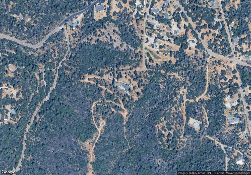
Map
Nearby Homes
- 12785 Williamson Rd
- 0000 Quail Run Rd
- 12852 Walker Ridge Dr
- 3646 Coeur d Alene Ave
- 17789 Peterson Ln
- NSA Coeur d Alene Ave
- 2.39 acres Lake Blvd
- 2455 Cana Dr
- 3753 Craftsman Ave
- 12116 Lake Blvd
- 12125 Shaver Ln
- 3963 Coeur d Alene Ave
- 13642 Hill Blvd
- 3280 Cowgill Ln
- 12125 Lake Blvd Unit 61
- 17741 Toyon Ave
- 0 Sacramento Unit 25-2120
- 13695 Lena Way
- 13741 Shasta St
- 3283 Bridgewater
- 12891 Fargo Ln
- 17711 Dee Jay Ln
- 17743 Walker Mine Rd
- 17791 Walker Mine Rd
- 17647 Walker Mine Rd
- 17599 Walker Mine Rd
- 17653 Walker Mine Rd
- 17725 Walker Mine Rd
- 17717 Walker Mine Rd
- 12936 Fargo Ln
- 12866 Flint Creek Rd
- 12864 Williams Rd
- 12864 Williamson Rd
- 12828 Williamson Rd
- 17734 Walker Mine Rd
- 12910 Beltline Rd
- 12814 Williamson Rd
- 17658 Walker Mine Rd
- 12877 Bobs Mountain Rd
- 17670 Walker Mine Rd
Your Personal Tour Guide
Ask me questions while you tour the home.