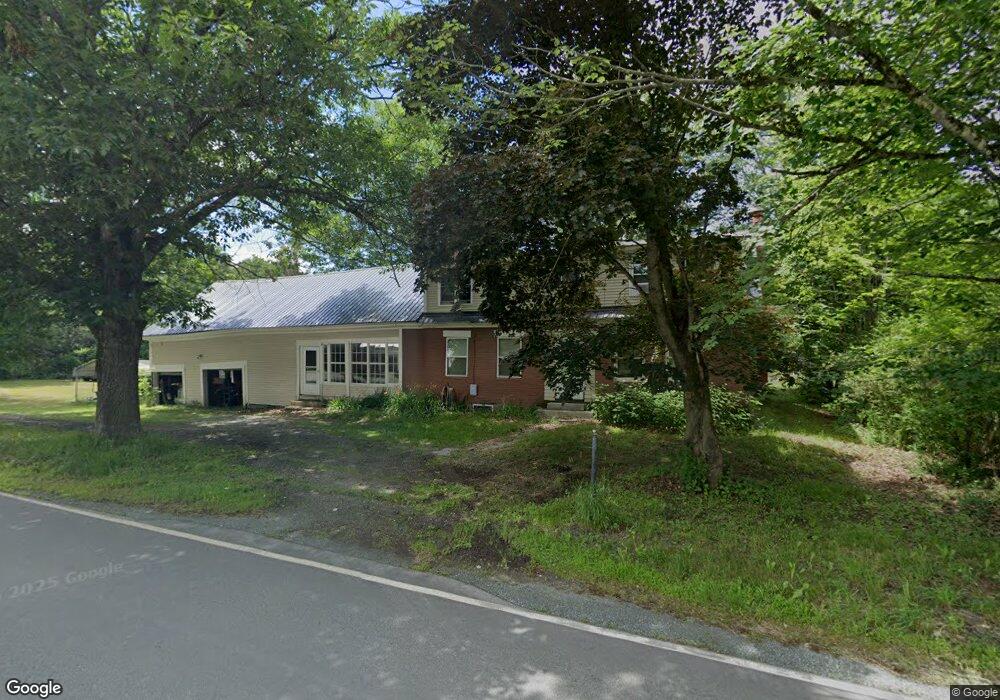
1767 Littleton Rd Monroe, NH 03771
Estimated Value: $324,521 - $509,000
2
Beds
3
Baths
3,198
Sq Ft
$138/Sq Ft
Est. Value
About This Home
This home is located at 1767 Littleton Rd, Monroe, NH 03771 and is currently estimated at $441,880, approximately $138 per square foot. 1767 Littleton Rd is a home with nearby schools including Monroe Consolidated School.
Create a Home Valuation Report for This Property
The Home Valuation Report is an in-depth analysis detailing your home's value as well as a comparison with similar homes in the area
Home Values in the Area
Average Home Value in this Area
Tax History Compared to Growth
Tax History
| Year | Tax Paid | Tax Assessment Tax Assessment Total Assessment is a certain percentage of the fair market value that is determined by local assessors to be the total taxable value of land and additions on the property. | Land | Improvement |
|---|---|---|---|---|
| 2024 | $2,890 | $271,100 | $55,100 | $216,000 |
| 2023 | $2,638 | $271,100 | $55,100 | $216,000 |
| 2022 | $1,707 | $140,000 | $46,900 | $93,100 |
| 2020 | $1,677 | $140,000 | $46,900 | $93,100 |
| 2019 | $1,588 | $140,000 | $46,900 | $93,100 |
| 2018 | $1,497 | $140,000 | $46,900 | $93,100 |
| 2016 | $1,475 | $130,100 | $39,000 | $91,100 |
| 2015 | $1,369 | $130,100 | $39,000 | $91,100 |
| 2014 | $1,580 | $131,800 | $39,000 | $92,800 |
| 2012 | $1,892 | $167,000 | $43,000 | $124,000 |
Source: Public Records
Map
Nearby Homes
- 396 Nelson Rd
- 1291 Littleton Rd
- 1573 Us Route 5 S
- 342 Grange Hall Rd
- 286 Carter St
- 88 Mill Hill
- 433 Grange Hall Rd
- 00 Coppermine Rd Unit 59
- 391 Bimson Dr
- 0 Denio Rd Unit 5059200
- 0 Denio Rd Unit 5059211
- 0 Denio Rd Unit 5059215
- 0 Denio Rd Unit 24587948
- 0 Denio Rd
- 0 Denio Rd Unit 5059206
- 0 Denio Rd Unit 24587953
- - Denio Rd
- 4615 U S 5
- 4706 Us Route 5 S
- 1374 Old Silo Rd