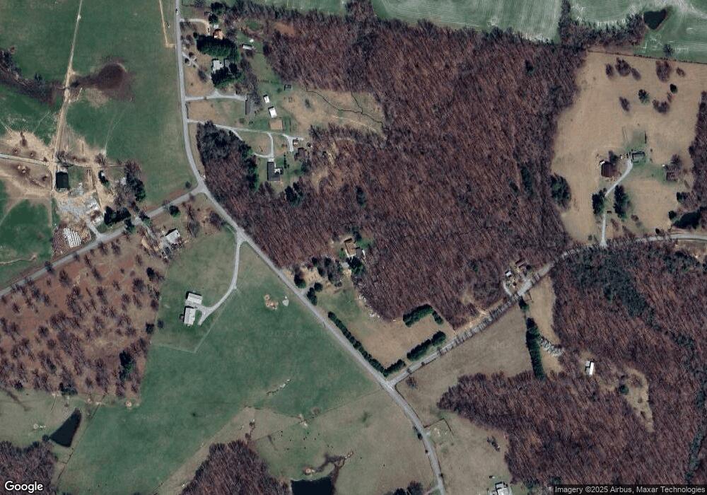
1767 Mayland Rd Crossville, TN 38571
Estimated Value: $236,000 - $324,000
2
Beds
1
Bath
1,498
Sq Ft
$187/Sq Ft
Est. Value
About This Home
This home is located at 1767 Mayland Rd, Crossville, TN 38571 and is currently estimated at $279,914, approximately $186 per square foot. 1767 Mayland Rd is a home located in Cumberland County with nearby schools including Pleasant Hill Elementary School and Cumberland County High School.
Ownership History
Date
Name
Owned For
Owner Type
Purchase Details
Closed on
Jul 29, 2008
Sold by
Brier Sammie Lee
Bought by
Moore Timothy
Current Estimated Value
Home Financials for this Owner
Home Financials are based on the most recent Mortgage that was taken out on this home.
Original Mortgage
$121,125
Outstanding Balance
$79,420
Interest Rate
6.31%
Estimated Equity
$200,494
Purchase Details
Closed on
Feb 7, 1996
Sold by
Huxoll George H
Bought by
Brier Sammie
Purchase Details
Closed on
Dec 10, 1991
Bought by
Huxoll George H and Huxoll Lavon B
Create a Home Valuation Report for This Property
The Home Valuation Report is an in-depth analysis detailing your home's value as well as a comparison with similar homes in the area
Home Values in the Area
Average Home Value in this Area
Purchase History
| Date | Buyer | Sale Price | Title Company |
|---|---|---|---|
| Moore Timothy | $142,500 | -- | |
| Brier Sammie | $88,500 | -- | |
| Huxoll George H | $60,000 | -- |
Source: Public Records
Mortgage History
| Date | Status | Borrower | Loan Amount |
|---|---|---|---|
| Open | Huxoll George H | $121,125 |
Source: Public Records
Tax History Compared to Growth
Tax History
| Year | Tax Paid | Tax Assessment Tax Assessment Total Assessment is a certain percentage of the fair market value that is determined by local assessors to be the total taxable value of land and additions on the property. | Land | Improvement |
|---|---|---|---|---|
| 2024 | $447 | $39,400 | $9,000 | $30,400 |
| 2023 | $0 | $39,400 | $0 | $0 |
| 2022 | $447 | $39,400 | $9,000 | $30,400 |
| 2021 | $366 | $23,400 | $9,000 | $14,400 |
| 2020 | $366 | $23,400 | $9,000 | $14,400 |
| 2019 | $366 | $23,400 | $9,000 | $14,400 |
| 2018 | $366 | $23,400 | $9,000 | $14,400 |
| 2017 | $387 | $23,400 | $9,000 | $14,400 |
| 2016 | $377 | $24,650 | $9,000 | $15,650 |
| 2015 | $369 | $24,650 | $9,000 | $15,650 |
| 2014 | $369 | $24,670 | $0 | $0 |
Source: Public Records
Map
Nearby Homes
- 2366 Mayland Rd
- 0 Westwood Blvd
- 688 Mayland Rd
- 58 Shady Loop
- 545 Randolph Rd
- 355 Mayland Loop
- 715 White Oak Rd
- 1899 Cow Pen Rd
- Lot 5 Clyde Place
- 95 Alisha Ln
- Lot 5 White Oak Rd
- 0 White Oak Rd Unit RTC3001699
- 0 White Oak Rd Unit 1316500
- 0 Hwy 70 N Unit 1317516
- 14765 Highway 70 N
- 672 Falls Rd
- 700 Falls Rd
- 804 Linder Loop
- 115 Spooner Dr
- 105 Spooner Dr
- 1694 Mayland Rd
- 107 Funnel Creek Rd
- 117 Spooner Dr
- 1561 Mayland Rd
- 63 Cow Pen Rd
- 1525 Mayland Rd
- 1509 Mayland Rd
- 1980 Mayland Rd
- 2007 Mayland Rd
- 398 Funnel Creek Rd
- 385 Funnel Creek Rd
- 2 Mayland Rd
- 3 Mayland Rd
- 1175 Mayland Rd
- 1212 Mayland Rd
- 2287 Mayland Rd
- 532 Funnel Creek Rd
- 2307 Mayland Rd
