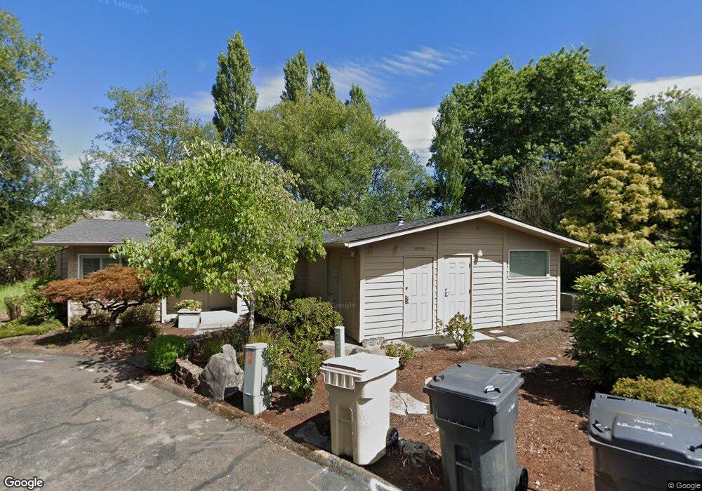
1767 NW Kings Blvd Corvallis, OR 97330
Northwest Corvallis NeighborhoodEstimated Value: $377,145
--
Bed
--
Bath
1,298
Sq Ft
$291/Sq Ft
Est. Value
About This Home
This home is located at 1767 NW Kings Blvd, Corvallis, OR 97330 and is currently estimated at $377,145, approximately $290 per square foot. 1767 NW Kings Blvd is a home located in Benton County with nearby schools including Garfield Elementary School, Linus Pauling Middle School, and Corvallis High School.
Ownership History
Date
Name
Owned For
Owner Type
Purchase Details
Closed on
Oct 29, 2024
Sold by
Omnigen Research Llc
Bought by
Robert A Livingston Property Holding Llc
Current Estimated Value
Home Financials for this Owner
Home Financials are based on the most recent Mortgage that was taken out on this home.
Original Mortgage
$292,000
Outstanding Balance
$273,849
Interest Rate
6.08%
Mortgage Type
New Conventional
Estimated Equity
$103,296
Purchase Details
Closed on
Apr 29, 2008
Sold by
Clark Curtis M
Bought by
Omnigen Research Llc
Home Financials for this Owner
Home Financials are based on the most recent Mortgage that was taken out on this home.
Original Mortgage
$210,000
Interest Rate
5.81%
Mortgage Type
Commercial
Purchase Details
Closed on
May 1, 2002
Sold by
Warren H Dale and Warren Lila Louise
Bought by
Clark Dmd Curtis M
Purchase Details
Closed on
Mar 3, 1994
Bought by
Omnigen Research Llc
Create a Home Valuation Report for This Property
The Home Valuation Report is an in-depth analysis detailing your home's value as well as a comparison with similar homes in the area
Home Values in the Area
Average Home Value in this Area
Purchase History
| Date | Buyer | Sale Price | Title Company |
|---|---|---|---|
| Robert A Livingston Property Holding Llc | $365,000 | Ticor Title | |
| Omnigen Research Llc | $265,000 | Ticor Title | |
| Clark Dmd Curtis M | $165,000 | Ticor Title Insurance Compan | |
| Omnigen Research Llc | $125,000 | -- |
Source: Public Records
Mortgage History
| Date | Status | Borrower | Loan Amount |
|---|---|---|---|
| Open | Robert A Livingston Property Holding Llc | $292,000 | |
| Previous Owner | Omnigen Research Llc | $210,000 |
Source: Public Records
Tax History Compared to Growth
Tax History
| Year | Tax Paid | Tax Assessment Tax Assessment Total Assessment is a certain percentage of the fair market value that is determined by local assessors to be the total taxable value of land and additions on the property. | Land | Improvement |
|---|---|---|---|---|
| 2024 | $5,066 | $263,732 | -- | -- |
| 2023 | $4,770 | $256,050 | $0 | $0 |
| 2022 | $4,774 | $248,592 | $0 | $0 |
| 2021 | $4,478 | $241,351 | $0 | $0 |
| 2020 | $4,453 | $234,321 | $0 | $0 |
| 2019 | $4,105 | $227,496 | $0 | $0 |
| 2018 | $4,126 | $220,870 | $0 | $0 |
| 2017 | $3,817 | $214,437 | $0 | $0 |
| 2016 | $3,801 | $208,191 | $0 | $0 |
| 2015 | $3,721 | $202,127 | $0 | $0 |
| 2014 | $3,625 | $196,240 | $0 | $0 |
| 2012 | -- | $184,975 | $0 | $0 |
Source: Public Records
Map
Nearby Homes
- 1730 NW 13th St
- 1430 NW 15th St
- 2040 NW 23rd St
- 1925 NW 14th St
- 1805 NW Grant Ave
- 1524 NW Forestgreen Ave
- 1583 NW Forestgreen Ave
- 1230 NW 23rd St
- 1225 NW 18th St
- 1835 NW Juniper Place
- 1919 NW Buchanan Ave
- 2941 NW Elmwood Dr
- 1720 NW Division St
- 1355 NW 11th St
- 2125 NW Highland Dr
- 2717 NW Rolling Green Dr
- 1100 NW Dixon St
- 3032 NW Grant Ave
- 2880 NW Lincoln Ave
- 2005 NW Taylor Ave
- 1763 NW Kings Blvd
- 1795 NW Arthur Cir
- 1785 NW Arthur Cir
- 1755 NW Kings Blvd
- 1805 NW Arthur Cir
- 1775 NW Arthur Cir
- 1745 NW Kings Blvd
- 1815 NW Arthur Cir
- 2053 NW Arthur Place
- 1765 NW Arthur Cir
- 2041 NW Arthur Place
- 1915 NW Arthur Ave
- 2065 NW Arthur Place
- 1740 NW Arthur Cir
- 1730 NW Arthur Cir
- 1750 NW Arthur Cir
- 1720 NW Arthur Cir
- 1760 NW Arthur Cir
- 1755 NW Arthur Cir
- 2077 NW Arthur Place