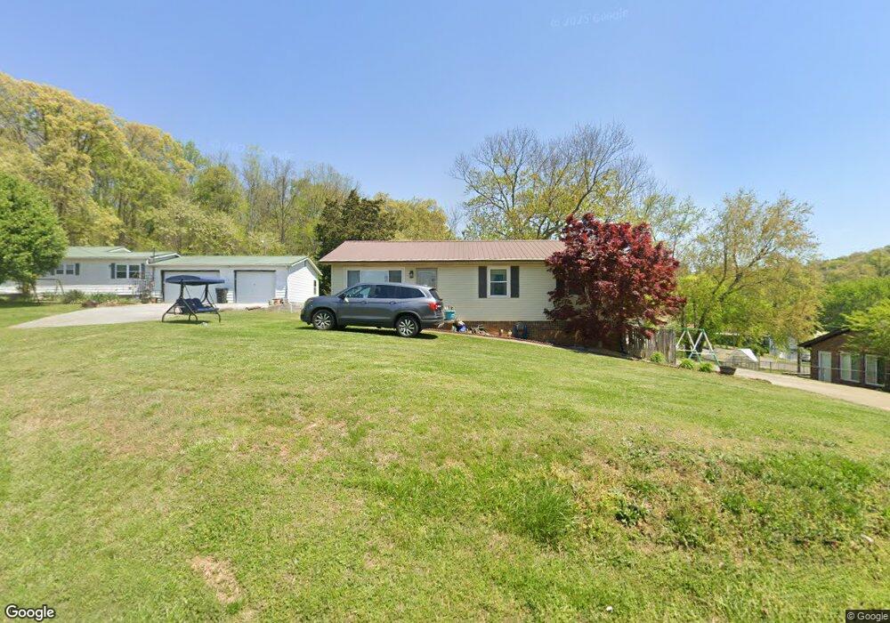
1768 Mcbride Rd Morristown, TN 37814
Estimated Value: $183,000 - $257,000
Studio
2
Baths
1,118
Sq Ft
$195/Sq Ft
Est. Value
About This Home
This home is located at 1768 Mcbride Rd, Morristown, TN 37814 and is currently estimated at $218,565, approximately $195 per square foot. 1768 Mcbride Rd is a home located in Hamblen County with nearby schools including Manley Elementary School, West View Middle School, and Morristown West High School.
Ownership History
Date
Name
Owned For
Owner Type
Purchase Details
Closed on
Mar 4, 2016
Sold by
Talley William Frank
Bought by
Talley William Frank
Current Estimated Value
Home Financials for this Owner
Home Financials are based on the most recent Mortgage that was taken out on this home.
Original Mortgage
$97,781
Outstanding Balance
$40,555
Interest Rate
3.72%
Mortgage Type
FHA
Estimated Equity
$178,010
Purchase Details
Closed on
Dec 6, 2004
Sold by
Dwaine Evans C
Bought by
Frank Talley William
Home Financials for this Owner
Home Financials are based on the most recent Mortgage that was taken out on this home.
Original Mortgage
$82,900
Interest Rate
8.75%
Purchase Details
Closed on
Nov 1, 1989
Bought by
Francis Deloris J Roark
Purchase Details
Closed on
May 21, 1976
Bought by
Francis Delores R
Create a Home Valuation Report for This Property
The Home Valuation Report is an in-depth analysis detailing your home's value as well as a comparison with similar homes in the area
Home Values in the Area
Average Home Value in this Area
Purchase History
| Date | Buyer | Sale Price | Title Company |
|---|---|---|---|
| Talley William Frank | -- | -- | |
| Frank Talley William | $82,900 | -- | |
| Francis Deloris J Roark | -- | -- | |
| Francis Delores R | -- | -- |
Source: Public Records
Mortgage History
| Date | Status | Borrower | Loan Amount |
|---|---|---|---|
| Open | Talley William Frank | $97,781 | |
| Previous Owner | Francis Delores R | $82,900 |
Source: Public Records
Tax History
| Year | Tax Paid | Tax Assessment Tax Assessment Total Assessment is a certain percentage of the fair market value that is determined by local assessors to be the total taxable value of land and additions on the property. | Land | Improvement |
|---|---|---|---|---|
| 2025 | $761 | $51,800 | $7,250 | $44,550 |
| 2024 | $536 | $27,200 | $4,350 | $22,850 |
| 2023 | $536 | $27,200 | $0 | $0 |
| 2022 | $536 | $27,200 | $4,350 | $22,850 |
| 2021 | $536 | $27,200 | $4,350 | $22,850 |
| 2020 | $536 | $27,200 | $4,350 | $22,850 |
| 2019 | $511 | $23,975 | $4,025 | $19,950 |
| 2018 | $511 | $23,975 | $4,025 | $19,950 |
| 2017 | $486 | $23,975 | $4,025 | $19,950 |
| 2016 | $454 | $22,800 | $4,025 | $18,775 |
| 2015 | $422 | $22,800 | $4,025 | $18,775 |
| 2014 | -- | $22,800 | $4,025 | $18,775 |
| 2013 | -- | $24,375 | $0 | $0 |
Source: Public Records
Map
Nearby Homes
- 1638 Mcbride Rd
- 1626 Mcbride Rd
- 0 Mcbride Rd
- 1711 Christmas Dr
- 1701 Old Oak Ln
- 1521 Dougherty Dr
- 1075 St Ives Ct
- 2241 Le Conte St
- 1054 Colonial Dr
- 3084 Apostle Rd
- 1415 Bonneville Dr
- 720 White Oak Cir
- Lot 53 Zimmerman Dr
- 1325 Doyal Dr
- 2978 Wilshire Blvd
- 3641 Meadowland Dr
- 1987 Joe Stephens Rd
- 801 Colonial Dr
- 293 Inlet
- 0 Graystone Shoals Unit 1324304
- 1748 Mcbride Rd
- 1798 Mcbride Rd
- 2449 Holder Dr
- 2433 Holder Dr
- 1795 Mcbride Rd
- 2466 Holder Dr
- 2444 Holder Dr
- 1808 Mcbride Rd
- 2417 Holder Dr
- 2500 Holder Dr
- 2428 Holder Dr
- 2389 Holder Dr
- 1676 Mcbride Rd
- 1714 Mcbride Rd
- 2390 Holder Dr
- 1656 Mcbride Rd
- 1825 Mcbride Rd
- 2354 Holder Dr
- 2355 Holder Dr
- 1701 Jellicorse Rd
Your Personal Tour Guide
Ask me questions while you tour the home.