Estimated Value: $272,000 - $430,376
3
Beds
1
Bath
1,335
Sq Ft
$261/Sq Ft
Est. Value
About This Home
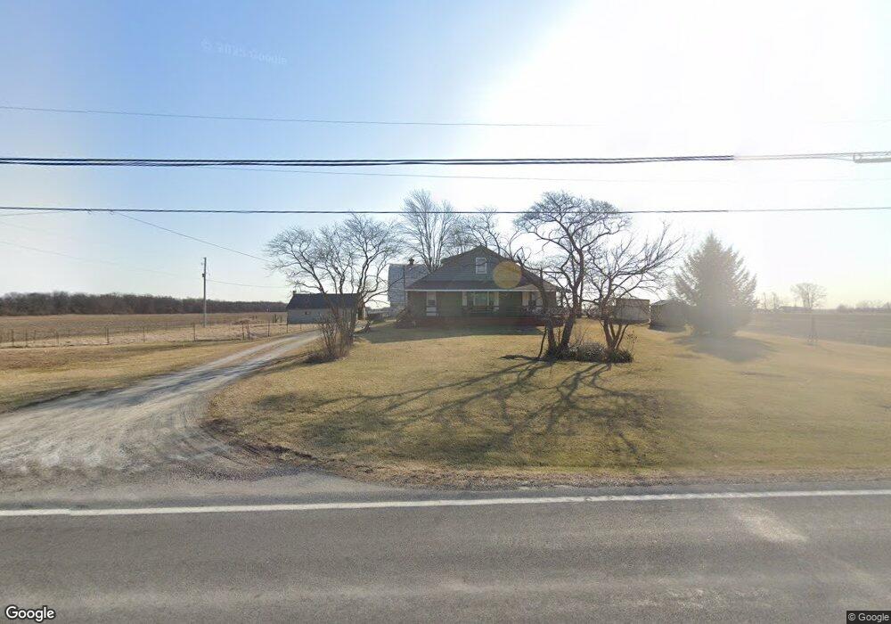
This home is located at 1768 State Route 235, Ada, OH 45810 and is currently estimated at $348,125, approximately $260 per square foot. 1768 State Route 235 is a home located in Hardin County with nearby schools including Ada Elementary School and Ada High School.
Ownership History
Date
Name
Owned For
Owner Type
Purchase Details
Closed on
Jun 12, 2024
Sold by
Stephenson Jacqueline Ruth
Bought by
James William E and James Cynthia M
Current Estimated Value
Purchase Details
Closed on
Apr 19, 2017
Bought by
Jacqueline Ruth Stephenson
Purchase Details
Closed on
Mar 19, 1996
Bought by
Fisher Betty R
Purchase Details
Closed on
Oct 11, 1985
Create a Home Valuation Report for This Property
The Home Valuation Report is an in-depth analysis detailing your home's value as well as a comparison with similar homes in the area
Purchase History
| Date | Buyer | Sale Price | Title Company |
|---|---|---|---|
| James William E | $308,060 | None Listed On Document | |
| Jacqueline Ruth Stephenson | -- | -- | |
| Fisher Betty R | -- | -- | |
| -- | -- | -- |
Source: Public Records
Tax History
| Year | Tax Paid | Tax Assessment Tax Assessment Total Assessment is a certain percentage of the fair market value that is determined by local assessors to be the total taxable value of land and additions on the property. | Land | Improvement |
|---|---|---|---|---|
| 2024 | $1,806 | $75,370 | $42,080 | $33,290 |
| 2023 | $1,780 | $75,370 | $42,080 | $33,290 |
| 2022 | $1,659 | $38,350 | $20,240 | $18,110 |
| 2021 | $1,831 | $38,350 | $20,240 | $18,110 |
| 2020 | $1,852 | $38,350 | $20,240 | $18,110 |
| 2019 | $2,312 | $48,480 | $32,270 | $16,210 |
| 2018 | $2,266 | $48,480 | $32,270 | $16,210 |
| 2017 | $1,438 | $58,840 | $42,630 | $16,210 |
| 2016 | $3,669 | $84,460 | $68,830 | $15,630 |
| 2015 | $3,614 | $84,460 | $68,830 | $15,630 |
| 2014 | $6,965 | $84,460 | $68,830 | $15,630 |
| 2013 | $3,743 | $53,040 | $37,300 | $15,740 |
Source: Public Records
Map
Nearby Homes
- 746 N Main St Unit 61
- 746 N Main St Unit 63
- 746 N Main St Unit 74
- 746 N Main St Unit 9
- 746 N Main St Unit 35
- 746 N Main St Unit 5
- 746 N Main St Unit 39
- 724 N Main St
- 629 N Main St
- 503 E North Ave
- 327 W North Ave
- 530 N Main St
- 442 Edwards St
- 420 N Simon St
- 210 N Gilbert St
- 211 S Main St
- 308-310 S Simon St
- 510 E Lehr Ave Unit 510R
- 314 E University Ave
- 710 S Main St
- 1840 State Route 235
- 1687 State Route 235
- 1733 State Route 235
- 1915 Ohio 235
- 1954 State Route 235
- 1954 Sr
- 1566 Sr
- 1566 State Route 235
- 1611 State Route 235
- 1915 State Route 235
- 2017 State Route 235
- 2017 Sr
- 2972 Tr 30
- 2910 Tr 30
- 1503 State Route 235
- 1503 Sr
- 2014 Sr
- 2892 Township Road 30
- 1485 State Route 235
Your Personal Tour Guide
Ask me questions while you tour the home.