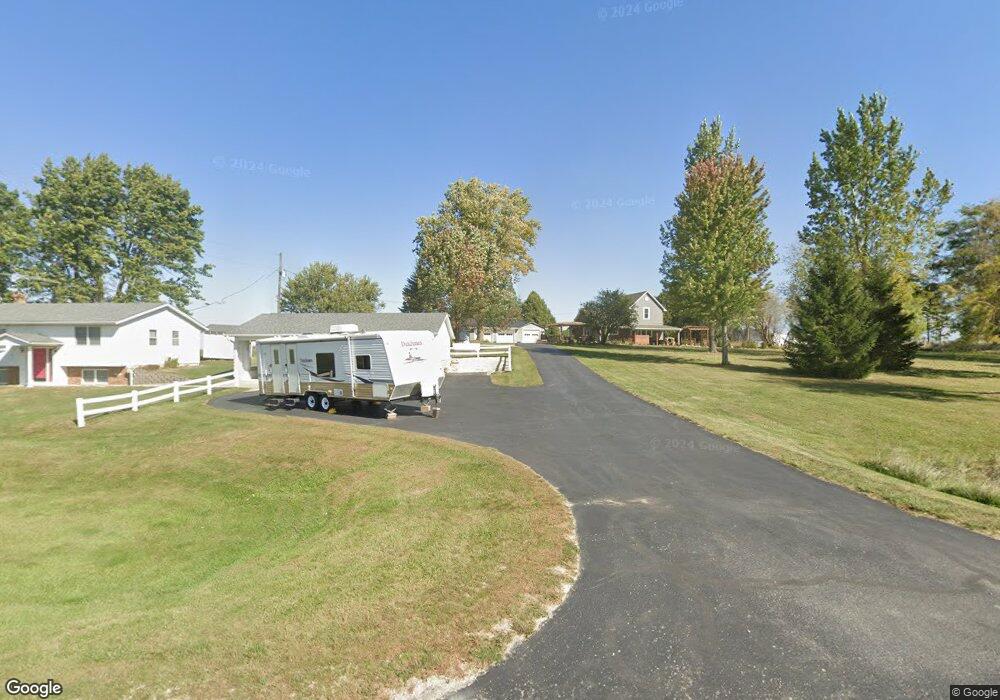
17687 Highway 56 Elkader, IA 52043
Estimated Value: $192,000 - $266,929
2
Beds
3
Baths
1,264
Sq Ft
$181/Sq Ft
Est. Value
About This Home
This home is located at 17687 Highway 56, Elkader, IA 52043 and is currently estimated at $228,232, approximately $180 per square foot. 17687 Highway 56 is a home with nearby schools including Central Elementary School and Central Middle School/High School.
Ownership History
Date
Name
Owned For
Owner Type
Purchase Details
Closed on
Aug 13, 2015
Sold by
Wiegman Russell F
Bought by
Wemark Robert E and Brincks Jenna J
Current Estimated Value
Home Financials for this Owner
Home Financials are based on the most recent Mortgage that was taken out on this home.
Original Mortgage
$128,758
Outstanding Balance
$100,991
Interest Rate
4.03%
Mortgage Type
New Conventional
Estimated Equity
$127,241
Create a Home Valuation Report for This Property
The Home Valuation Report is an in-depth analysis detailing your home's value as well as a comparison with similar homes in the area
Home Values in the Area
Average Home Value in this Area
Purchase History
| Date | Buyer | Sale Price | Title Company |
|---|---|---|---|
| Wemark Robert E | $133,000 | None Available |
Source: Public Records
Mortgage History
| Date | Status | Borrower | Loan Amount |
|---|---|---|---|
| Open | Wemark Robert E | $128,758 |
Source: Public Records
Tax History Compared to Growth
Tax History
| Year | Tax Paid | Tax Assessment Tax Assessment Total Assessment is a certain percentage of the fair market value that is determined by local assessors to be the total taxable value of land and additions on the property. | Land | Improvement |
|---|---|---|---|---|
| 2025 | $2,126 | $217,075 | $60,720 | $156,355 |
| 2024 | $2,060 | $182,142 | $52,800 | $129,342 |
| 2023 | $1,916 | $182,142 | $52,800 | $129,342 |
| 2022 | $1,848 | $146,087 | $45,240 | $100,847 |
| 2021 | $1,724 | $146,087 | $45,240 | $100,847 |
| 2020 | $1,724 | $132,513 | $38,960 | $93,553 |
| 2019 | $1,664 | $128,018 | $38,960 | $89,058 |
| 2018 | $1,664 | $124,744 | $38,960 | $85,784 |
| 2017 | $1,670 | $127,394 | $38,960 | $88,434 |
| 2015 | $1,098 | $102,285 | $31,680 | $70,605 |
| 2014 | $1,086 | $89,683 | $22,608 | $67,075 |
Source: Public Records
Map
Nearby Homes
- 710 Woodland Dr NW
- 707 N Main St
- 702 N Main St
- 301 N 1st St
- 247 Franzen Ridge Rd
- 249 Franzen Ridge Rd
- 209 2nd St SW
- 117 S Main St
- 302 N 3rd St
- 0 E Bridge St
- 14149 Iowa 56
- 27766 Highway 13
- TBD Country Rd
- 0 13 Hwy Unit NBR20255145
- TBD Birch Rd
- 10766 Bush Rd
- 305 S Russell St
- Tbd Acorn Rd
- Tbd Acorn Rd
- TBD Acorn Rd
- 17685 Highway 56
- 17867 Highway 56
- 17546 Highway 56
- 24771 Dolphin Ave
- 17886 Highway 56
- 17467 Highway 56
- 24651 Dolphin Ave
- 25004 Edgewood Ave
- 24906 Edgewood Ave
- 24854 Edgewood Ave
- 24998 Edgewood Ave
- 24762 Edgewood Ave
- 25285 Dolphin Ave
- 25285 Dolphin Ave
- 17449 Highway 56
- 18051 Highway 56
- 18195 Domino Rd
- 18286 Highway 56
- 24514 Delta Ave
- 18527 Enamel Rd