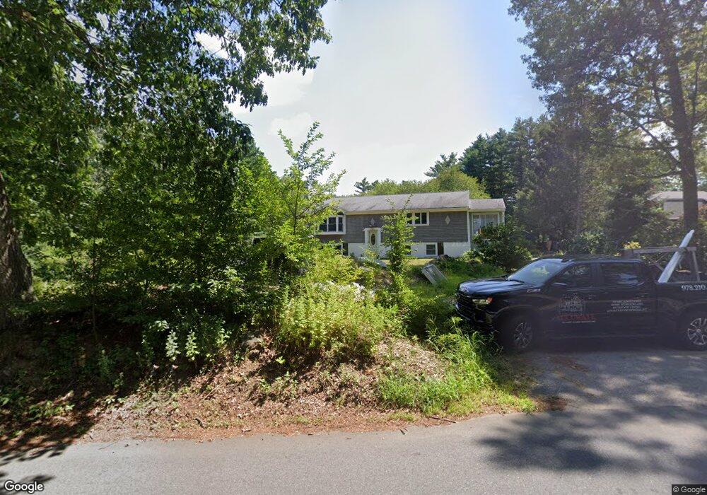
176R King St Groveland, MA 01834
Estimated Value: $836,000 - $958,000
3
Beds
3
Baths
2,812
Sq Ft
$326/Sq Ft
Est. Value
About This Home
This home is located at 176R King St, Groveland, MA 01834 and is currently estimated at $918,049, approximately $326 per square foot. 176R King St is a home located in Essex County with nearby schools including Pentucket Regional High School.
Create a Home Valuation Report for This Property
The Home Valuation Report is an in-depth analysis detailing your home's value as well as a comparison with similar homes in the area
Home Values in the Area
Average Home Value in this Area
Tax History Compared to Growth
Tax History
| Year | Tax Paid | Tax Assessment Tax Assessment Total Assessment is a certain percentage of the fair market value that is determined by local assessors to be the total taxable value of land and additions on the property. | Land | Improvement |
|---|---|---|---|---|
| 2025 | $11,009 | $867,500 | $277,100 | $590,400 |
| 2024 | $10,454 | $772,100 | $235,200 | $536,900 |
| 2023 | $9,542 | $726,700 | $213,600 | $513,100 |
| 2022 | $9,365 | $647,200 | $190,100 | $457,100 |
| 2021 | $8,978 | $609,900 | $172,700 | $437,200 |
| 2020 | $8,264 | $588,200 | $158,600 | $429,600 |
| 2019 | $7,759 | $540,700 | $157,400 | $383,300 |
| 2018 | $7,595 | $517,000 | $149,500 | $367,500 |
| 2017 | $7,319 | $498,600 | $149,500 | $349,100 |
| 2016 | $7,033 | $466,100 | $141,700 | $324,400 |
| 2015 | $6,688 | $457,800 | $133,800 | $324,000 |
| 2014 | $6,547 | $434,700 | $133,800 | $300,900 |
Source: Public Records
Map
Nearby Homes
- 231 W Main St
- 206 W Main St Unit 3
- 206 W Main St Unit 5
- 206 W Main St Unit 6
- 206 W Main St Unit 4
- Lot 9 Katie Ln
- Lot 8 Katie Ln
- 603 Alyssa Dr Unit 603
- 7 Yale St
- Lot 11A King St
- 98 King St
- 89 King St
- 1 Atwood Ln
- 123 Pond St
- 21 Francis Ave
- 51 W Main St Unit 6
- 79 Andover St
- 425 Main St
- 34 E Main St Unit 2
- 358 Main St