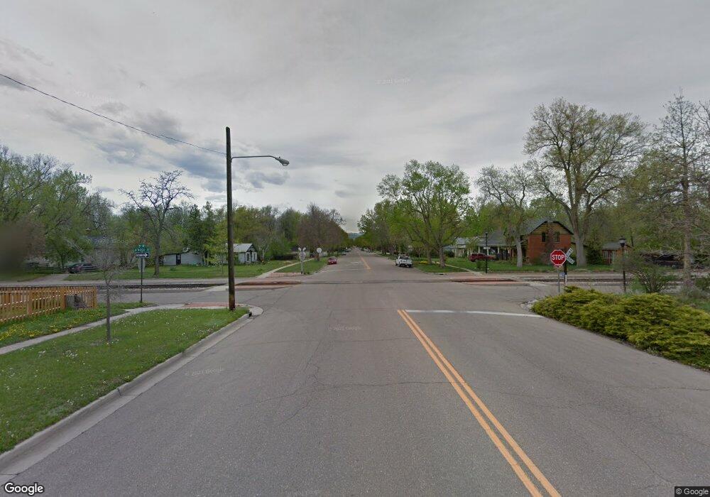
177 5th Ave Longmont, CO 80501
Kensington NeighborhoodEstimated Value: $706,589 - $1,421,000
3
Beds
1
Bath
1,740
Sq Ft
$543/Sq Ft
Est. Value
About This Home
This home is located at 177 5th Ave, Longmont, CO 80501 and is currently estimated at $945,647, approximately $543 per square foot. 177 5th Ave is a home located in Boulder County with nearby schools including Columbine Elementary School, Trail Ridge Middle School, and Skyline High School.
Ownership History
Date
Name
Owned For
Owner Type
Purchase Details
Closed on
Feb 1, 1990
Bought by
Domaratz Helen Y and Hoffman Marian L
Current Estimated Value
Purchase Details
Closed on
Jan 12, 1989
Bought by
Domaratz Helen Y and Hoffman Marian L
Purchase Details
Closed on
Sep 20, 1979
Bought by
Domaratz Helen Y and Hoffman Marian L
Purchase Details
Closed on
Mar 13, 1978
Bought by
Domaratz Helen Y and Hoffman Marian L
Create a Home Valuation Report for This Property
The Home Valuation Report is an in-depth analysis detailing your home's value as well as a comparison with similar homes in the area
Home Values in the Area
Average Home Value in this Area
Purchase History
| Date | Buyer | Sale Price | Title Company |
|---|---|---|---|
| Domaratz Helen Y | -- | -- | |
| Domaratz Helen Y | -- | -- | |
| Domaratz Helen Y | $81,500 | -- | |
| Domaratz Helen Y | $19,800 | -- |
Source: Public Records
Tax History Compared to Growth
Tax History
| Year | Tax Paid | Tax Assessment Tax Assessment Total Assessment is a certain percentage of the fair market value that is determined by local assessors to be the total taxable value of land and additions on the property. | Land | Improvement |
|---|---|---|---|---|
| 2025 | $3,374 | $44,750 | $18,675 | $26,075 |
| 2024 | $3,374 | $44,750 | $18,675 | $26,075 |
| 2023 | $3,329 | $40,622 | $17,293 | $27,014 |
| 2022 | $3,069 | $36,773 | $15,589 | $21,184 |
| 2021 | $3,109 | $37,830 | $16,037 | $21,793 |
| 2020 | $2,884 | $35,671 | $6,578 | $29,093 |
| 2019 | $2,837 | $35,671 | $6,578 | $29,093 |
| 2018 | $2,160 | $28,980 | $6,048 | $22,932 |
| 2017 | $2,034 | $32,039 | $6,686 | $25,353 |
| 2016 | $2,234 | $31,418 | $6,686 | $24,732 |
| 2015 | $2,128 | $26,730 | $8,438 | $18,292 |
| 2014 | $2,482 | $26,730 | $8,438 | $18,292 |
Source: Public Records
Map
Nearby Homes
- 428 Baker St
- 531 Atwood St
- 348 Collyer St Unit 105
- 400 Emery St Unit 302
- 400 Emery St Unit 208
- 29 Marshall Place
- 417 Emery St
- 641 Martin St
- 36 Reed Place
- 643 Collyer St
- 727 Baker St
- 104 Rothrock Place
- 149 E 6th Ave
- 736 Kimbark St
- 146 E Saint Clair Ave Unit 148
- 823 Collyer St
- 845 Martin St
- 830 Emery St
- 247 Wadsworth Cir
- 820 Kimbark St Unit D
- 117 5th Ave
- 444 Atwood St
- 157 5th Ave
- 436 Atwood St
- 0 County Road 5
- 0 County Road 5 Unit 2238438
- 0 County Road 5 Unit 403589
- 0 County Road 5 Unit 425792
- 0 County Road 5 Unit 837781
- 0 County Road 5 Unit 699658
- 0 County Road 5 Unit 757179
- 0 County Road 5 Unit 798600
- 0 County Road 5 Unit 798700
- 0 County Road 5 Unit 833257
- 0 County Road 5 Unit 833252
- 0 County Road 5 Unit 838311
- 500 Atwood St
- 447 Baker St
- 443 Baker St
- 506 Atwood St