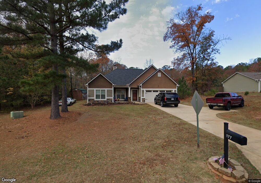
177 Amhurst Cir Unit LOT 41 West Point, GA 31833
Estimated Value: $260,813 - $303,000
3
Beds
2
Baths
1,730
Sq Ft
$167/Sq Ft
Est. Value
About This Home
This home is located at 177 Amhurst Cir Unit LOT 41, West Point, GA 31833 and is currently estimated at $288,703, approximately $166 per square foot. 177 Amhurst Cir Unit LOT 41 is a home located in Troup County with nearby schools including West Point Elementary School, Long Cane Elementary School, and Whitesville Road Elementary School.
Ownership History
Date
Name
Owned For
Owner Type
Purchase Details
Closed on
Mar 5, 2015
Sold by
Dri Amhurst Llc
Bought by
King Jamaal and Wimbush Veronica A
Current Estimated Value
Home Financials for this Owner
Home Financials are based on the most recent Mortgage that was taken out on this home.
Original Mortgage
$164,806
Outstanding Balance
$126,271
Interest Rate
3.69%
Mortgage Type
New Conventional
Estimated Equity
$162,432
Create a Home Valuation Report for This Property
The Home Valuation Report is an in-depth analysis detailing your home's value as well as a comparison with similar homes in the area
Home Values in the Area
Average Home Value in this Area
Purchase History
| Date | Buyer | Sale Price | Title Company |
|---|---|---|---|
| King Jamaal | $161,600 | -- |
Source: Public Records
Mortgage History
| Date | Status | Borrower | Loan Amount |
|---|---|---|---|
| Open | King Jamaal | $164,806 |
Source: Public Records
Tax History Compared to Growth
Tax History
| Year | Tax Paid | Tax Assessment Tax Assessment Total Assessment is a certain percentage of the fair market value that is determined by local assessors to be the total taxable value of land and additions on the property. | Land | Improvement |
|---|---|---|---|---|
| 2024 | $2,300 | $86,320 | $14,000 | $72,320 |
| 2023 | $2,362 | $88,600 | $14,000 | $74,600 |
| 2022 | $2,095 | $77,040 | $10,000 | $67,040 |
| 2021 | $2,115 | $72,120 | $10,000 | $62,120 |
| 2020 | $2,055 | $70,120 | $8,000 | $62,120 |
| 2019 | $1,940 | $66,320 | $6,000 | $60,320 |
| 2018 | $1,940 | $66,320 | $6,000 | $60,320 |
| 2017 | $1,940 | $66,320 | $6,000 | $60,320 |
| 2016 | $1,989 | $65,944 | $7,117 | $58,827 |
| 2015 | $1,510 | $49,968 | $6,000 | $43,968 |
| 2014 | $163 | $5,400 | $5,400 | $0 |
| 2013 | -- | $5,400 | $5,400 | $0 |
Source: Public Records
Map
Nearby Homes
- 4172 Bartley Rd
- 333 Shoemaker Rd
- 648 Warner Rd
- 0 Johns Rd Unit 10615130
- 208 Harris Walk Unit 80
- 0 Sandtown Rd Unit 10255987
- Sandtown Road Unit: 1 2+ - Acre
- 797 Gabbettville Rd
- 111 Tudor Way
- 311 Tomme Rd
- 143 W Drummond Rd
- 151 W Drummond Rd
- 157 W Drummond Rd
- 137 W Drummond Rd
- 131 W Drummond Rd
- 134 Garden Walk
- 202 Reed Rd
- 0 Lambert Rd
- 345 Robert Taylor Rd
- 4517 Georgia 18
- 177 Amhurst Cir
- 179 Amhurst Cir Unit LOT 42
- 179 Amhurst Cir
- 181 Amhurst Cir Unit LOT 43
- 181 Amhurst Cir
- 173 Amhurst Cir Unit LOT 39
- 173 Amhurst Cir
- 178 Amhurst Cir Unit 72
- 171 Amhurst Cir Unit LOT 38
- 171 Amhurst Cir
- 180 Amhurst Cir Unit 73
- 169 Amhurst Cir
- 169 Amhurst Cir Unit LOT 37
- 183 Amhurst Cir
- 183 Amhurst Cir Unit LOT 44
- 185 Amhurst Cir Unit LOT 45
- 187 Amhurst Cir
- 166 Amhurst Cir
- 189 Amhurst Cir
- 167 Amhurst Cir Unit LOT 36