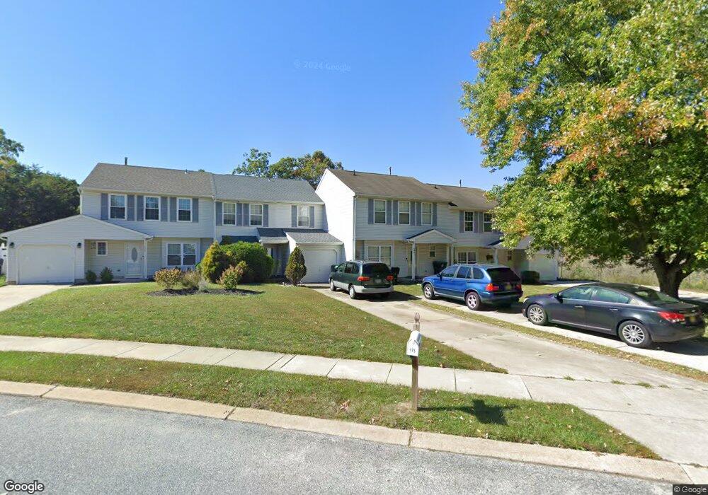
177 Baker Ave Atco, NJ 08004
Winslow Township NeighborhoodEstimated Value: $286,000 - $422,000
--
Bed
--
Bath
1,560
Sq Ft
$209/Sq Ft
Est. Value
About This Home
This home is located at 177 Baker Ave, Atco, NJ 08004 and is currently estimated at $325,963, approximately $208 per square foot. 177 Baker Ave is a home located in Camden County with nearby schools including Winslow Township High School and The Archway School.
Ownership History
Date
Name
Owned For
Owner Type
Purchase Details
Closed on
Jul 17, 2014
Sold by
Flowers John H
Bought by
Flowers Sabrina J
Current Estimated Value
Purchase Details
Closed on
Feb 15, 2000
Sold by
Lynam Margaret
Bought by
Mitchell Sabrina J and Dingee Doris L
Home Financials for this Owner
Home Financials are based on the most recent Mortgage that was taken out on this home.
Original Mortgage
$79,959
Outstanding Balance
$26,336
Interest Rate
8.11%
Mortgage Type
FHA
Estimated Equity
$299,627
Purchase Details
Closed on
Jun 27, 1994
Sold by
Bella Rene Corp
Bought by
Lynam Margaret
Home Financials for this Owner
Home Financials are based on the most recent Mortgage that was taken out on this home.
Original Mortgage
$77,000
Interest Rate
8.51%
Create a Home Valuation Report for This Property
The Home Valuation Report is an in-depth analysis detailing your home's value as well as a comparison with similar homes in the area
Home Values in the Area
Average Home Value in this Area
Purchase History
| Date | Buyer | Sale Price | Title Company |
|---|---|---|---|
| Flowers Sabrina J | -- | None Available | |
| Mitchell Sabrina J | $80,000 | -- | |
| Lynam Margaret | $81,900 | -- |
Source: Public Records
Mortgage History
| Date | Status | Borrower | Loan Amount |
|---|---|---|---|
| Open | Mitchell Sabrina J | $79,959 | |
| Previous Owner | Lynam Margaret | $77,000 |
Source: Public Records
Tax History Compared to Growth
Tax History
| Year | Tax Paid | Tax Assessment Tax Assessment Total Assessment is a certain percentage of the fair market value that is determined by local assessors to be the total taxable value of land and additions on the property. | Land | Improvement |
|---|---|---|---|---|
| 2025 | $4,659 | $119,400 | $30,000 | $89,400 |
| 2024 | $4,536 | $119,400 | $30,000 | $89,400 |
| 2023 | $4,536 | $119,400 | $30,000 | $89,400 |
| 2022 | $4,396 | $119,400 | $30,000 | $89,400 |
| 2021 | $4,346 | $119,400 | $30,000 | $89,400 |
| 2020 | $4,308 | $119,400 | $30,000 | $89,400 |
| 2019 | $4,282 | $119,400 | $30,000 | $89,400 |
| 2018 | $4,223 | $119,400 | $30,000 | $89,400 |
| 2017 | $4,148 | $119,400 | $30,000 | $89,400 |
| 2016 | $4,095 | $119,400 | $30,000 | $89,400 |
| 2015 | $4,036 | $119,400 | $30,000 | $89,400 |
| 2014 | $3,946 | $119,400 | $30,000 | $89,400 |
Source: Public Records
Map
Nearby Homes
- 104 Fenway Ave
- 194 Gibbons Ct
- 102 Shoreline Dr
- 252 Hayes Mill Rd
- 4 Bromley Ct
- 7 Brookview Dr
- Nassau Cove with Unfinished Basement Plan at Waterbury Woods 55+
- Nassau Cove on a Slab Plan at Waterbury Woods 55+
- Nassau Cove with Finished Basement Plan at Waterbury Woods 55+
- 524 White Horse Pike
- 510 White Horse Pike
- 8 Hunters Ct
- 411 Atco Ave
- 249 Girard Ave
- 0 Route 73 N Unit NJCD2106346
- 2148 Bartram Ave
- 20 Silverbell Ave Unit HD - GREENWICH
- 2216 Harrison Ave
- 58 Sweetgum Rd
- 2216 Harrison Ave