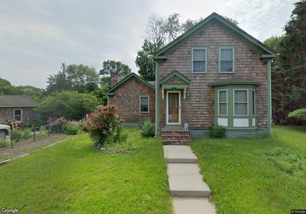
177 Branch St Mansfield, MA 02048
Estimated Value: $471,000 - $692,000
3
Beds
1
Bath
1,630
Sq Ft
$379/Sq Ft
Est. Value
About This Home
This home is located at 177 Branch St, Mansfield, MA 02048 and is currently estimated at $618,457, approximately $379 per square foot. 177 Branch St is a home located in Bristol County with nearby schools including Everett W. Robinson Elementary School, Jordan/Jackson Elementary School, and Harold L. Qualters Middle School.
Ownership History
Date
Name
Owned For
Owner Type
Purchase Details
Closed on
Jan 12, 2005
Sold by
Wade Richard A and Wade Shirley C
Bought by
Wade James L and Gillis Peter C
Current Estimated Value
Purchase Details
Closed on
Feb 2, 2000
Sold by
Murray Elizabeth J
Bought by
Wade James E
Purchase Details
Closed on
Jan 20, 2000
Sold by
Wade Gary S
Bought by
Wade Richard A
Purchase Details
Closed on
Apr 6, 1989
Sold by
Wade Craig J
Bought by
Wade Shirley C
Create a Home Valuation Report for This Property
The Home Valuation Report is an in-depth analysis detailing your home's value as well as a comparison with similar homes in the area
Home Values in the Area
Average Home Value in this Area
Purchase History
| Date | Buyer | Sale Price | Title Company |
|---|---|---|---|
| Wade James L | $200,000 | -- | |
| Wade James E | $2,000 | -- | |
| Wade James E | $2,500 | -- | |
| Wade Richard A | $2,000 | -- | |
| Wade Richard A | $2,500 | -- | |
| Wade Shirley C | $140,000 | -- |
Source: Public Records
Tax History
| Year | Tax Paid | Tax Assessment Tax Assessment Total Assessment is a certain percentage of the fair market value that is determined by local assessors to be the total taxable value of land and additions on the property. | Land | Improvement |
|---|---|---|---|---|
| 2025 | $7,187 | $545,700 | $264,500 | $281,200 |
| 2024 | $7,245 | $536,700 | $264,500 | $272,200 |
| 2023 | $7,035 | $499,300 | $264,500 | $234,800 |
| 2022 | $6,962 | $458,900 | $245,800 | $213,100 |
| 2021 | $6,513 | $424,000 | $214,400 | $209,600 |
| 2020 | $5,941 | $386,800 | $204,600 | $182,200 |
| 2019 | $5,752 | $377,900 | $171,900 | $206,000 |
| 2018 | $2,453 | $361,300 | $164,500 | $196,800 |
| 2017 | $5,308 | $353,400 | $160,200 | $193,200 |
| 2016 | $5,021 | $325,800 | $152,700 | $173,100 |
| 2015 | $4,824 | $311,200 | $152,700 | $158,500 |
Source: Public Records
Map
Nearby Homes
- 97 East St
- 7 Fieldstone Dr
- 2 N Main St Unit B201
- 1 Deer Path Ln
- 46 Hope St
- 28 Court St
- 122 Samoset Ave
- 107 Church St
- 22 Pleasant St Unit B
- 14 Windchime Dr
- 25 Kingman Ave
- 166 Chauncy St
- 631 East St Unit L101
- 28 Angell St
- 7 Liberty St
- 619 N Main St
- 19 Barberry Rd
- 212 Mill St
- 4 Erick Rd Unit 90
- 16 Holly Rd
Your Personal Tour Guide
Ask me questions while you tour the home.