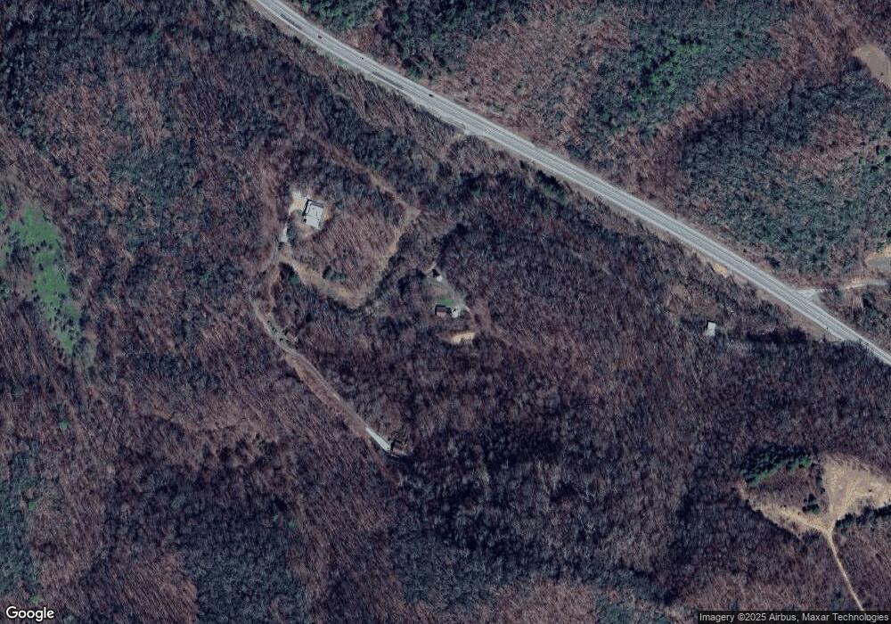
177 Cherokee Path Roan Mountain, TN 37687
Estimated Value: $227,413 - $362,000
--
Bed
2
Baths
1,152
Sq Ft
$268/Sq Ft
Est. Value
About This Home
This home is located at 177 Cherokee Path, Roan Mountain, TN 37687 and is currently estimated at $308,353, approximately $267 per square foot. 177 Cherokee Path is a home located in Carter County.
Ownership History
Date
Name
Owned For
Owner Type
Purchase Details
Closed on
Feb 8, 2011
Sold by
Spradling Stanley T
Bought by
Spradling Sean Thomas
Current Estimated Value
Purchase Details
Closed on
Jun 9, 2003
Sold by
Mcguire Gerald
Bought by
Spradling Stanley T
Purchase Details
Closed on
Apr 20, 1992
Bought by
Mcguire Gerald and Mcguire Melissa F
Purchase Details
Closed on
Aug 14, 1991
Bought by
Eller Vincent G
Purchase Details
Closed on
Nov 29, 1988
Bought by
Langrudi Mahmud T L and Langrudi Darlene
Purchase Details
Closed on
Mar 11, 1986
Bought by
Eller Vincent G
Purchase Details
Closed on
Feb 1, 1983
Create a Home Valuation Report for This Property
The Home Valuation Report is an in-depth analysis detailing your home's value as well as a comparison with similar homes in the area
Home Values in the Area
Average Home Value in this Area
Purchase History
| Date | Buyer | Sale Price | Title Company |
|---|---|---|---|
| Spradling Sean Thomas | -- | -- | |
| Spradling Stanley T | $100,000 | -- | |
| Mcguire Gerald | $28,000 | -- | |
| Eller Vincent G | $40,000 | -- | |
| Langrudi Mahmud T L | $18,000 | -- | |
| Eller Vincent G | -- | -- | |
| -- | -- | -- |
Source: Public Records
Tax History Compared to Growth
Tax History
| Year | Tax Paid | Tax Assessment Tax Assessment Total Assessment is a certain percentage of the fair market value that is determined by local assessors to be the total taxable value of land and additions on the property. | Land | Improvement |
|---|---|---|---|---|
| 2024 | $664 | $30,475 | $11,000 | $19,475 |
| 2023 | $664 | $30,475 | $0 | $0 |
| 2022 | $619 | $30,475 | $11,000 | $19,475 |
| 2021 | $619 | $30,475 | $11,000 | $19,475 |
| 2020 | $626 | $30,475 | $11,000 | $19,475 |
| 2019 | $626 | $25,325 | $8,975 | $16,350 |
| 2018 | $626 | $25,325 | $8,975 | $16,350 |
| 2017 | $626 | $25,325 | $8,975 | $16,350 |
| 2016 | $620 | $25,325 | $8,975 | $16,350 |
| 2015 | $620 | $25,325 | $8,975 | $16,350 |
| 2014 | $601 | $24,550 | $8,525 | $16,025 |
Source: Public Records
Map
Nearby Homes
- 306 Bear Branch Rd
- 113 Luke Winters Rd
- TBD Bear Branch Rd
- 121 Elisha Garland Rd
- 40 Ollis Ridge Ln
- 1196 Buck Mountain Rd
- 2873 Elk River Rd
- 292 Little Elk Rd
- 1171 Little Elk Rd
- 221 Shell Creek Rd
- 304 Elk River Rd
- 402 Turkey Knob Ln
- 110 Old Mill Rd
- 278 Winters St
- 840 Brooks Shell Rd
- 370 Woodland Hills Dr Unit 44
- 370 Woodland Hills Dr
- TBD Buck Mountain Rd
- tbd Poplar Dr
- Lot 38 May Apple Trail
- 225 Cherokee Path
- 223 Cherokee Path
- 222 Cherokee Path
- 122 Cherokee Path
- 9355 U S 19e
- 342 Beaver Creek Ln
- 172 Winters Rd
- 185 Winters Hollow Pd
- 9383 U S 19e
- 156 Winters Rd
- 194 Winters Rd
- 132 E Winters Hollow Pd
- 9367 Highway 19 E
- 187 Winters Rd
- 210 Winters Rd
- 105 Winters Rd
- 111 Winters Rd
- 111 Winters Rd
- TBD Palmer Ln
- 0 Palmer Ln
