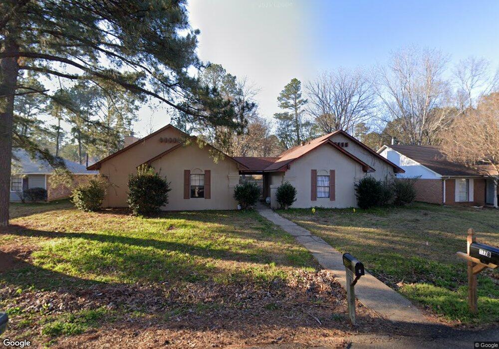
177 Cumberland Rd Unit A Brandon, MS 39047
Estimated Value: $157,395 - $217,000
2
Beds
2
Baths
1,102
Sq Ft
$170/Sq Ft
Est. Value
About This Home
This home is located at 177 Cumberland Rd Unit A, Brandon, MS 39047 and is currently estimated at $186,849, approximately $169 per square foot. 177 Cumberland Rd Unit A is a home located in Rankin County with nearby schools including Highland Bluff Elementary School, Northwest Rankin Middle School, and Northwest Rankin High School.
Ownership History
Date
Name
Owned For
Owner Type
Purchase Details
Closed on
Aug 29, 2025
Sold by
Jackie Burnley Legacy Trust and Burnley Jackie
Bought by
Huard Mary E
Current Estimated Value
Purchase Details
Closed on
Feb 20, 2025
Sold by
Burnley Jackie
Bought by
Huard Mary E
Purchase Details
Closed on
Jun 7, 2024
Sold by
Burnley Jackie
Bought by
Jackie Burnley Legacy Trust and Burnley
Purchase Details
Closed on
Jul 29, 2008
Sold by
Black Stephen T
Bought by
Burnley Joseph W and Burnley Jackie S
Home Financials for this Owner
Home Financials are based on the most recent Mortgage that was taken out on this home.
Original Mortgage
$38,500
Interest Rate
6.31%
Create a Home Valuation Report for This Property
The Home Valuation Report is an in-depth analysis detailing your home's value as well as a comparison with similar homes in the area
Purchase History
| Date | Buyer | Sale Price | Title Company |
|---|---|---|---|
| Huard Mary E | -- | None Listed On Document | |
| Huard Mary E | -- | None Listed On Document | |
| Huard Mary E | -- | None Listed On Document | |
| Huard Mary E | -- | None Listed On Document | |
| Jackie Burnley Legacy Trust | -- | None Listed On Document | |
| Jackie Burnley Legacy Trust | -- | None Listed On Document | |
| Burnley Joseph W | -- | -- |
Source: Public Records
Mortgage History
| Date | Status | Borrower | Loan Amount |
|---|---|---|---|
| Previous Owner | Burnley Joseph W | $38,500 |
Source: Public Records
Tax History
| Year | Tax Paid | Tax Assessment Tax Assessment Total Assessment is a certain percentage of the fair market value that is determined by local assessors to be the total taxable value of land and additions on the property. | Land | Improvement |
|---|---|---|---|---|
| 2025 | $1,238 | $10,904 | $0 | $0 |
| 2024 | $1,174 | $10,904 | $0 | $0 |
| 2023 | $1,042 | $9,674 | $0 | $0 |
| 2022 | $1,027 | $9,674 | $0 | $0 |
| 2021 | $1,027 | $9,674 | $0 | $0 |
| 2020 | $1,027 | $9,674 | $0 | $0 |
| 2019 | $943 | $8,657 | $0 | $0 |
| 2018 | $926 | $8,657 | $0 | $0 |
| 2017 | $926 | $8,657 | $0 | $0 |
| 2016 | $887 | $8,703 | $0 | $0 |
| 2015 | $887 | $8,703 | $0 | $0 |
| 2014 | $482 | $8,703 | $0 | $0 |
| 2013 | $482 | $8,703 | $0 | $0 |
Source: Public Records
Map
Nearby Homes
- 14 Brandy Ct S
- 1 Brandy Village Cove
- 735 Cotton Creek Trail
- 154 Cumberland Rd
- 109 Brandy Run Rd
- 613 Emerald Ct
- 117 Cumberland Rd
- 105 Brandy Run Rd
- 118 Fairfax Cir Unit B
- 118 Fairfax Cir Unit A
- 601 Emerald Ct
- 191 Bellegrove Cir
- 600 Bauxite Cove
- 125 Emerald Dr
- 169 Bellegrove Cir
- 111 B N Bent Creek Cir
- 301 Siltstone Ridge
- 111 Fairfax Cir Unit a
- 117 Shenandoah Rd N
- 813 Terrapin Ln
- 177 Cumberland Rd
- 177 Cumberland Rd
- 175 Cumberland Rd
- 175 Cumberland Rd
- 179 Cumberland Rd
- 179 Cumberland Rd
- 179 Cumberland Rd Unit B
- 173b Cumberland Rd
- 176 Cumberland Rd
- 176 Cumberland Rd
- 176 Cumberland Rd Unit A
- 176 Cumberland Rd Unit B
- 176 Cumberland Rd
- 178 Cumberland Rd
- 178 Cumberland Rd
- 178 Cumberland Rd Unit B
- 22 Brandy Ct N
- 22 Brandy Ct N
- 23 Brandy Ct N
- 173 Cumberland Rd
Your Personal Tour Guide
Ask me questions while you tour the home.