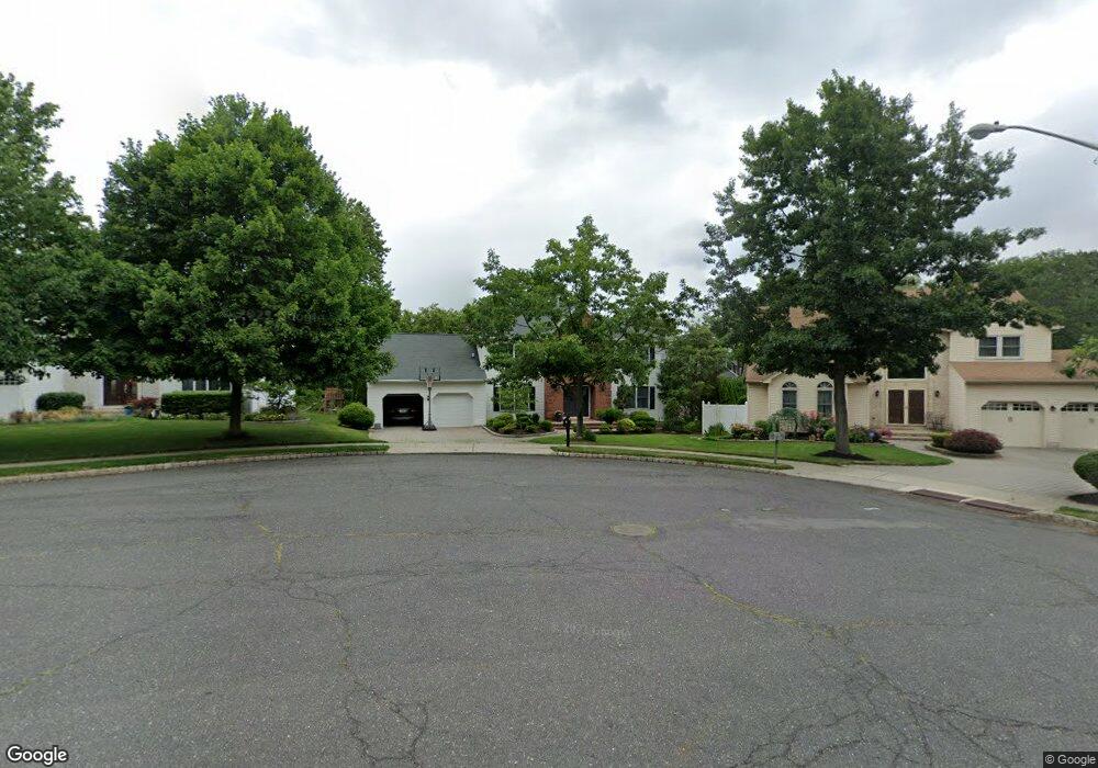
177 Frank Ln Paramus, NJ 07652
Estimated Value: $1,332,000 - $1,717,000
--
Bed
--
Bath
3,523
Sq Ft
$430/Sq Ft
Est. Value
About This Home
This home is located at 177 Frank Ln, Paramus, NJ 07652 and is currently estimated at $1,515,929, approximately $430 per square foot. 177 Frank Ln is a home located in Bergen County with nearby schools including Paramus High School, Yavneh Academy, and Visitation Academy.
Ownership History
Date
Name
Owned For
Owner Type
Purchase Details
Closed on
Oct 17, 2003
Sold by
Kim Andrew
Bought by
Lee Daniel and Lee Judy
Current Estimated Value
Home Financials for this Owner
Home Financials are based on the most recent Mortgage that was taken out on this home.
Original Mortgage
$631,200
Outstanding Balance
$290,507
Interest Rate
6.01%
Estimated Equity
$1,225,422
Purchase Details
Closed on
May 2, 1997
Sold by
Oakwood Homes Inc
Bought by
Kim Andrew Y and Kim Kyong
Home Financials for this Owner
Home Financials are based on the most recent Mortgage that was taken out on this home.
Original Mortgage
$341,000
Interest Rate
8.12%
Create a Home Valuation Report for This Property
The Home Valuation Report is an in-depth analysis detailing your home's value as well as a comparison with similar homes in the area
Home Values in the Area
Average Home Value in this Area
Purchase History
| Date | Buyer | Sale Price | Title Company |
|---|---|---|---|
| Lee Daniel | $789,000 | -- | |
| Kim Andrew Y | $455,000 | -- |
Source: Public Records
Mortgage History
| Date | Status | Borrower | Loan Amount |
|---|---|---|---|
| Open | Lee Daniel | $631,200 | |
| Previous Owner | Kim Andrew Y | $341,000 |
Source: Public Records
Tax History Compared to Growth
Tax History
| Year | Tax Paid | Tax Assessment Tax Assessment Total Assessment is a certain percentage of the fair market value that is determined by local assessors to be the total taxable value of land and additions on the property. | Land | Improvement |
|---|---|---|---|---|
| 2025 | $15,145 | $1,076,600 | $429,000 | $647,600 |
| 2024 | $14,734 | $1,000,300 | $383,800 | $616,500 |
| 2023 | $13,994 | $960,500 | $366,100 | $594,400 |
| 2022 | $13,994 | $901,700 | $342,200 | $559,500 |
| 2021 | $13,593 | $821,800 | $307,000 | $514,800 |
| 2020 | $12,915 | $809,700 | $302,000 | $507,700 |
| 2019 | $14,287 | $769,800 | $292,800 | $477,000 |
| 2018 | $14,110 | $769,800 | $292,800 | $477,000 |
| 2017 | $13,864 | $769,800 | $292,800 | $477,000 |
| 2016 | $13,487 | $769,800 | $292,800 | $477,000 |
| 2015 | $13,348 | $769,800 | $292,800 | $477,000 |
| 2014 | $13,233 | $769,800 | $292,800 | $477,000 |
Source: Public Records
Map
Nearby Homes
- 165 Hebberd Ave
- 162 Split Rock Rd
- 156 Stuart St
- 72 Hemlock Dr
- 45 Longview Ct
- 333 Harrison St
- 189 Forest Ave Unit 409
- 189 Forest Ave Unit 303
- 1 Sipporta Ln
- 308 Haywood Dr
- 46 E Century Rd
- 150 Village Cir E
- 362 Harrison St
- 121 Circle Dr
- 122 Village Cir E
- 366 Forest Ave
- 23 Halco Dr
- 331 Ellen Place
- 366 Spring Valley Rd
- 391 Harrison St